Ready to get started?

Let’s talk! Our team of experts can help you clarify your needs and propose the most suitable solutions for you to successfully complete your mission.

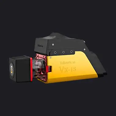
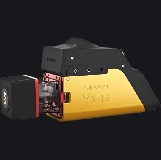
Vx15 series.

Made for adventurers.
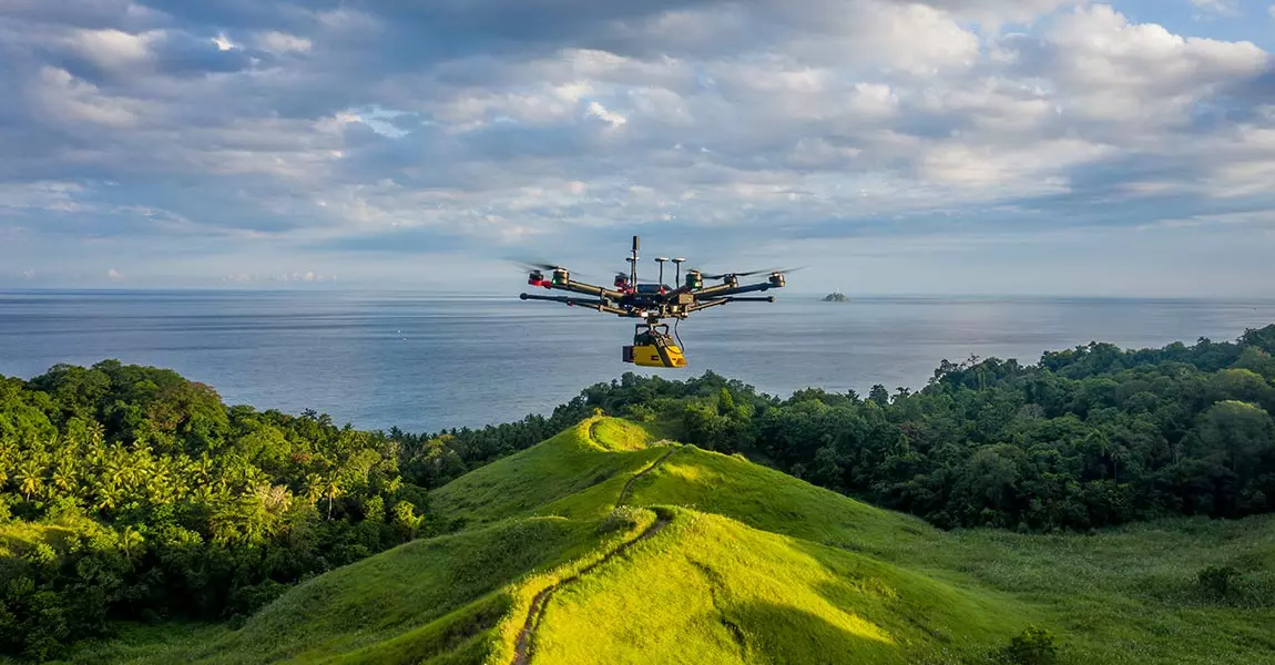
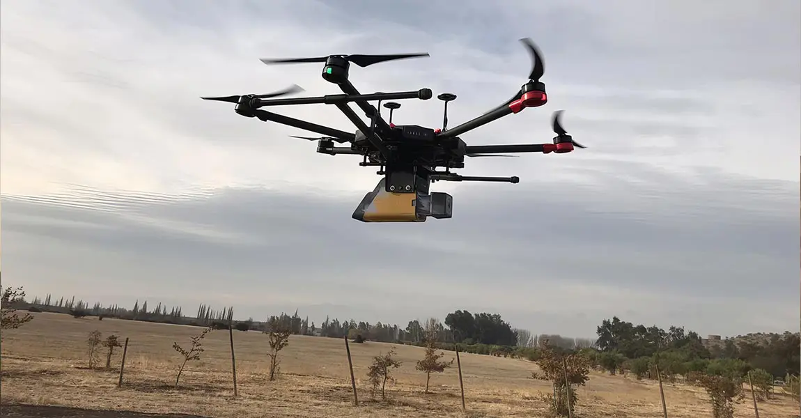
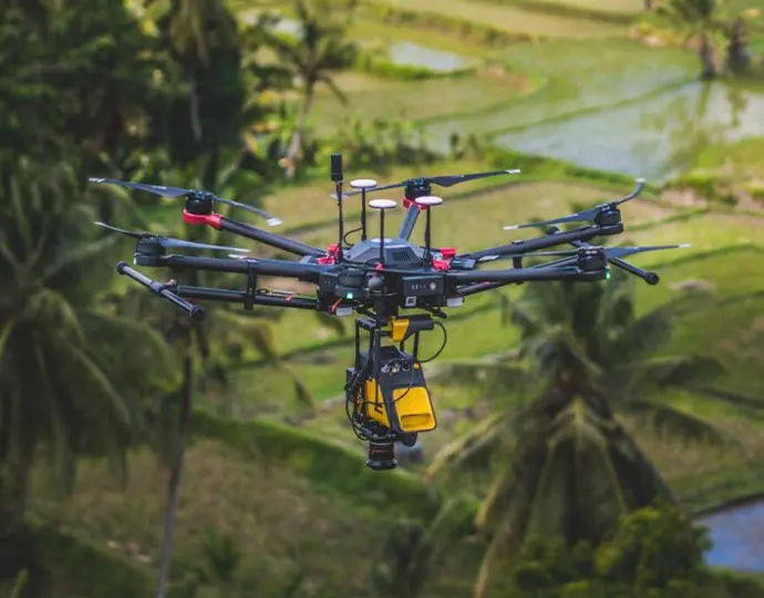
Go from mapping inaccessible sites in the Balinese mountains to secluded areas in Chile.

Compatible with

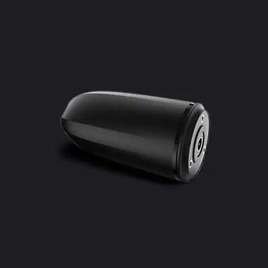
RGB camera option

Technology inside

Applanix / Riegl

Download the Datasheet
Datasheet vx15
Key figures Test
Specifications

Key figures

AGL Altitude
100m
330ft
System precision
1cm
0.4"
System accuracy
5cm
2"
Battery weight excl.
2.4kg
5.3lbs
  • View detailed characteristics
  • Precision1 cm
  • Accuracy5 cm
  • Typ. flight speed5 m/s
  • Max. AGL altitude100 m
  • Laser rangeUp to 170 m
  • Laser scannerRIEGL miniVUX-3UAV
  • GNSS-Inertial solutionApplanix APX-15 UAV
  • Scanner field-of-view360°
  • Echoes per shotUp to 5
  • Shots per secondUp to 200 000
  • Scanning frequencyUp to 100 Hz
  • Weight2.4 kg (5.3 lbs) batt. excl.
  • SizeL 35 x W 11 x H 17 cm
  • Autonomy1.5 hour typ.
  • Power consumption25 W
  • Operating temperature-20 to +40 °C

A variety of mission profiles

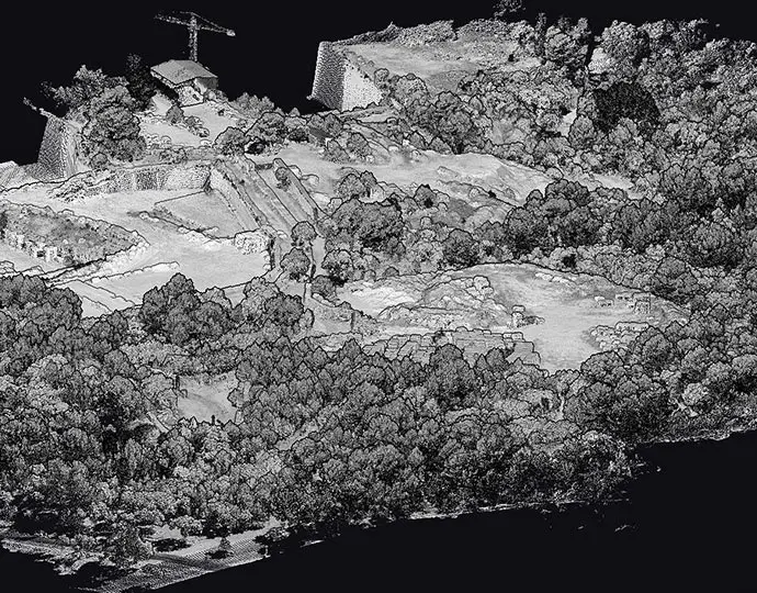
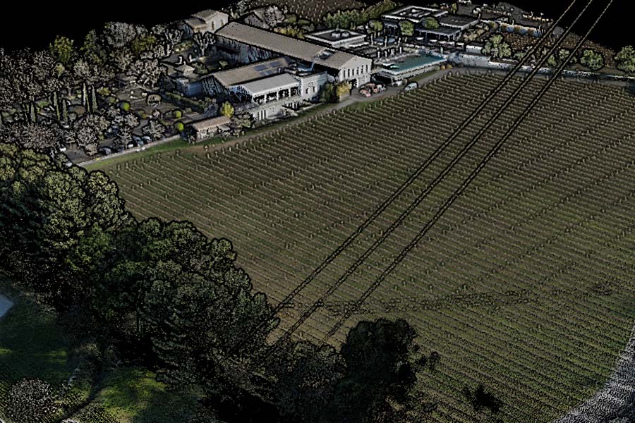
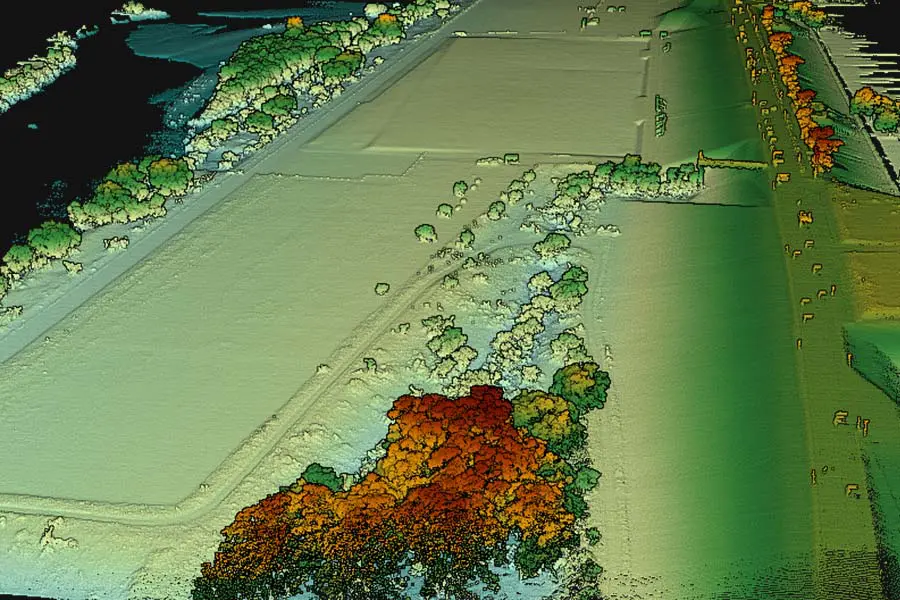
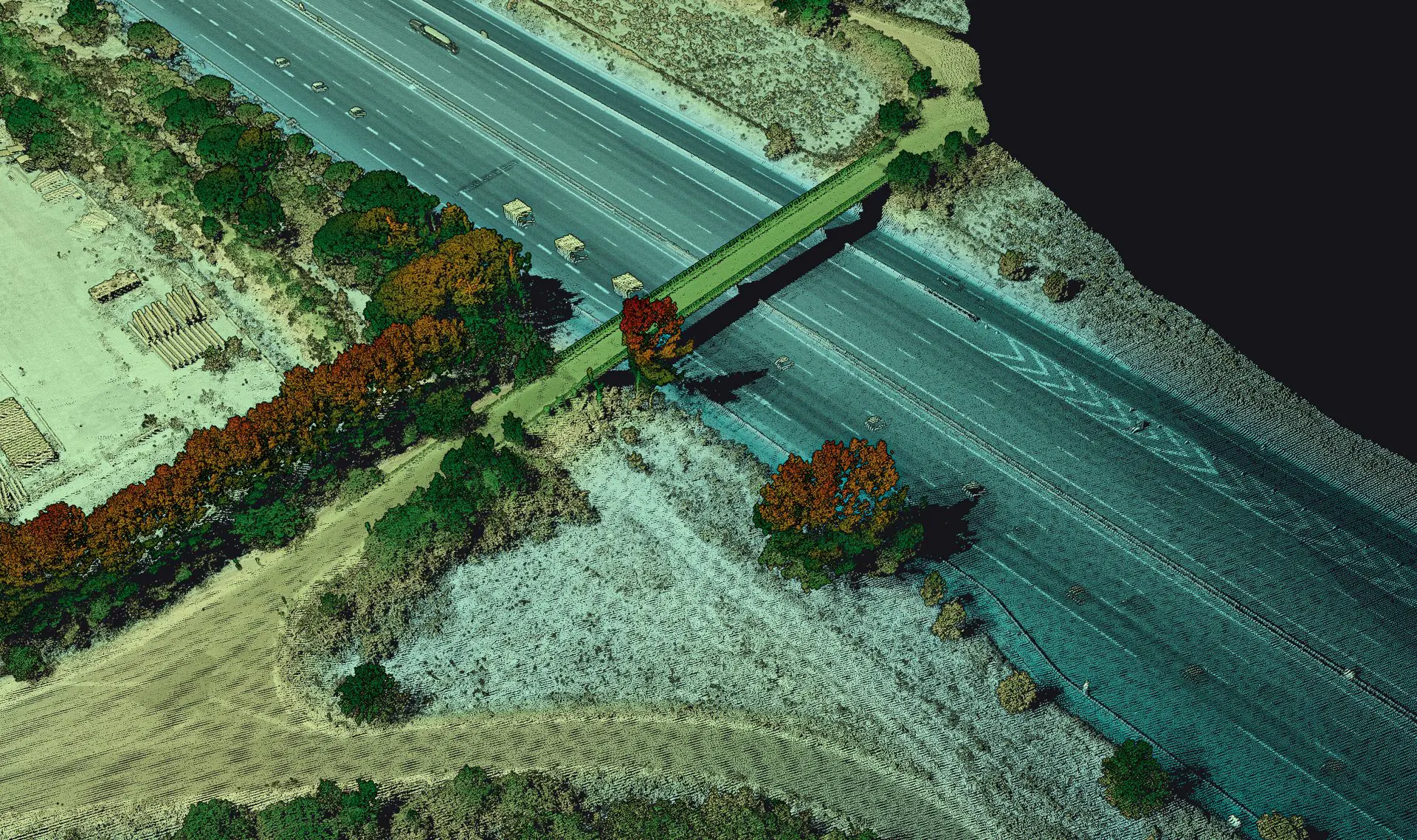
Pointcloud vx15 01
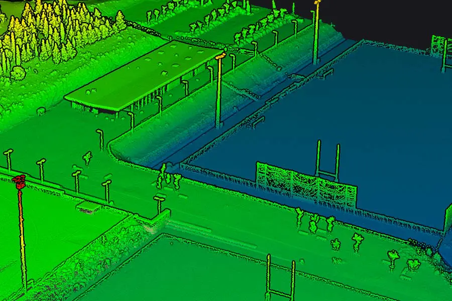
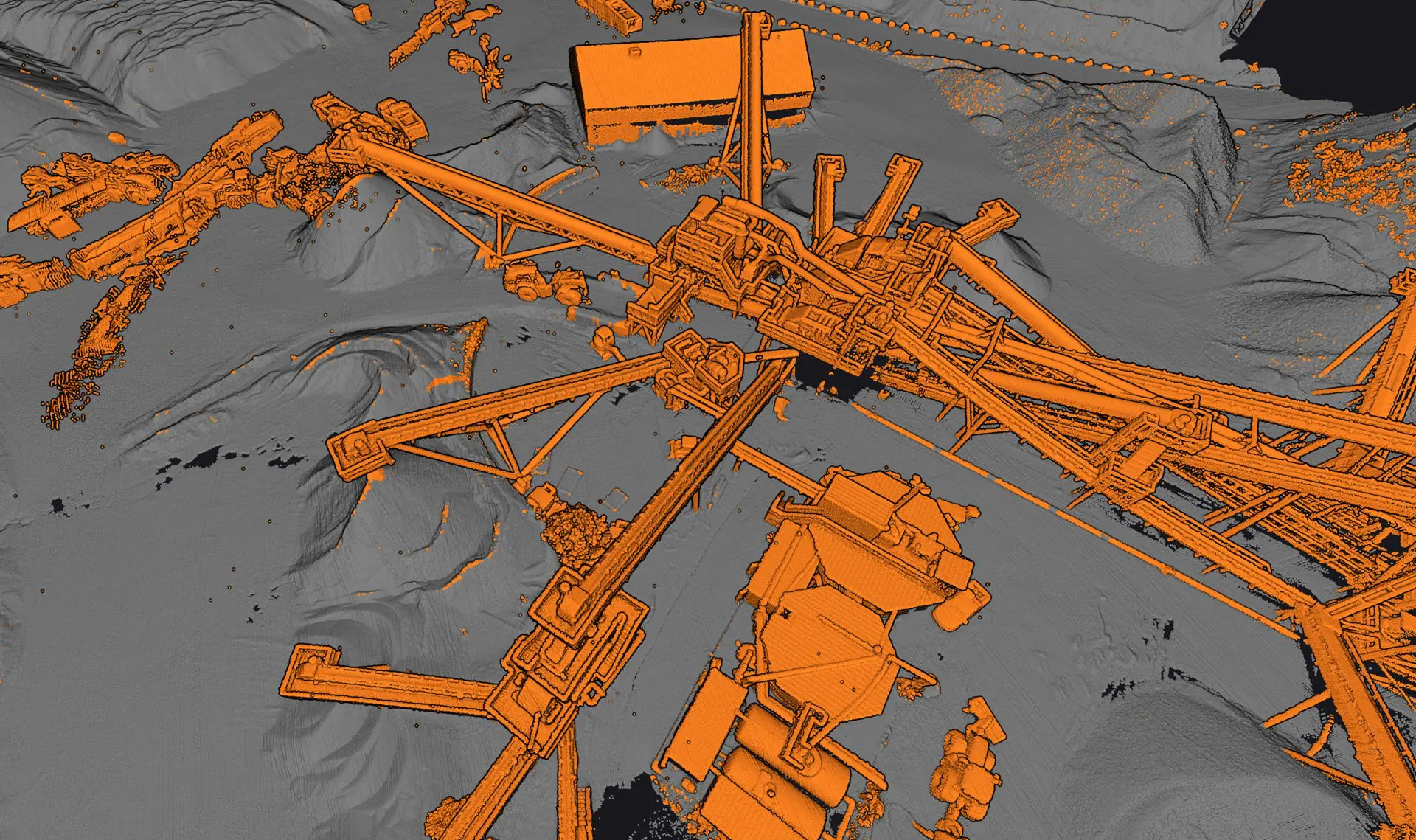
Pointcloud vx15 02
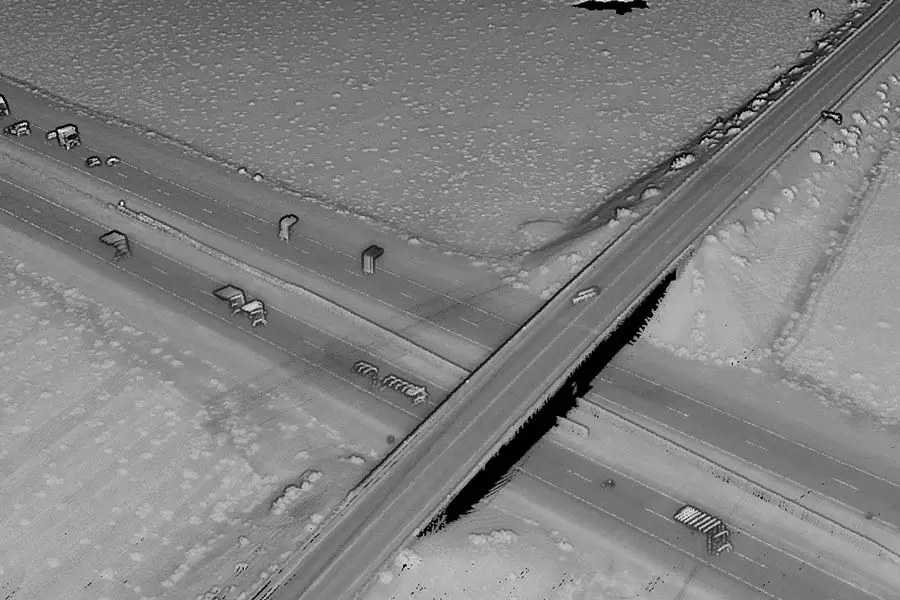
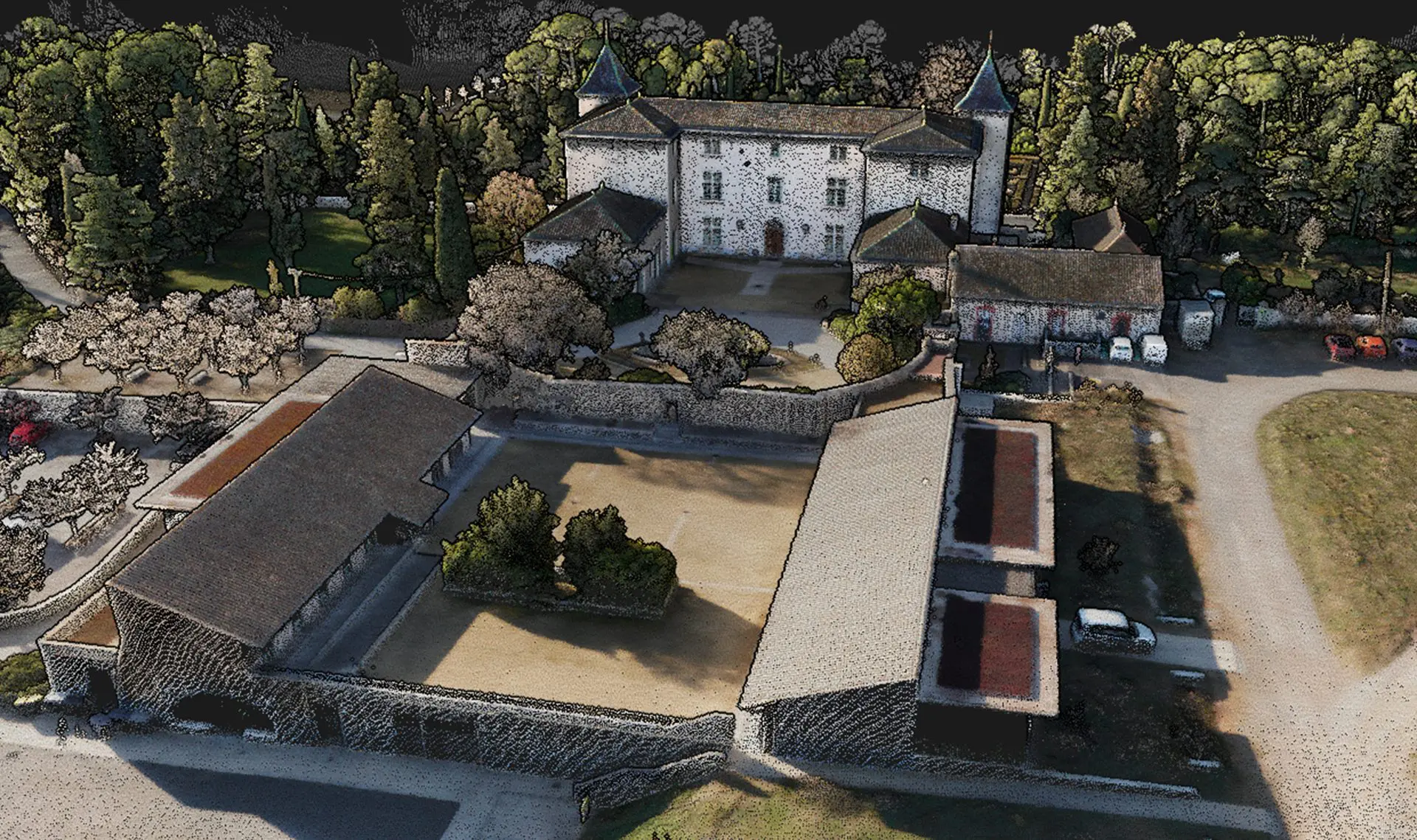
Pointcloud vx15 03
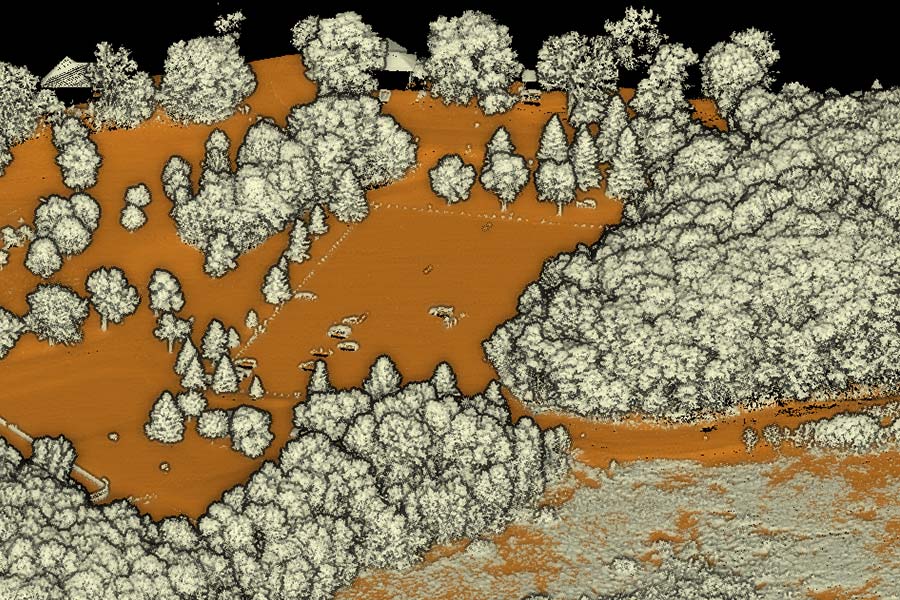
Pointcloud vx15 04
Pointcloud vx15 05
Pointcloud vx15 06
Pointcloud vx15 01
Pointcloud vx15 02
Pointcloud vx15 03
Pointcloud vx15 04
Pointcloud vx15 05
Pointcloud vx15 06

View the Vx15’s datasets

Discover
Vx15 integration landscape 01
Vx15 integration square 01
Vx15 integration portrait 01

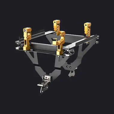
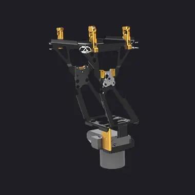
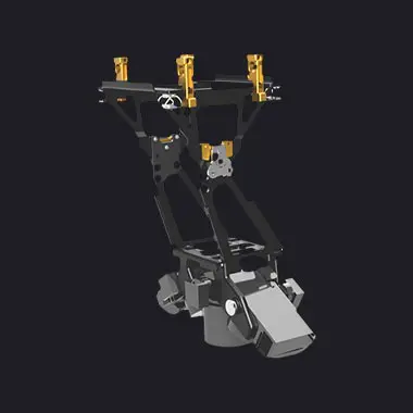
Designed to fit any UAV

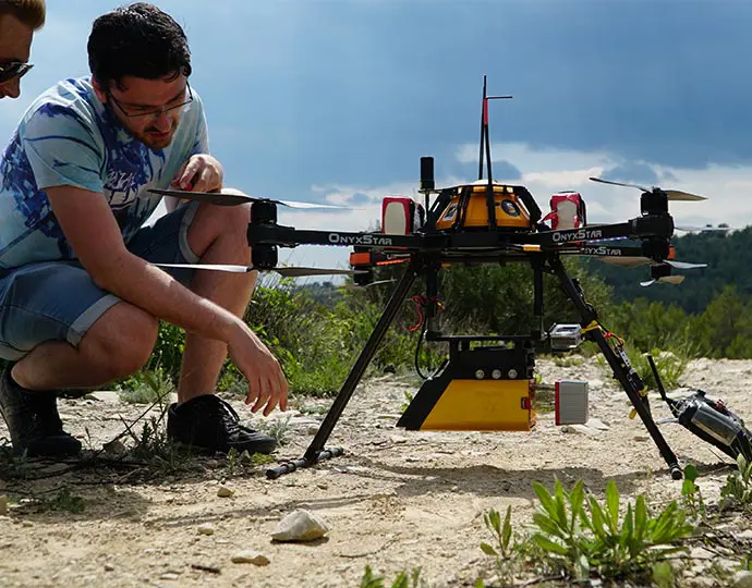
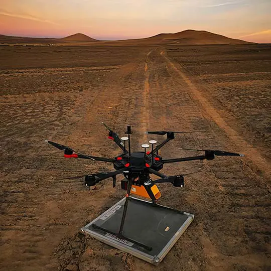
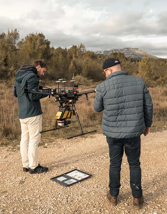
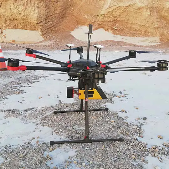
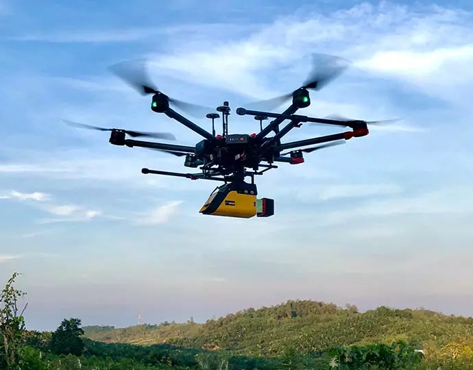
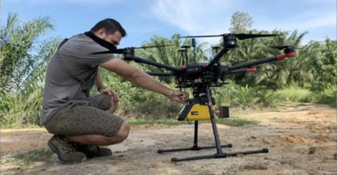
Its light weight allows you to easily mount it on a variety of UAVs: multirotor, fixed wing, or helicopter drones.
View the integrations list
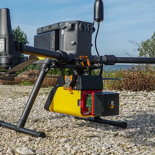
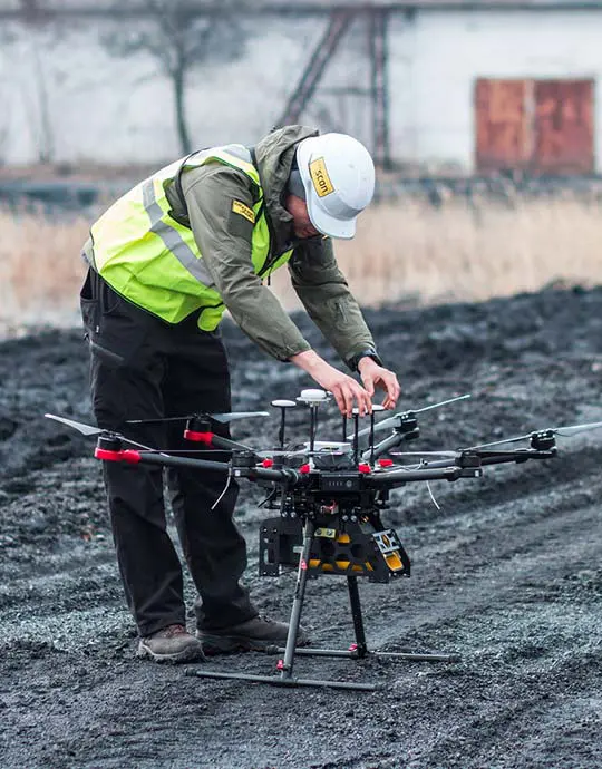
Multirotor
Helicopter drone
Vx15 integration square 02
Vx15 integration landscape 03
Vx15 integration square 02
Vx15 integration landscape 03
Vx15 integration square 03
Vx15 integration portrait 02

Accessories

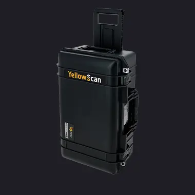
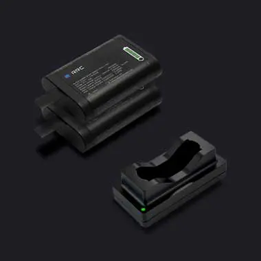
So, what’s included ?

Optional add-ons

Knowledge base

Discover our solutions by reading about our users’ experience in the field.

View all articles

Knowledge 20240702
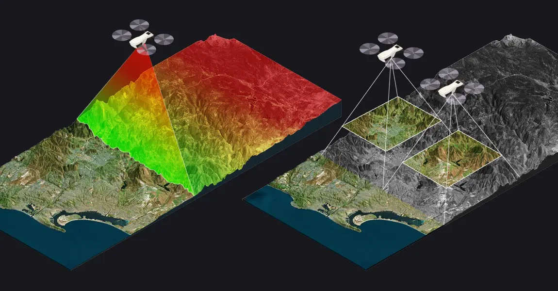
LiDAR vs Photogrammetry: Key Differences and Applications

This article compares two popular technologies for creating 3D models and maps: photogrammetry and LiDAR. The focus lies on key differences between both: how they work, the different outputs created for each, and popular use cases. The article finishes with a discussion of why investing in LiDAR can be a better choice, despite higher costs.

LiDAR point clouds basics
LiDAR Point Cloud Basics

This article explains what LiDAR point clouds are and how they are used for 3D mapping applications. Learn the basics of LiDAR point clouds!

Knowledge 20240430
Understanding LiDAR Scanners

LiDAR scanners are used for capturing 3D point clouds. But how do they work? This and more are explained in the article below, which covers the operating principle of different LiDAR scanners and explains how distance measurements are transformed and combined into 3D point clouds. These provide the basis for many 3D mapping products used for different industry applications.

Knowledge 20230310
Using UAV LiDAR for a reforestation project in Indonesia

Masarang Foundation, a 20-year-old ecological organization founded by world-renowned forester Dr. Willie Smits and based in North Sulawesi, Indonesia, has reforested 35 million trees to date.

Knowledge 20221109
3D pointcloud acquisition using UAV LiDAR for a Chilean mining project

The goal of this project was to generate a 3D model of the Huasco Pellet Plant (mining), in Chile, using the YellowScan Vx15 UAV LiDAR system.

Knowledge 20220628
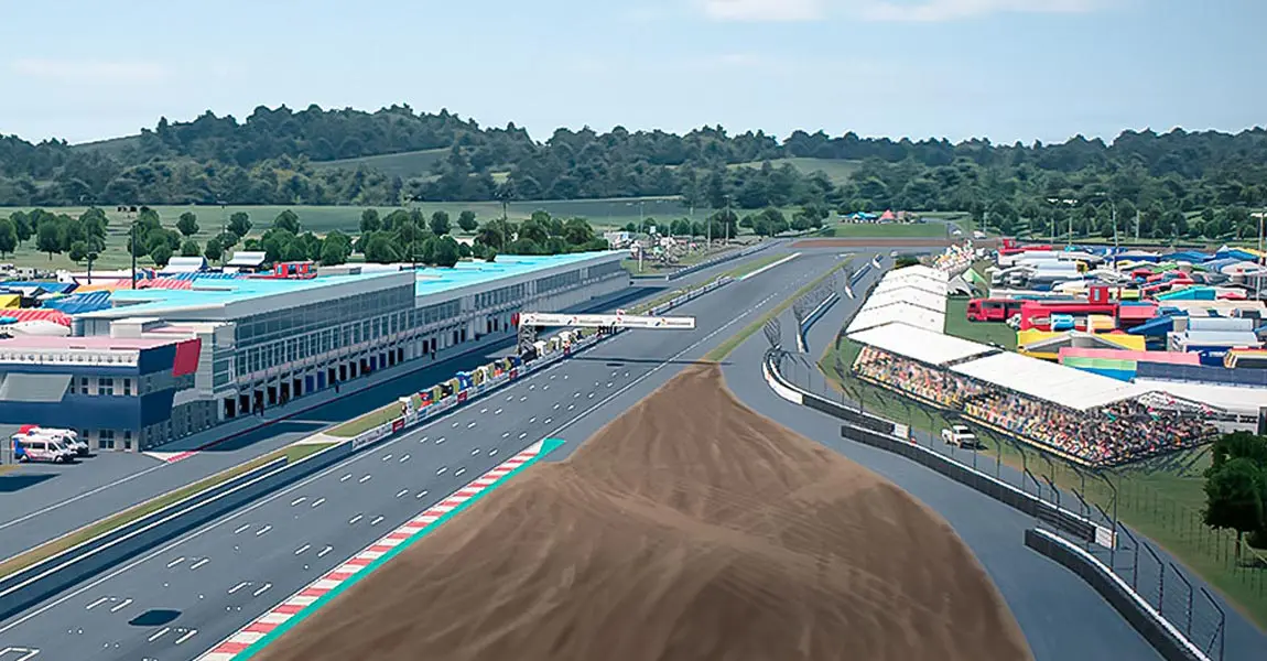
Entertainment & Media – 3D Modeling for Video Games using LiDAR (MotoGP 22)

Video games industry is turning to LiDAR technology to help it build 3D models in order to give players the best experience possible.

Knowledge 20200514
EverScan Flies LiDAR to Map Coal Stockpile in Ukraine

Discover how everScan speeds up stockpile volume calculation with LiDAR in a thermal power plant. Get precise volume calculation of stacks!

Knowledge 20200513
YellowScan Vx-15 Makes European Start-Up a Major Player in Indonesia

Discover how flying LiDAR gives French company a competitive edge for Bali civil engineering and mining surveys.

Make your life easier

Invest in productivity-enhancing features that will simplify your workflow and give you confidence in the deliverables produced for your projects.

Data generation in a few clicks

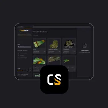
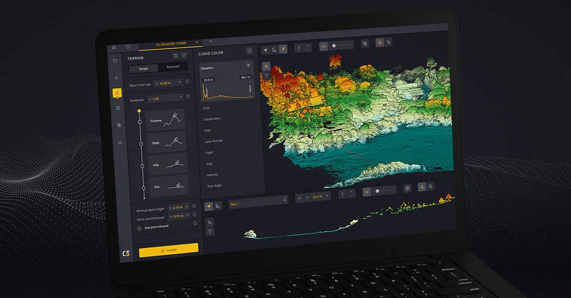
Handle your pointclouds with our own, all-in-one software solution. Extract, process, and display data immediately after flight acquisition.

Testimonials

They did it !

Software

Increase your productivity with our software suite


Discover our CloudStation software

Enhanced productivity

The Vx15 series is the ideal solution for high-flight projects with quick data processing needs.
Vx15 productivity

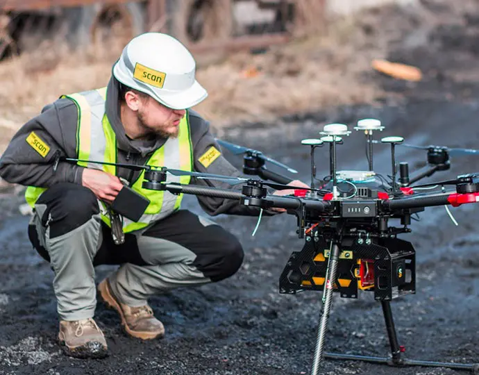
Fit for a wide variety of applications

Ideally suited for applications requiring sharp and accurate descriptions such as in civil engineering.
Vx15 fit variety applications

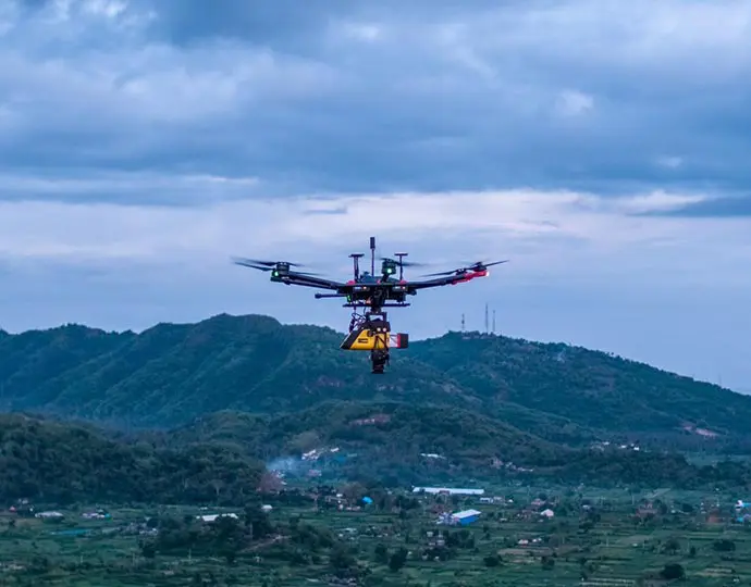
Customize your system

Choose the laser scanner that best suits your needs:

  • Vx15-100 (Scanner: RIEGL miniVUX-1UAV Laser pulse: 100kHz)
  • Vx15-300 (Scanner: RIEGL miniVUX-3UAV Laser pulse: 100kHz/200kHz/300kHz)
Vx15 customize system

CUSTOMER SUPPORT

A helping hand every step of the way

Find out more about our customer support

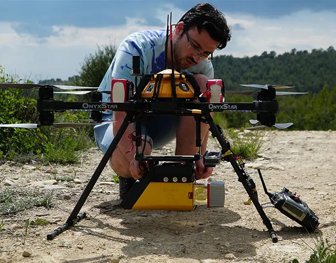
Advanced calibration

All our systems are calibrated before shipment and come with a calibration certificate. Be ready to fly your system as soon as you receive it!
Vx15 calibration

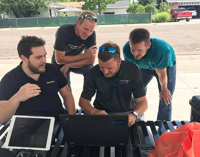
On-site training

YellowScan delivers complete training to new customers. The training is provided over 2 days and can take place at your premises or online.
Vx15 training

Technical support

Our 1 year unlimited technical support from our experts enables you to confidently undertake your projects, whether you are new or experienced in the field.
Customers researcher classroom

Hardware

Key differentiators

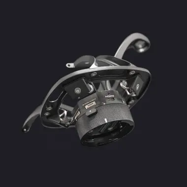
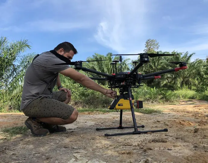
The lightest system in the Vx series, with 360° FOV
Vx15 easy operate

Single board GNSS-inertial solution

Vx15 gnss solution

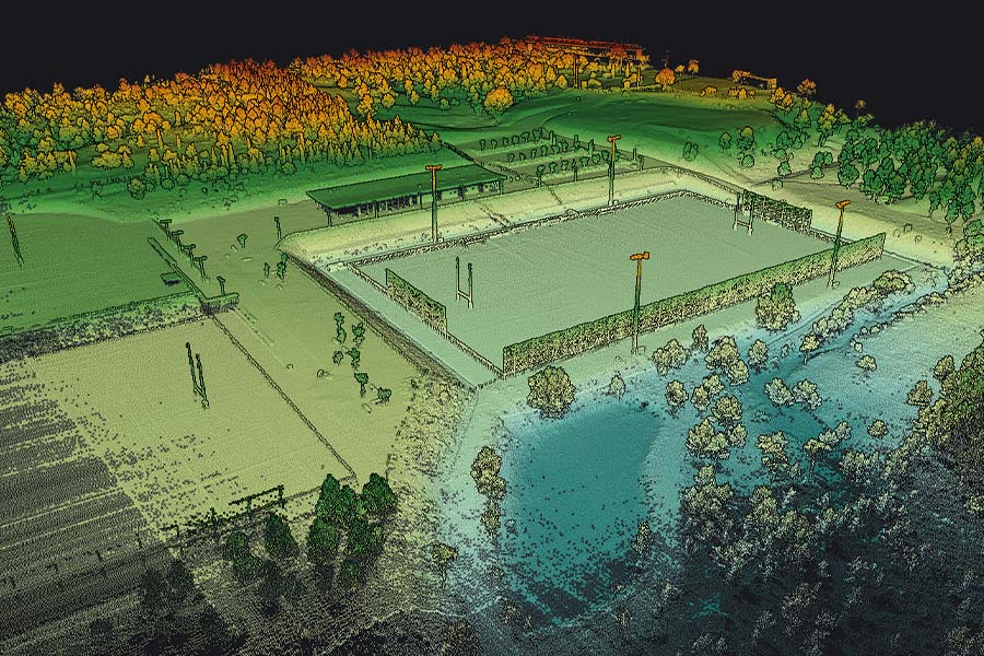
Calibrated intensity value
Vx15 intensity