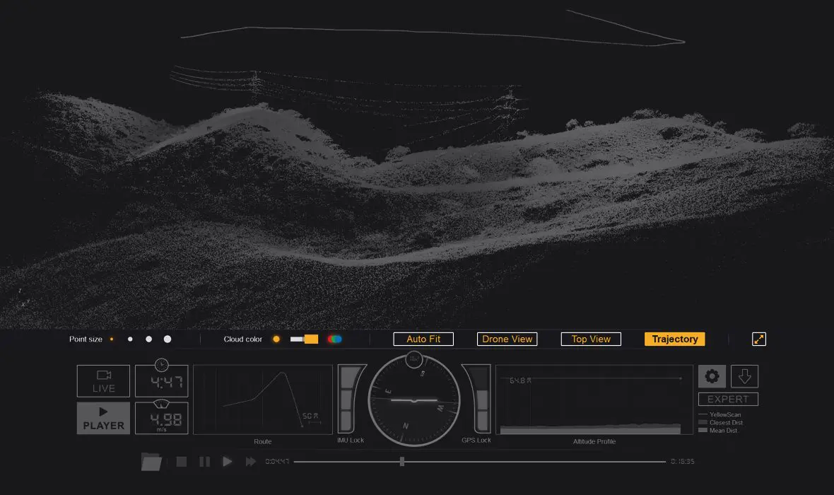
YellowScan LiveStation
Real time in-flight monitoring solution.
Want to discover more?
Contact our team of experts or download the LiveStation datasheet below:
A must for long endurance or complex LiDAR flights
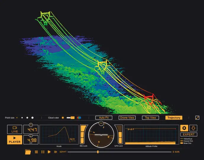
The YellowScan LiveStation enables you to monitor in real-time the validity and quality of the data being collected by YellowScan LiDAR systems.
Live 3D pointcloud visualization
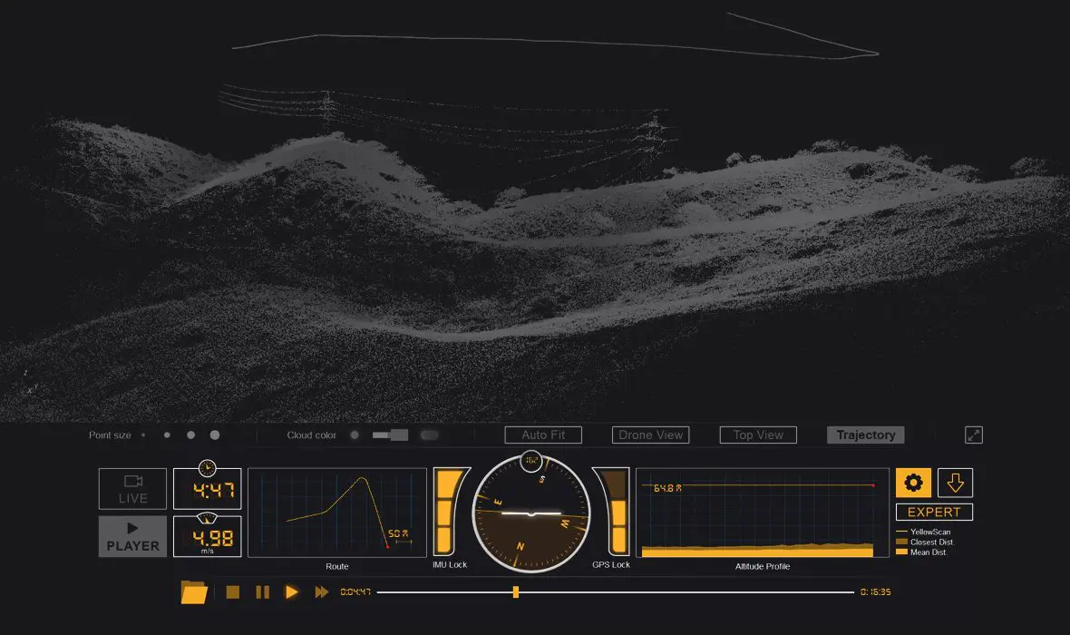
The LiveStation provides system operators with the immediate and relevant information needed to ensure a smooth acquisition even in difficult working conditions.
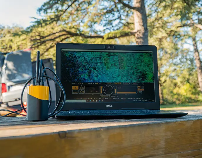
View your LiDAR data in real time
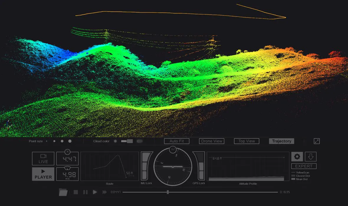
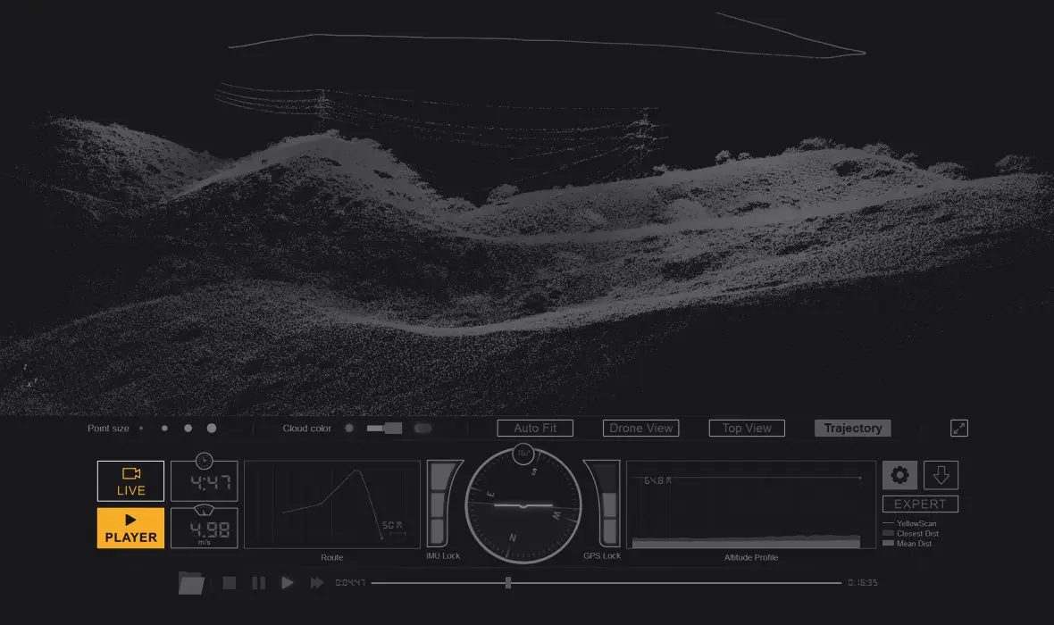
The LiveStation provides a three-dimensional representation of the pointcloud during flight, with the ability to zoom, translate or rotate.
Cutting edge visualization design
The user interface gives you an immediate summary of the system’s status. The transect view easily allows the operator to check in real-time whether the LiDAR can penetrate a forest’s canopy and sample the ground.
