Ready to get started?

Let’s talk! Our team of experts can help you clarify your needs and propose the most suitable solutions for you to successfully complete your mission.

Explorer.

Versatility at its finest.

Years of research for a unique product.

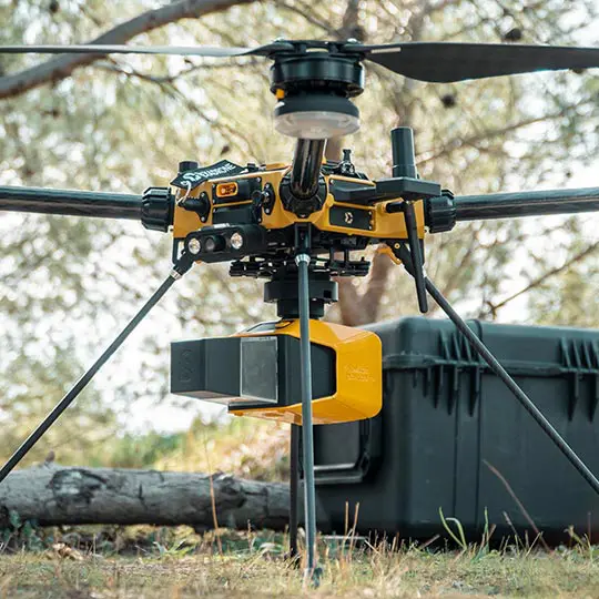
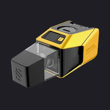
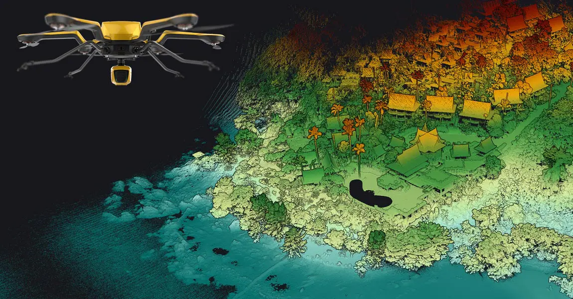
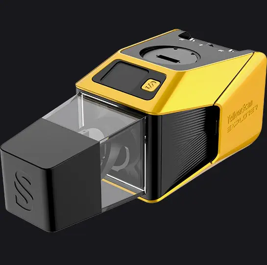
The Explorer is the first compact, versatile and long range platform on the market. It is the culmination of several years of research and development done by YellowScan, while closely working alongside customers and partners from around the world.

Compatible with

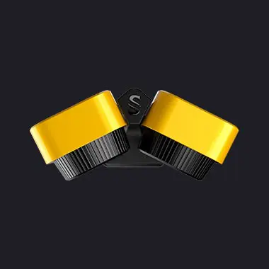
Single or dual RGB camera module

Laser scanner

A YellowScan development

Download the Datasheet
Datasheet explorer 2023
Key figures Test
Specifications

Key figures

AGL Altitude
Up to 200m
655ft
System precision
2cm
0.8"
System accuracy
2cm
0.8"
Battery weight excl.
1.8kg
4lbs
  • View detailed characteristics
  • Precision2 cm
  • Accuracy2 cm
  • Typ. flight speed10 m/s
  • Max. AGL altitude200 m
  • Laser rangeUp to 300 m
  • Laser scannerA YellowScan development
  • GNSS-Inertial solutionSBG Quanta Micro
  • Scanner field-of-view360°
  • Echoes per shotUp to 5
  • Shots per secondUp to 500 000
  • Scanning frequencyUp to 165 Hz (selectable)
  • Weight1.8 kg (4.0 lbs) batt. excl.
  • SizeL 270 x W 118 x H 135 mm
  • Autonomy1 hour typ.
  • Power consumption55 W
  • Operating temperature-10 to +40°C
  • Integrated CameraBuilt-in 2MP global shutter

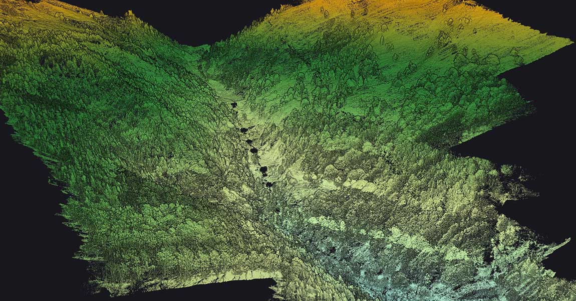
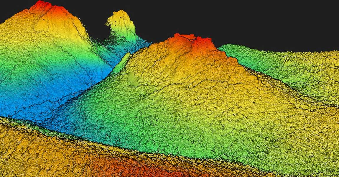
A variety of mission profiles
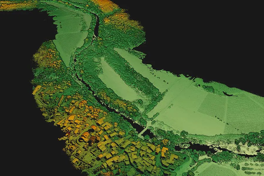
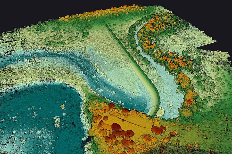
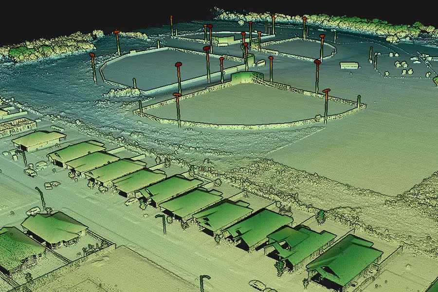
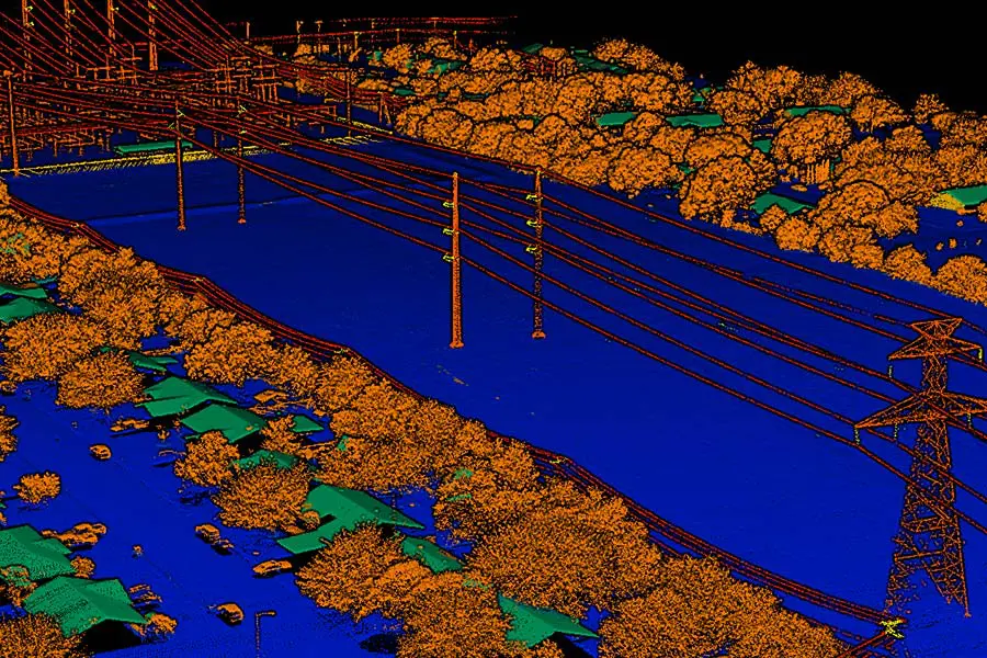
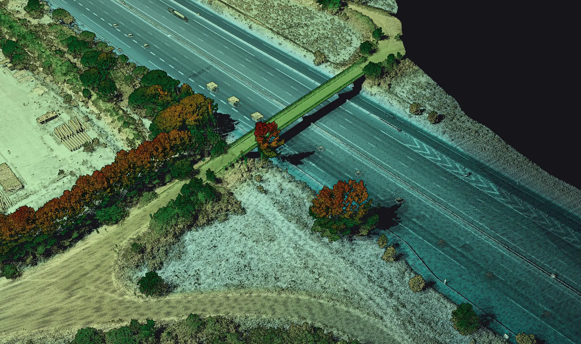
Pointcloud explorer 01
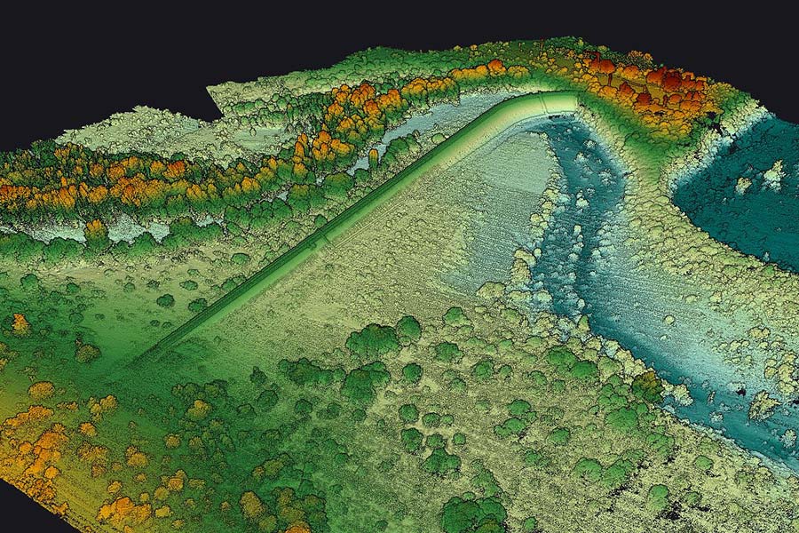
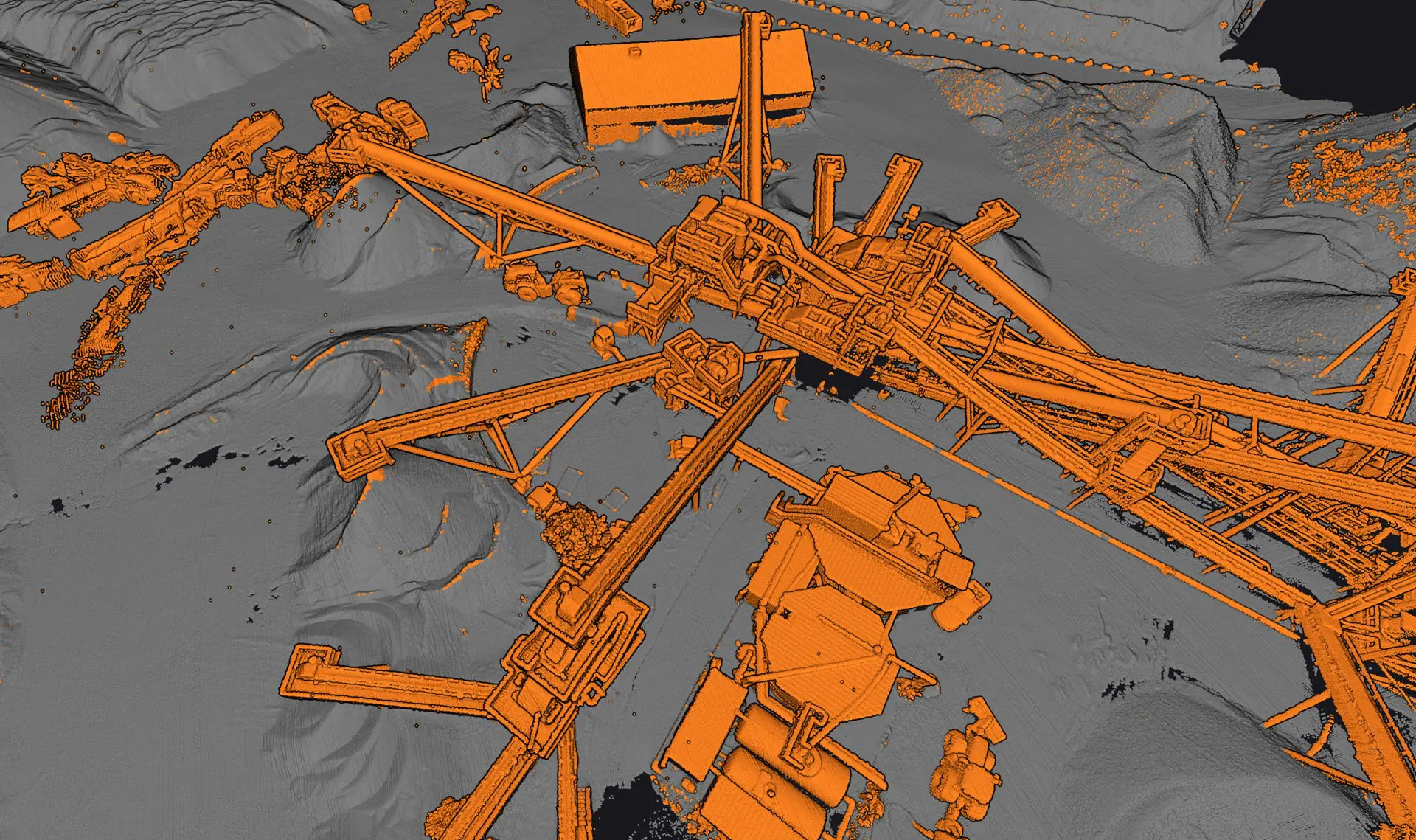
Pointcloud explorer 02
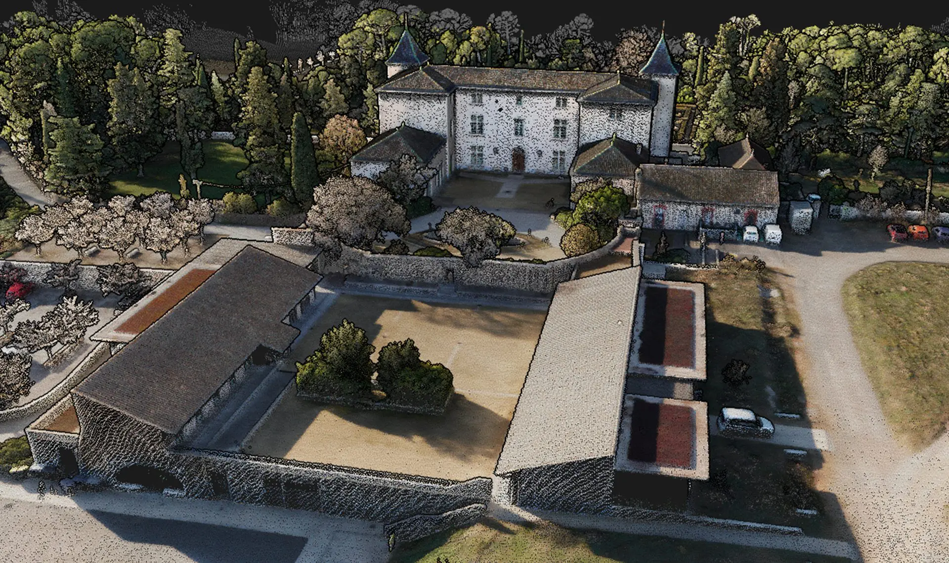
Pointcloud explorer 06
Pointcloud explorer 04
Pointcloud explorer 05
Pointcloud explorer 03
Pointcloud explorer 01
Pointcloud explorer 02
Pointcloud explorer 06
Pointcloud explorer 04
Pointcloud explorer 05
Pointcloud explorer 03

View the Explorer’s datasets

Discover
Explorer 2023 integration landscape 01
Explorer 2023 integration square 02

Hardware

Multi-platform adaptability

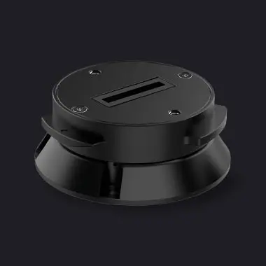
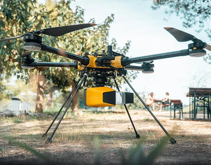
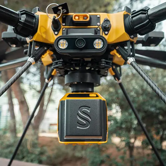
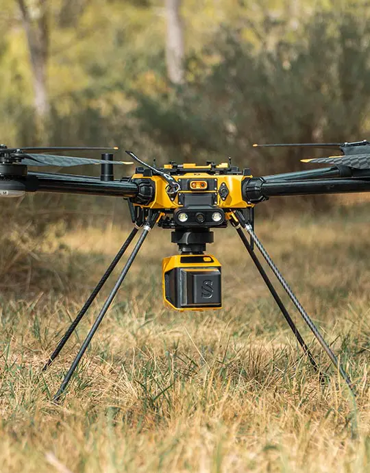
Complete more mission profiles with this compact LiDAR solution that can be mounted on light manned aircraft, helicopters or UAV platforms. When it comes to drones, the “quick release” attachment allows for easy mounting on a wide range of drones. Two options: Gremsy or Skyport, which can be interchanged depending on the drone you’re using.
View the integrations list
Multirotor
Fixed-wings
Land vehicles
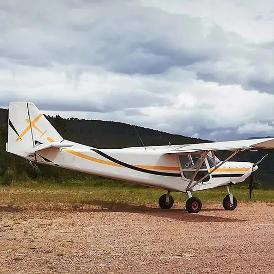
Light manned aircraft
Explorer integration square 02
Explorer 2023 integration square 01
Explorer 2023 integration portrait 01

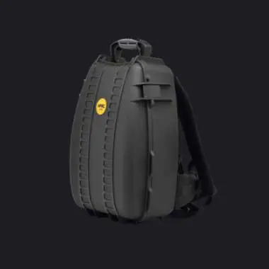
Accessories

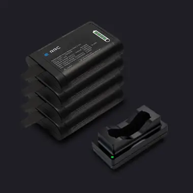
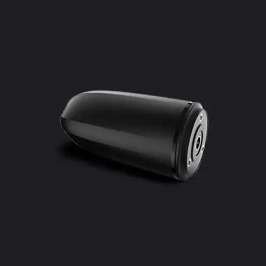
So, what’s included ?

Optional add-ons

Knowledge base

Discover our solutions by reading about our users’ experience in the field.

View all articles

CHICHEN -YELLOW 7-e1732609158451
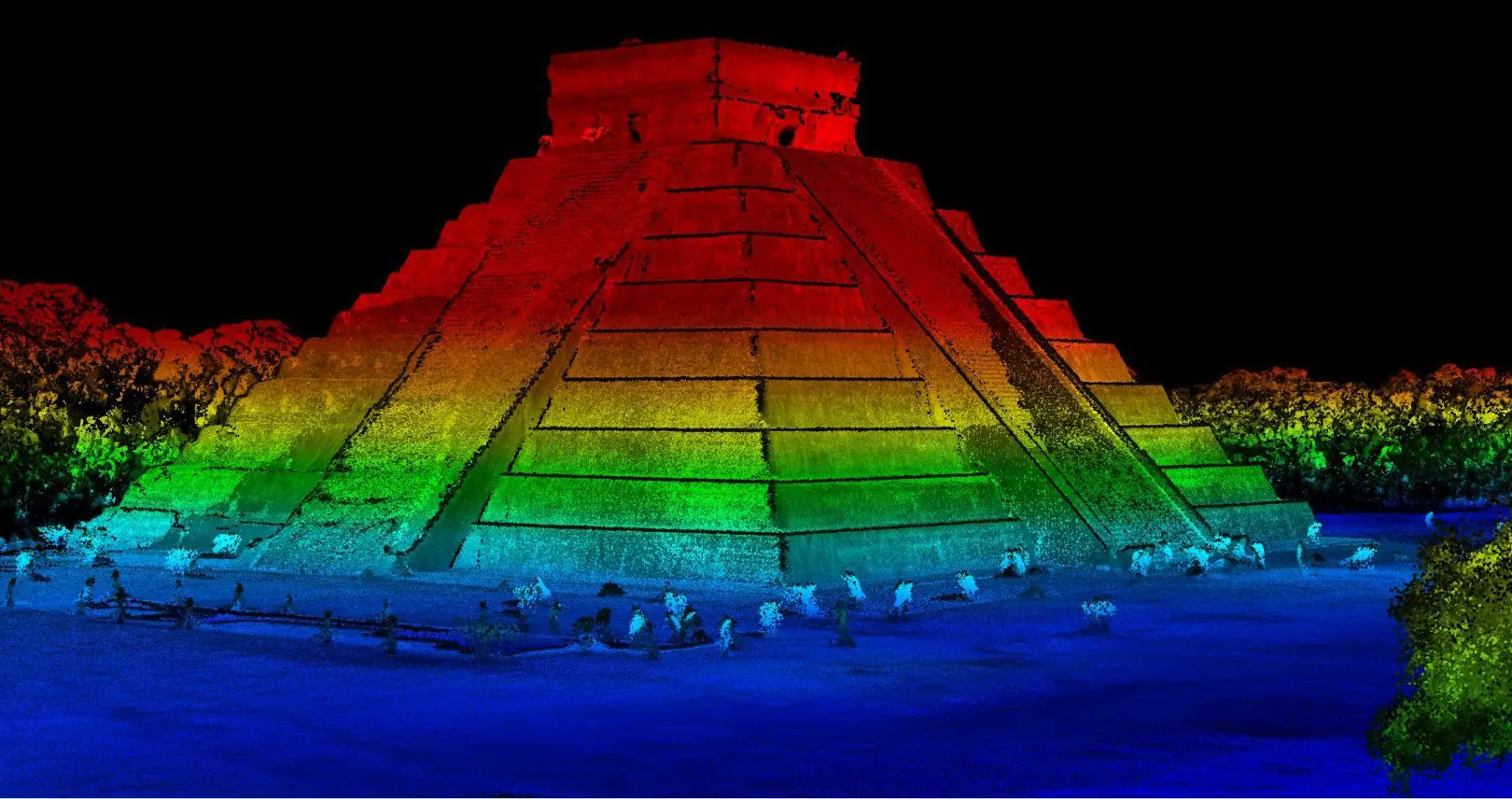
How LiDAR Mapping Uncovered Archeological Ruins in Mexico

Discover how advanced LiDAR mapping uncovers previously unknown Mayan ruins in Chichen Itza's protected zone.

Knowledge 20240702
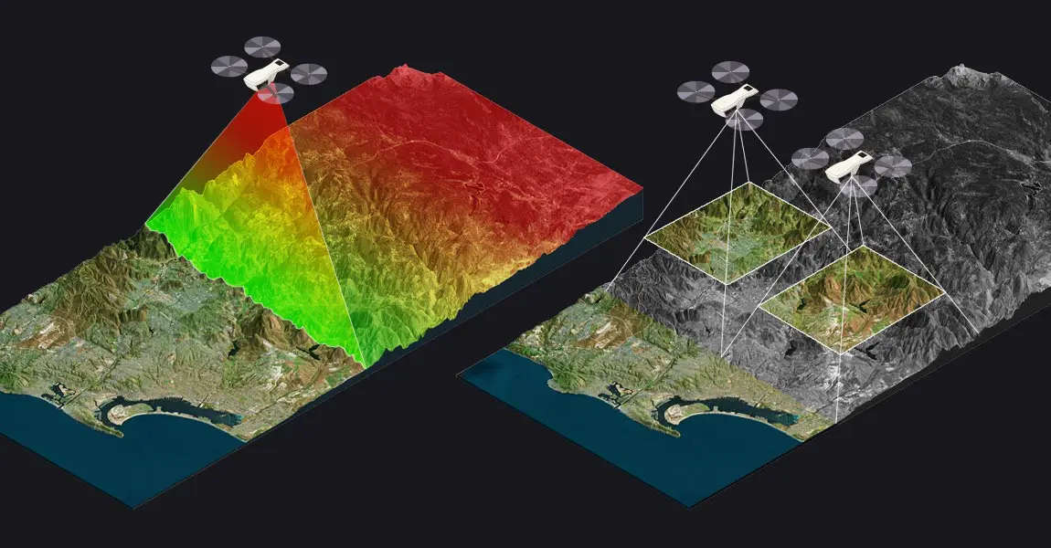
LiDAR vs Photogrammetry: Key Differences and Applications

This article compares two popular technologies for creating 3D models and maps: photogrammetry and LiDAR. The focus lies on key differences between both: how they work, the different outputs created for each, and popular use cases. The article finishes with a discussion of why investing in LiDAR can be a better choice, despite higher costs.

LiDAR point clouds basics
LiDAR Point Cloud Basics

This article explains what LiDAR point clouds are and how they are used for 3D mapping applications. Learn the basics of LiDAR point clouds!

Knowledge 20240430
Understanding LiDAR Scanners

LiDAR scanners are used for capturing 3D point clouds. But how do they work? This and more are explained in the article below, which covers the operating principle of different LiDAR scanners and explains how distance measurements are transformed and combined into 3D point clouds. These provide the basis for many 3D mapping products used for different industry applications.

Knowledge 20230706
Comprehensive LiDAR Survey for Modeling Pyrenees Avalanche Corridors

This mission was started by Instadrone in response to a request from the Departmental Directorate of Territories, which lacked LiDAR equipment and therefore outsourced the entire data capture process to drone companies.

UNESCO-World-Heritage-Site-Association-Mission-Patrimoine-Mondial
UNESCO World Heritage Site: Association Mission Patrimoine Mondial

The Association Mission Patrimoine Mondial (AMPM) is an organization created to set up and drive the application strategy.

Fly-toward-UNESCO-World-Heritage-certification-using-Explorer-LIDAR-1150x600-1
Fly toward UNESCO World Heritage certification using Explorer LIDAR
Mar 17, 2022 34 min
Powerline-monitoring-using-lidar
Powerline Monitoring Using LiDAR
Nov 23, 2021 52 min

Make your life easier

Invest in productivity-enhancing features that will simplify your workflow and give you confidence in the deliverables produced for your projects.

Partners

The Explorer is the result of years of research that YellowScan has gathered by working with its customers and partners around the world.

Data generation in a few clicks

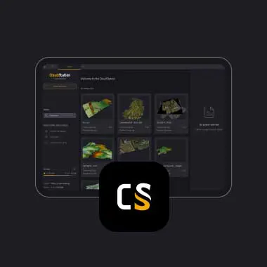
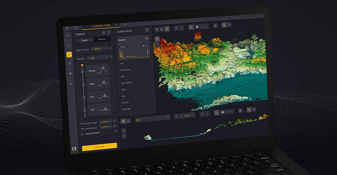
Handle your pointclouds with our own, all-in-one software solution. Extract, process, and display data immediately after flight acquisition.

Testimonials

They did it !

Software

Increase your productivity with our software suite


Discover our CloudStation software

Project history

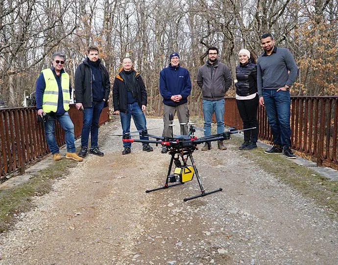
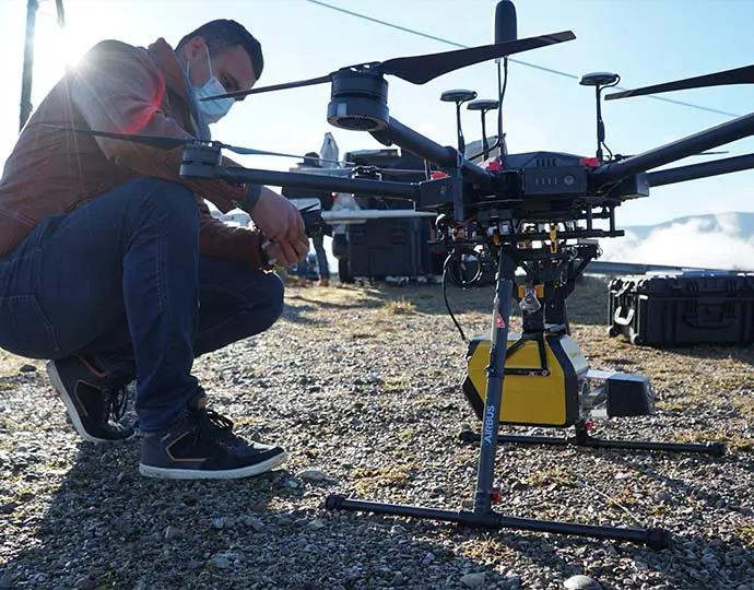
In 2017, YellowScan took part in a research project called FRELON (“French long range lidar”), funded by the European Regional Development Fund. The goal was to develop a new standard for long-range LiDAR by bringing together innovative specialists.
Explorer frelon 03

YellowScan collaborated directly with Airbus Defense and Space, UAV manufacturer Delair, M3 Systems and utility end-users EDF, RTE, Enedis and SNCF to develop the next generation solution to meet their requirements.
Explorer frelon 01

CUSTOMER SUPPORT

A helping hand every step of the way

Find out more about customer support

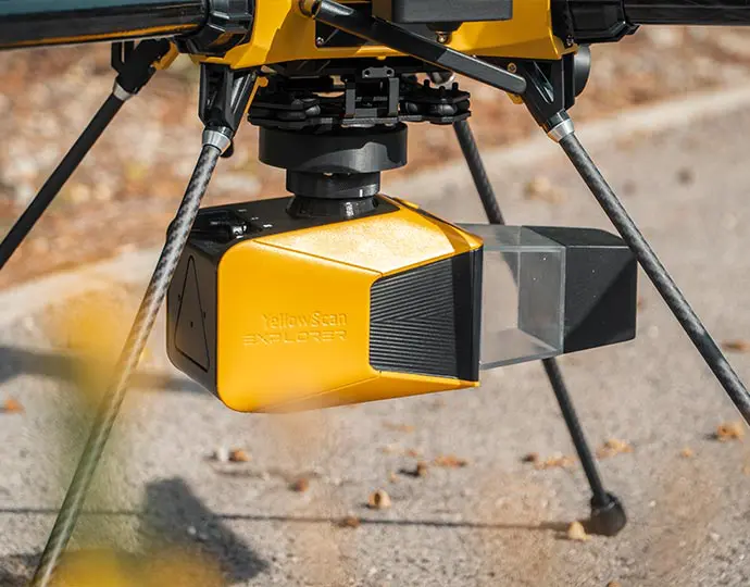
Advanced calibration

All our systems are calibrated before shipment and come with a calibration certificate. Be ready to fly your system as soon as you receive it!
Explorer 2023 scanner

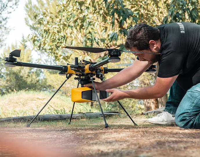
On-site training

YellowScan delivers complete training to new customers. The training is provided over 2 days and can take place at your premises or online.
Explorer 2023 training

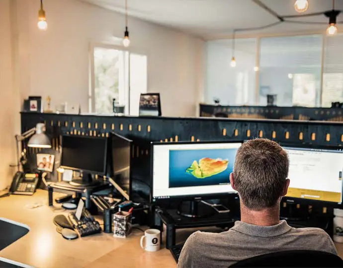
Technical support

Our 1 year unlimited technical support from our experts enables you to confidently undertake your projects, whether you are new or experienced in the field.
Technical support

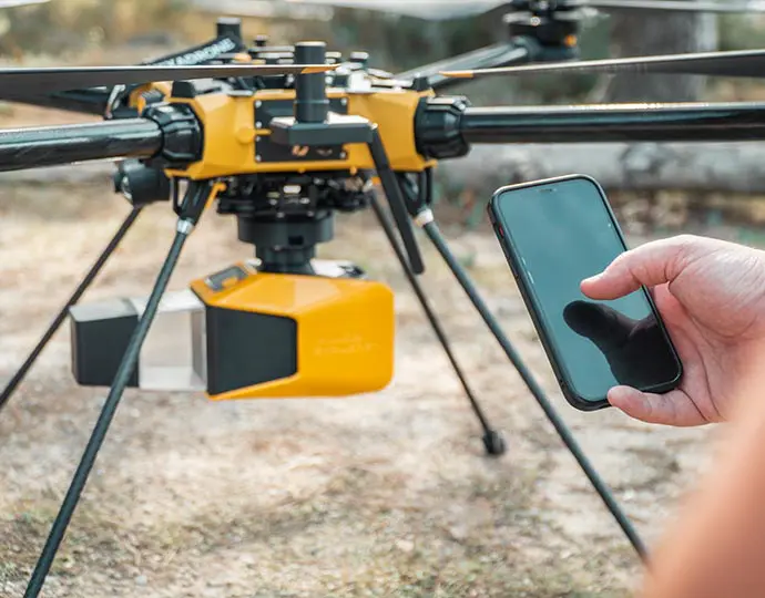
A one-of-a-kind laser scanner

We developed a unique laser scanner that met specific requirements and that could not be found in any other systems. You can select the right scanner parameter for each of your missions with the possibility to switch the laser PRF.
Explorer 2023 calibration

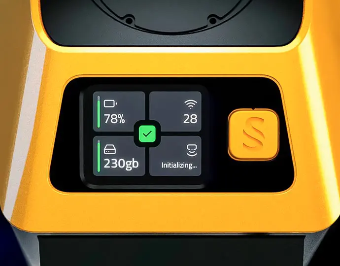
Front-facing LCD touch screening

This user-friendly display keeps you informed about the system’s status with ease.
Explorer 2023 lcd touch screen 03

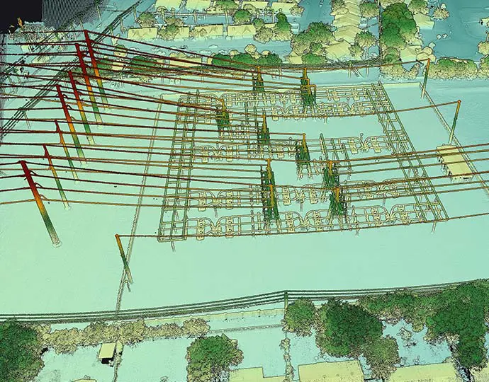
Fly high without compromising on data quality

Collecting data from a longer range will allow you to cover more area per flight and enable you to create and maintain digital twins of your assets and project sites. Flight operation speed can go from 5 to 35 m/s with a flying height of up to 300m.
Explorer fly without compromise

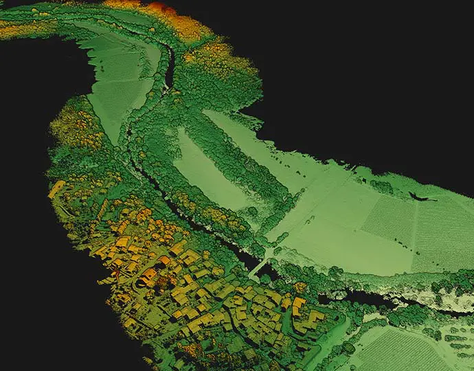
Optimal vegetation penetration

Its detection and processing of up to five target echoes per laser pulse will provide you with optimal vegetation penetration.
Explorer vegetation

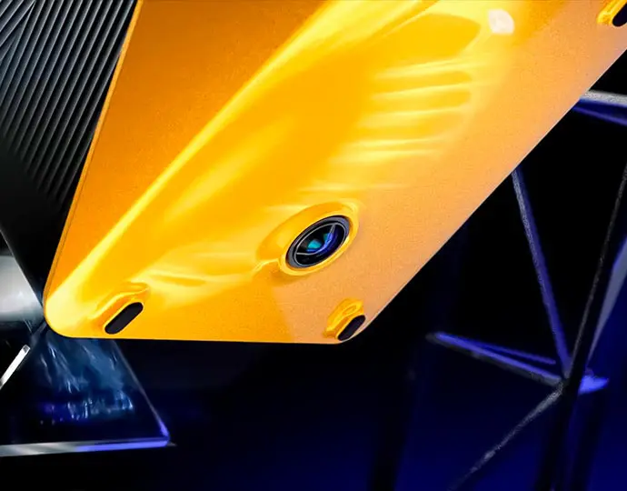
Embedded camera

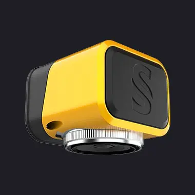
The Explorer now has an embedded camera (global shutter) that can be used for colorization purposes.
Explorer 2023 embeded camera

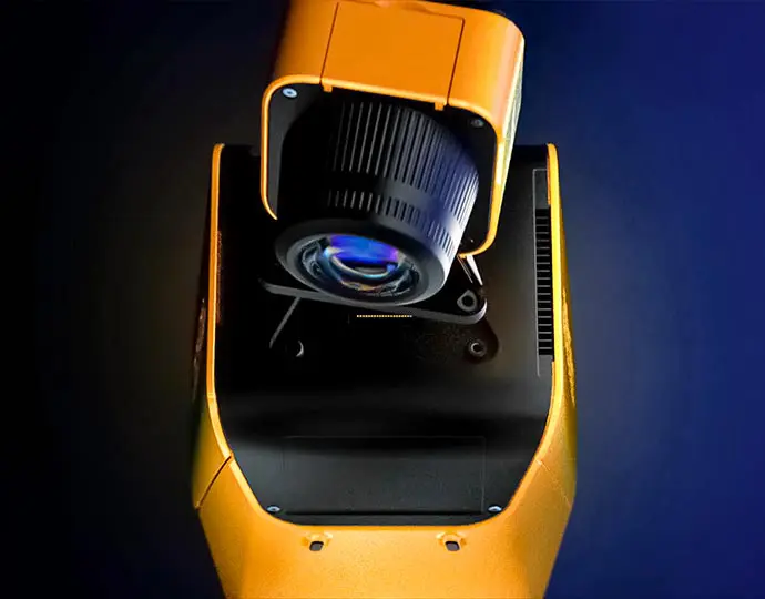
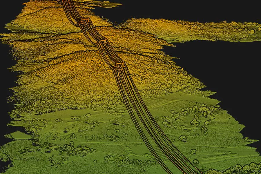
Collect LiDAR and RGB data

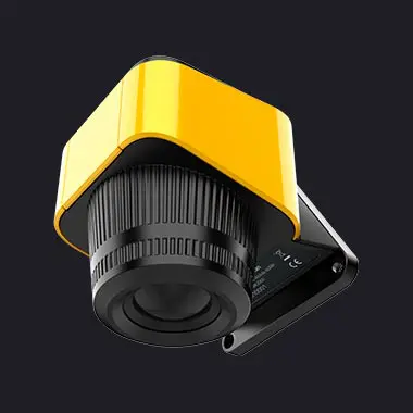
The Explorer is compatible with an optional 20MP or 60MP single-camera module, or a 35MP dual-camera module.
Explorer 2023 camera module