Revolutionizing Aerial Mapping: Ventus-Tech and YellowScan LiDAR System Delivers Unmatched Precision and Performance

December 12th, Montpellier – A breakthrough in unmanned aerial vehicle (UAV) technology has been achieved with the introduction of a new integration between an innovative LiDAR system and a cutting-edge drone featuring the revolutionary tailsitter VTOL design. Developed by a team of experienced UAV engineers, this advanced solution brings an unprecedented level of accuracy, efficiency, and flexibility to aerial mapping and surveying applications.
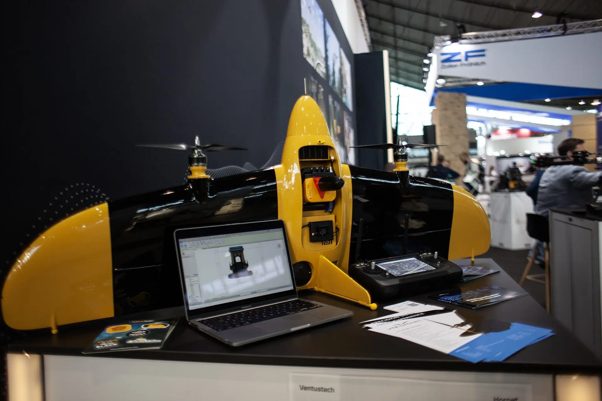
The drone, built in Europe with the highest manufacturing standards, represents the perfect blend of strength and lightness, weighing in at just 3950 grams including the LIDAR payload. The lightweight yet durable frame ensures superior endurance and performance even in challenging environments, making it ideal for industries such as construction, forestry, agriculture, and environmental monitoring.
The integration of a highly precise LiDAR system enhances the drone’s capabilities, offering detailed, real-time 3D data collection with exceptional accuracy. The tailsitter VTOL (Vertical Takeoff and Landing) design allows for seamless transition between vertical takeoff and horizontal flight, optimizing flight efficiency and making it suitable for operations in tight or rugged spaces where traditional UAVs face limitations.

This European-built UAV, with its innovative design specifically tailored for LIDAR mapping, powerful payload capacity, and compact form factor, is expected to transform the way aerial data is collected and analyzed across multiple sectors.
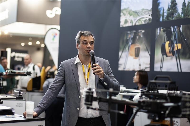
The drone weighting only 3950 grams including the Yellowscan Mapper+ OEM payload is now available for commercial use and will be on display during INTERGEO Hall 1 Booth G1.059, where professionals will have the opportunity to see firsthand how this technology can revolutionize their operations.
About YellowScan
YellowScan designs, develops, and produces UAV LiDAR solutions for professional applications. Known for their accuracy, robustness, and ease of use, YellowScan’s LiDAR systems are utilized in a range of industries, including forestry, mining, and topographic surveys.
About VTR Drones
„Precision born from experience”
Ventus-Tech is proud to introduce VTR Drones (Ventus-Tech Robotics Drones), a cutting-edge innovation built upon our extensive expertise. With over 8 years in the drone industry, more than 65,000 km flown, and over 1,200 hours of flight time, our drones are designed specifically for professional surveying.
Our team has extensive experience conducting advanced surveys using a variety of sensors, including LiDAR, thermal, RGB, and near-infrared technology.
Our drones are designed based on our experience spent on the field conducting aerial surveys with precision and everyday usability to meet the demands of surveying applications. Supported by a team of highly trained staff, we also bring expertise in mission planning, utilizing leading software platforms and the experience of working with data in the post-processing phase.
At Ventus-Tech, we know drones very well —inside and out. Our combination of hands-on flight experience and cutting-edge technology ensures reliable, high-performance solutions for your aerial surveying needs. Our drones deliver accurate and reliable results for diverse applications, while our team is always eager to find you solutions for your specific needs.
VTR Drones – where precision is born from experience.


