We’re YellowScan,
this is our story.

Key figures Test

Distributors and resellers around the world

Worldwide sales, customer training and support are delivered by a global network of representatives covering Europe, North and South America, Asia, Australia and Africa.

Technology partners

YellowScan is rapidly developing business relationships with established technical firms in the UAS, remote sensing and GIS industry.

At YellowScan, we design, develop, and build LiDAR solutions for professionals that require performance, robustness, and accuracy. Our hardware and software solutions are easy-to-use data collection tools that come with training and support from our experts.

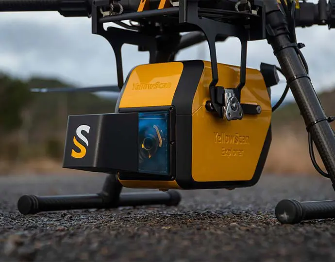
Our products come with embedded laser scanners, INS, GNSS receivers, and onboard computing. Each system is designed to meet the highest precision and accuracy needs for 3D mapping.

Founded in 2012 in the South of France, we now have sales, customer training, and support representatives around the globe.

Our customers use our products worldwide in surveying, forestry, environmental research, archaeology, industrial inspection, civil engineering, and mining sectors.
EXPERTISE

A full ecosystem for our users

Hardware

Integrated, versatile and robust LiDAR system design.

Explorer scanner

Software

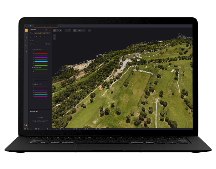
Real-time data synchronization & processing, system accuracy & precision, open format, CAD/GIS-ready

Cloudstation home.png

Customer support

Hands-on assistance, survey planning & operations, data classification, accuracy assessment, quality control

Calibration