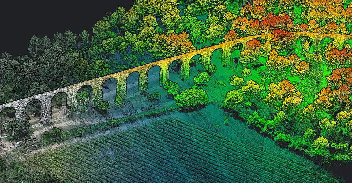
Using UAV LiDAR mapping for archeology
Aug 13, 2019


This presentation, in the form of a review of several prospecting archaeological sites, evokes topics such as the contribution of 3D modeling, complementarity with photogrammetry, interpretation of results and specific post-processing tracks.
To find out more, watch the video above.