Using YellowScan LiDAR for Landslide Identification
Challenge
National Forestry organization approached OR3D GEO to assess landslide risks within a large woodland In North Wales. Terrain instability and erosion are common in this area, where dense vegetation and challenging terrain have made traditional surveying methods ineffective for collecting accurate elevation data and monitoring ground movement.
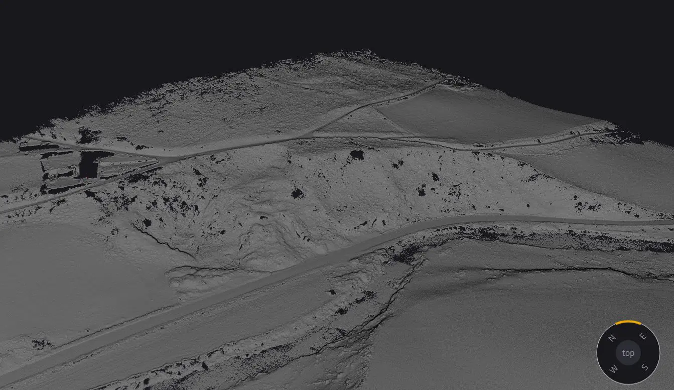
A key challenge was getting accurate elevation data to create elevation models, essential for identifying potential large-scale landslides in the future. Accurate elevation models are essential for understanding terrain morphology, predicting landslide risks, and implementing mitigation strategies. Without precise data, identifying subtle shifts in the land and estimating potential landslide debris becomes challenging. To tackle this issue, OR3D GEO relied on YellowScan’s LiDAR technology for the precision needed to overcome these obstacles, as it can penetrate dense vegetation and accurately map the terrain, enabling more effective monitoring and risk management.
Solution
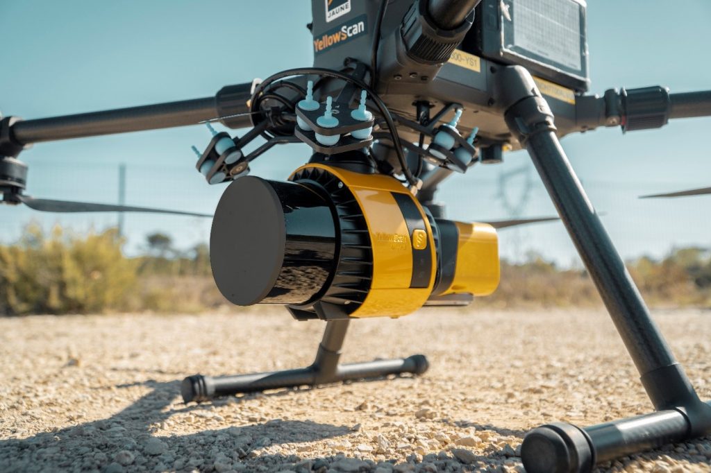
OR3D GEO selected the YellowScan Surveyor Ultra LiDAR system for this project. This system’s high pulse rate of 640,000 lines per second and capability to capture three echoes per shot delivered exceptional precision, with distance measurement accuracy of +/- 25mm and precision of +/- 30mm. These specifications enabled precise mapping even in densely vegetated, rugged environments.
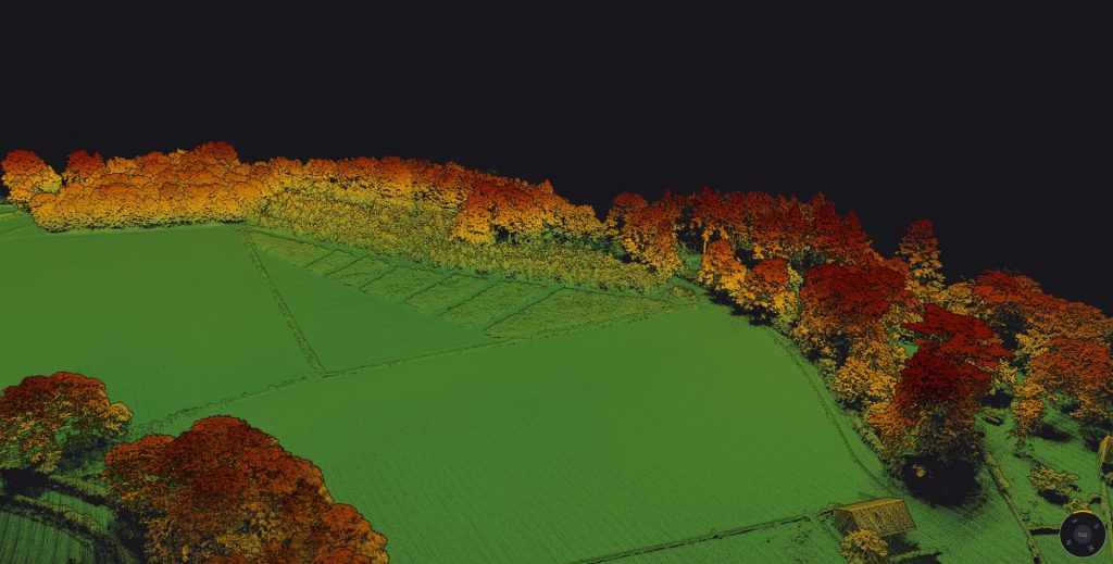
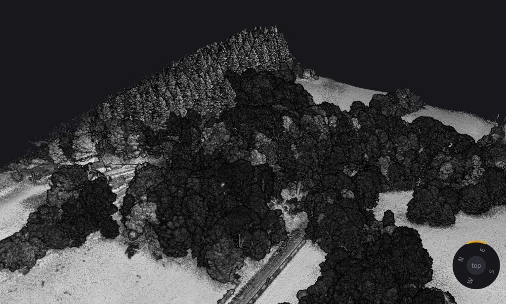
They used this system to capture detailed elevation data across the entire woodland area, as the high-speed laser pulses can penetrate dense tree canopies and debris, allowing for accurate measurements of the forest floor and the underlying terrain features.
Mission Parameters
- Survey Size: 60 hectares
- Flight Duration: One 30-minute flight at 50 meters altitude
- Data Transmission: Real-time, live data using Starlink
- LiDAR Returns: Up to 3 echoes per shot
Results
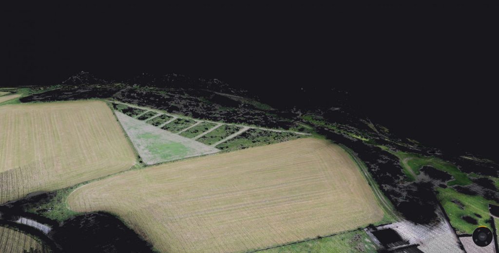
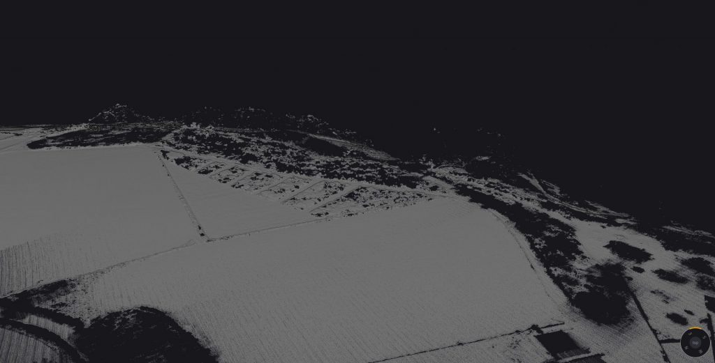
- Point density: Points Per Square Meter: 300 pts/sqm
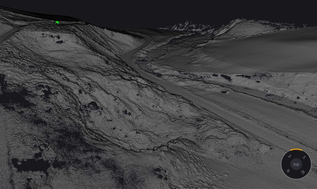
OR3D GEO successfully identified high-risk areas susceptible to landslides. The precise topographic mapping allowed them to pinpoint steep slopes and areas showing signs of previous erosion or potential drainage issues. This valuable data supported the development of effective mitigation strategies to protect the forested landscape from future geological hazards.
The YellowScan Surveyor Ultra helped OR3D GEO collect accurate data in challenging environments. This data provided useful information to the National Forestry organization, enabling them to make informed decisions about land management and conservation for the future.
YellowScan’s Surveyor Ultra allowed us to capture precise elevation data in dense woodland where traditional methods failed. This clarity was essential to assess landslide risks accurately and offer our customer actionable insights for effective land management.

James Earl
Managing Director – OR3D GEO
