Remote Sensing: What It Is and How Is It Used?

This article covers remote sensing and its applications. We’ll explain what is the difference between active and passive remote sensing, and cover the different technologies and platforms used for remote sensing. Finally, we’ll have a look at recent and future developments of remote sensing.
What is Remote Sensing?
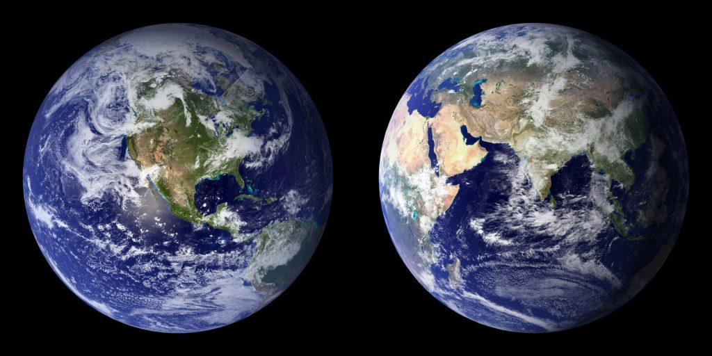
Remote sensing means obtaining information about objects or surfaces from a distance. As a geospatial discipline and science, remote sensing is concerned with detecting and monitoring the physical characteristics of an area without making physical contact. This is done with remote sensing technology, which involves aircraft and satellite-based sensor technology sampling electromagnetic radiation from the Earth.
Remote sensing as a discipline has been around since 1800, when the first airborne surveys were carried out using hot air balloons, pigeons, and kites with early film cameras. From the 1900s, airplanes were used for aerial photography, while the first occurrence of satellite technology for remote sensing happened in 1957. The amount of Earth observation satellites has grown rapidly in the last decades: in 2008, there were more than 150 in orbit, but in 2021 this number had grown to 950. New technology such as drones and robotics augments existing remote sensing platforms.

The term “remote sensing” was conceived by Evelyn Pruitt, a geographer at the U.S. Office of Naval Research, along with a fellow staff member named Walter Bailey. In the early 1960s, new developments in image processing of satellite imagery made her realize that the term “aerial photography” was not adequate to describe the data streams generated by new technologies. Therefore, a new term was proposed.
Remote sensing has changed the way scientists study the planet, and it is used in different industries, including agriculture, urban planning, climate monitoring, and more. The quality of remote sensing data is measured in different types of resolution, including spatial, spectral resolution, radiometric, and temporal resolution.
Types of Remote Sensing
Passive Remote Sensing
Active Remote Sensing
Applications of Remote Sensing
Remote sensing is used in many different fields, including weather forecasting, forest mapping, as well as coastal and ocean applications. We’ll cover some of the most popular applications for remote sensing today below and describe how remote sensing benefits each one:
Agriculture and Resource Management
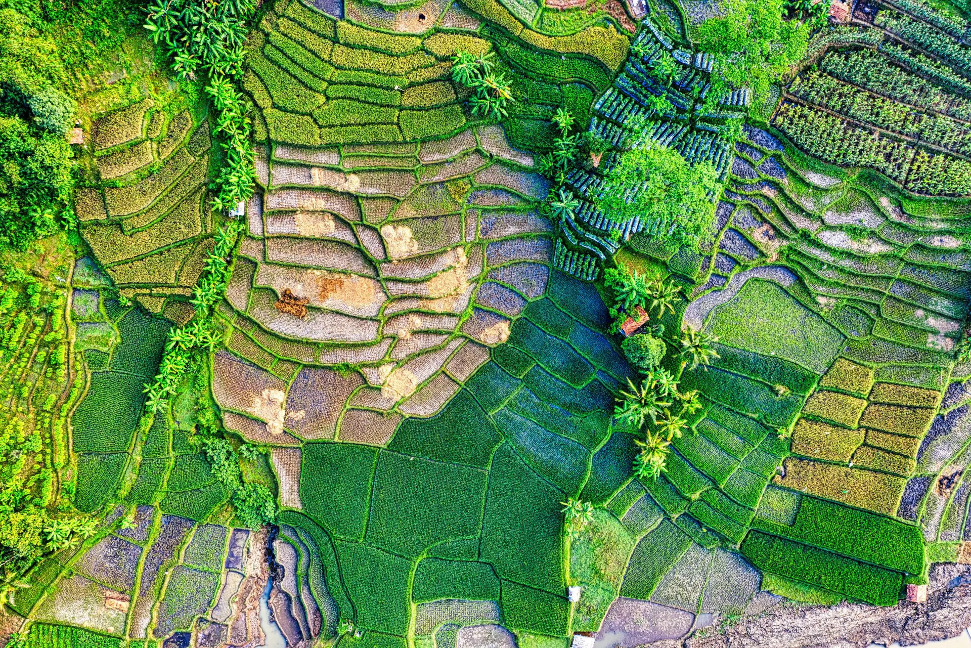
Agriculture is a popular remote sensing use case, as it enables farmers to monitor their crop health and vigor, so they can take action when more irrigation is needed, for example. This is all possible because multispectral sensors capture reflected light from plants and crops. Multispectral sensors are examples of passive sensors, and capture image data within specific wavelength ranges across the electromagnetic spectrum. The most common example of multispectral images are conventional RGB color images, which contain three spectral image planes.

For larger areas, remote sensing is used for natural resource management to acquire data about the state of these resources in order to protect or assess the impact of a policy or (natural) change. Remote sensing is used in this context for monitoring land cover, vegetation, soil and geology. For example, Earth observation satellites from the Landsat program or the IKONOS satellite capture images of various wavelengths for various use cases, including land cover, detect invasive vegetation, estimating large-scale soil moisture for modeling the interaction between land and the atmosphere for weather and climate modeling. In geological sciences, remote sensing is used as a complementary data acquisition method to field observation to map geological characteristics
Environmental Monitoring
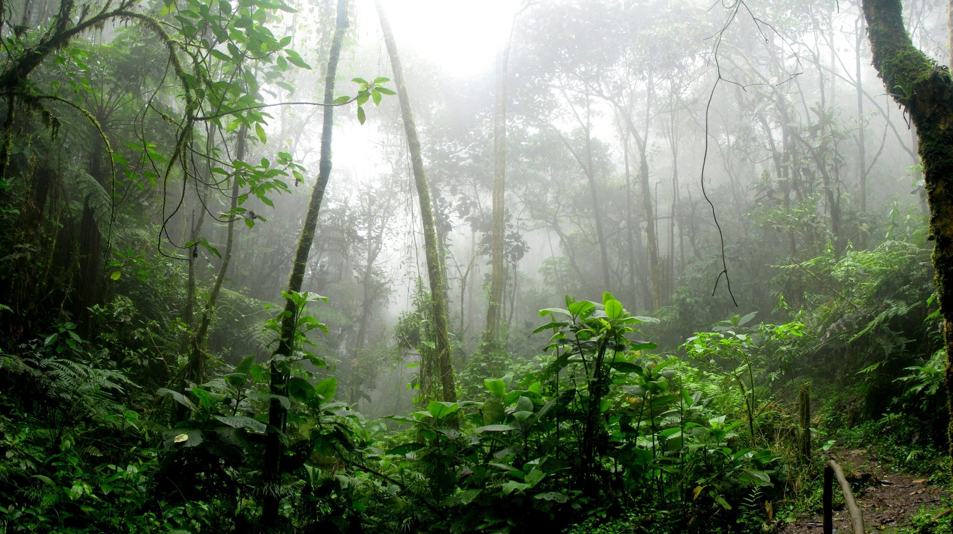
Remote sensing plays a huge role in environmental monitoring as satellites allow for capturing imagery of large areas on a frequent basis. This makes it easier to monitor and detect changes in the environment, to characterize and describe the state of the environment in preparation of environmental impact assessment. Often, these changes are the effect of harmful human actions. For example, remote sensing helps to locate and monitor oil spills, provide data on air quality to fill in spatial gaps of ground monitoring resources, and monitor rainforest deforestation over time. Satellite imagery also helps to indicate multiple water quality parameters, including Secchi depth, a measure related to water clarity.

Environmental monitoring using remote sensing is also used for human activities that impact the environment, such as civil construction projects including highways, railroads, and electrical transmission lines. Satellite imagery makes it possible to estimate the effects of such changes to the environment, for example by creating multiple spatial planning scenarios that can be tested and simulated using GIS technology.
Urban Planning and Development
Urban planners rely on remote sensing data for monitoring, planning, and development. Aerial and satellite data of large areas show where new urban development plans can be realized and how they possibly impact the natural environment. Monitoring development of new construction also happens with remote sensing data, showing progress over time and monitoring land use inside urban areas. Because remote sensing data is captured regularly, it provides urban planners with the latest available data, so they can base their plans on current and accurate information of the environment.
Technologies and Platforms Used
Different platforms exist that carry a multitude of remote sensors to capture electromagnetic radiation from the Earth:
● Satellites: Earth remote sensing satellites are designed for Earth observation (EO) from orbit, usually at altitudes above 500 to 600 kilometers.
● Aerial Sensors: commercial providers use manned aerial platforms to capture aerial imagery and LiDAR data from the air.
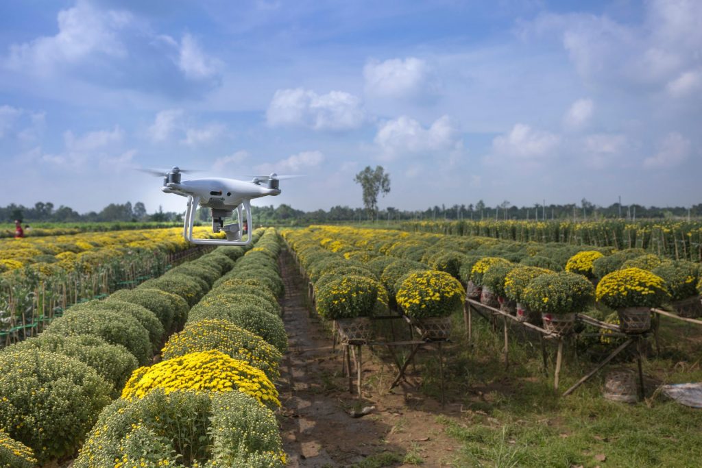
● Drones: unmanned aerial vehicles (UAVs) fly autonomously and capture both LiDAR and imagery from the air.
Advantages and Limitations of Remote Sensing
There are some of the advantages and disadvantages of remote sensing:
Advantages
- Earth observation satellites have a large area coverage combined with frequent acquisition rates (also called revisit times): for example, a single Landsat scene covers an area of 115×115 miles, while the Landsat 7 satellite covers the entire land mass of the Earth every 16 days.
- Data collection occurs in a non-intrusive manner with sensors from a great distance of the Earth;
- Data collection in difficult to access areas, so there is no need to visit the area of interest with manned surveying crews;
- Remote sensing reduces the need for ground-based data acquisition such as surveying;
Limitations and Challenges
- Atmospheric conditions such as haze, clouds, or aerosols can distort or obscure remote sensing imagery.
- The sun angle can create shadows and distortions in remote sensing data, limiting interpretation of the data.
- Acquiring and processing remote sensing comes with high costs, and requires skilled personnel. For smaller areas, other data acquisition methods might be more economical, such as drone-based imaging and/or laser scanning.
- Even with frequent revisit times, it is possible that remote sensing data is not available for a geographical area at a specific timeslot. This means that remote sensing data can have limited usability for a specific use case.
Future Perspectives of Remote Sensing
In the future, remote sensing platforms and sensors will see further miniaturization. Many commercial providers of Earth imagery already use fleets of “smallsats”, also called nanosatellites or miniaturized satellites, often weighing less than 10kg each. It costs significantly less to develop and launch such smaller satellites than traditional satellites, which explains why there are so many of them in orbit simultaneously. Smaller satellites have a significant impact on fuel consumption, mission life, and satellite design.
At the same time, the remote sensing instruments carried by these satellites are getting smaller as well, without compromising on potential and data quality. This leads to new platforms for deploying small remote sensors, including drones, unmanned underwater vehicles, high-altitude pseudo-satellites, and others.
The result of these miniaturization processes results in ever-more quantities of spatial data being captured and analyzed, including both photogrammetric imagery and 3D point clouds. For example, new and smaller single-photon LiDAR technology is used for very large-scale aerial mapping programs that capture aerial imagery and point cloud data of entire countries or continents. This makes it easier to analyze environmental change over larger areas as there is a single dataset instead of many small-scale or incomplete datasets.
Developments in Artificial Intelligence (AI) will have a significant impact in how remote sensing data is processed and analyzed. Large quantities of imagery and point cloud data can be used as input for deep learning models to automate feature detection, recognition, and extraction. So-called data pipelines automate the process of turning earth observation data into insights and information that can be used by analysts, researchers, spatial planners and other stakeholders.
For a comparison of all technical specifications of our LiDAR products, refer to our LiDAR Products Comparison page.
Frequently Asked Questions
What is remote sensing?
Remote sensing means obtaining information about objects or surfaces from a distance and without making physical contact. This is done with aircraft and satellite-based sensor technology sampling electromagnetic radiation from the Earth.
Who invented remote sensing?
The term “remote sensing” was conceived by Evelyn Pruitt, a geographer with the U.S. Office of Naval Research, along with a fellow staff member named Walter Bailey in the early 1960s.
What are the benefits of remote sensing?
Remote sensing allows for systematic data collection of large geographic areas without being obtrusive. The broad coverage enables scientists to study large-scale environmental changes and patterns, such as weather forecasting or environmental pollution.
What is the most common use for remote sensing?
The most common use for remote sensing is for environmental monitoring. These include analyzing and monitoring large-scale changes to the environment, such as deforestation, urbanization, and agriculture.


