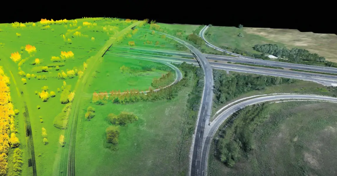
Highway Infrastructure LiDAR mapping survey
Aug 07, 2019

Ventus-Tech surveyed a 47 km-long highway segment in 2018 and produced survey results for the reconstruction of the highway with minimum interruption of the traffic.
The project was conducted by Ventus-Tech using YellowScan Surveyor to collect data along a 47-kilometer segment of the M1 highway (E60, E65, E75) in northwestern Hungary. The data, gathered by 88 UAV flights over one-month, enabled engineers to design a plan to expand the highway from 2+2 lanes to 3+3 lanes.
This video above will describe the steps and lessons learnt during this process.


