Environmental management of wetlands using UAV LiDAR
Jul 16, 2019


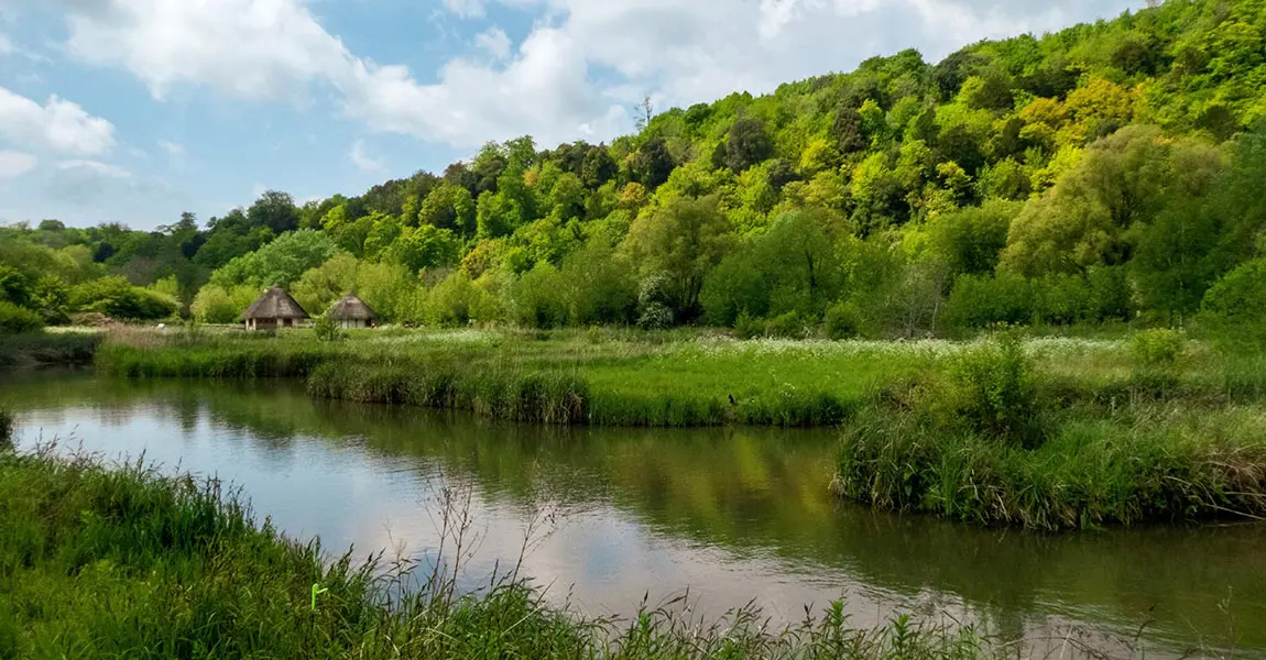
This project is about surveying a bog in harsh environments in an insular forest along the Loire river.
A combination of LiDAR and multispectral imagery was applied over an area of 13 hectares, using a multirotor Fox-C8 OnyxStar drone coupled with YellowScan’s Surveyor LiDAR and two cameras…
To find out more, watch the video above.