Ys success stories catalog energyutilities mockup.png

SUCCESS STORIES

Want to read about our customers real-world case studies?

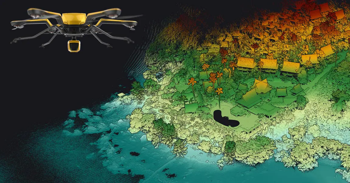
Discover how our solutions can help generate accurate and cost effective aerial imagery using lightweight UAV LiDAR solutions.

Download catalog

Need help with your LiDAR project?

Let’s talk! Our team of experts can help you clarify your needs and propose the most suitable solutions for you to successfully complete your mission.

Using LiDAR for Energy & Utilities.

Reduce risks and costs in energy & utilities management.

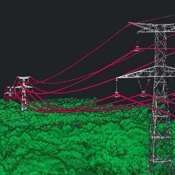
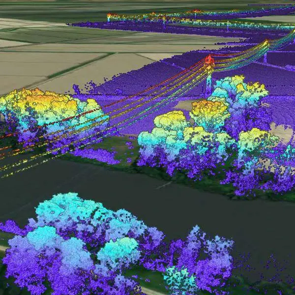
Our LiDAR solutions are the most efficient tools for acquiring highly accurate, dense data in energy and utilities applications.

Key figures Test

Knowledge base

Discover our solutions by reading about our users’ experience in the field.

View all articles

Knowledge 20240702
LiDAR vs Photogrammetry: Key Differences and Applications

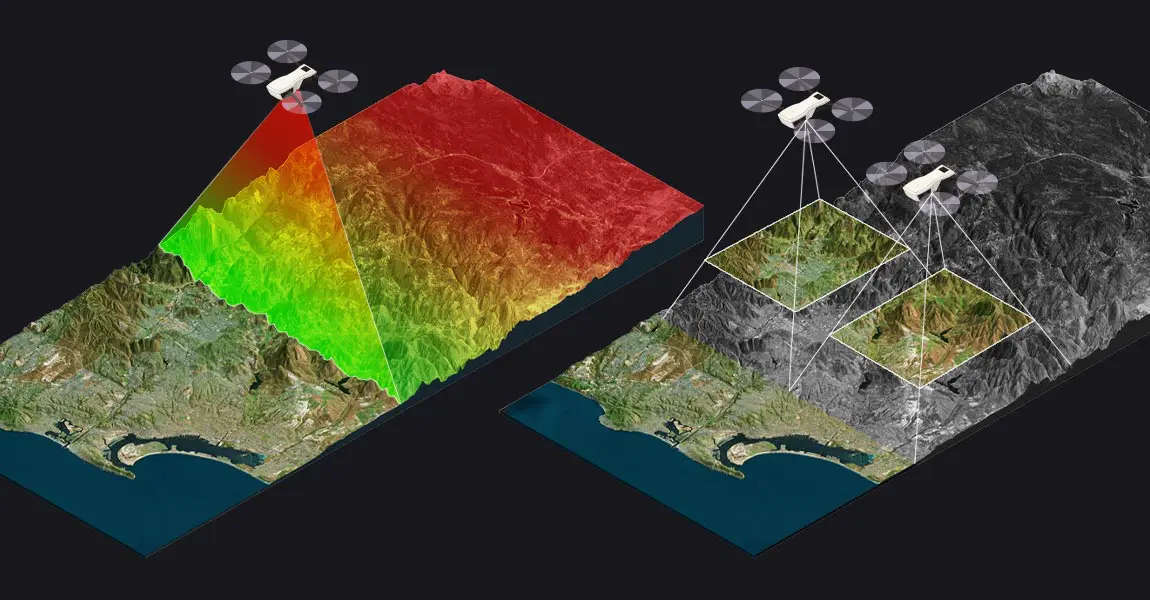
This article compares two popular technologies for creating 3D models and maps: photogrammetry and LiDAR. The focus lies on key differences between both: how they work, the different outputs created for each, and popular use cases. The article finishes with a discussion of why investing in LiDAR can be a better choice, despite higher costs.

LiDAR point clouds basics
LiDAR Point Cloud Basics

This article explains what LiDAR point clouds are and how they are used for 3D mapping applications. Learn the basics of LiDAR point clouds!

Knowledge 20240430
Understanding LiDAR Scanners

LiDAR scanners are used for capturing 3D point clouds. But how do they work? This and more are explained in the article below, which covers the operating principle of different LiDAR scanners and explains how distance measurements are transformed and combined into 3D point clouds. These provide the basis for many 3D mapping products used for different industry applications.

Knowledge 20240306
Drone Flight Planners: The Continuing Integration of LiDAR & UAVs

A LiDAR drone is an unmanned aerial vehicle (UAV) equipped with Light Detection and Ranging (LiDAR) sensors. A LiDAR is an active sensor that uses inertial measurement to correlate where it is on the earth’s surface, resulting in a direct measurement of the earth.

Knowledge 20240214
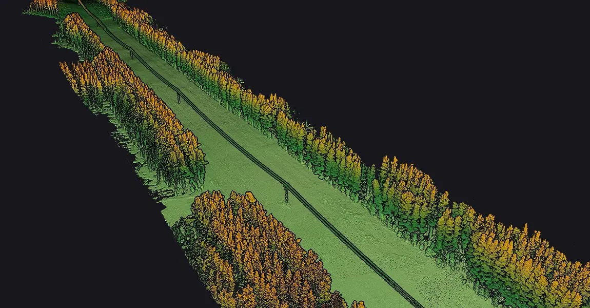
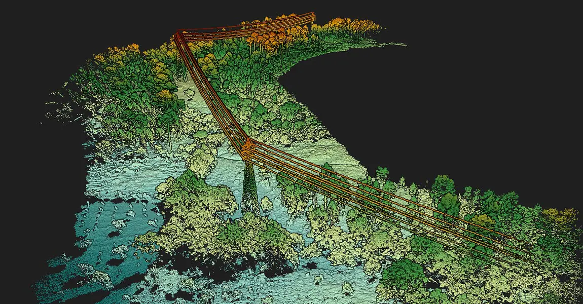
LiDAR for Power Utility Vegetation Management

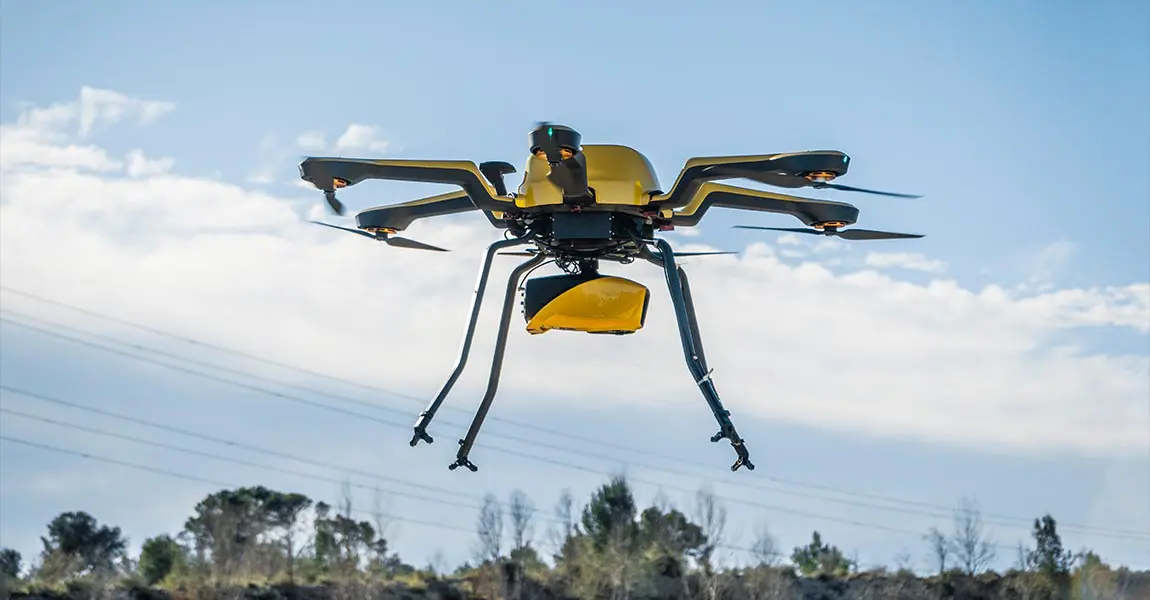
Carbonix, a leading manufacturer of commercial UAVs in Australia, became involved in a significant project when approached by an Australian power network seeking solutions for scanning their transmission and distribution lines in challenging, undulating terrain. They reached out to Carbonix to see if they had a system and sensor combination that could effectively meet their brief.

Navigator-picture-banner-press-release
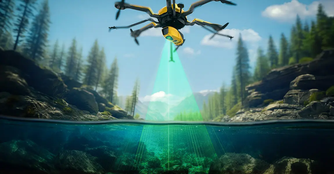
Does LiDAR work underwater?

How does laser scanning work underwater? How can a laser penetrate water? Discover this innovative technique for marine surveys and research.

Knowledge 20230821
Using LiDAR Technology to Create the Digital Twin of a Telecommunications Tower

Discover how a customer created the digital twin of a telecommunications tower in order to perform line of sight and radio frequency simulation analysis.

Knowledge 20230712
How LiDAR Technology Revolutionizes Electrical Line Surveys in Canada

Our client, CIMA+, a renowned multidisciplinary company based in Canada, specializes in engineering, project management, and consulting services across various sectors. They were commissioned to conduct surveys of electrical powerlines.

Knowledge 20220222
Powerline Management & Smart Grid Security – Portuguese DSO, E-REDES

The stated objective was to produce LiDAR data that would ensure safety in the power line corridor by detecting dangerous vegetation.

Knowledge 20200528
Drone LiDAR mapping for Power grid design and maintenance in Finland

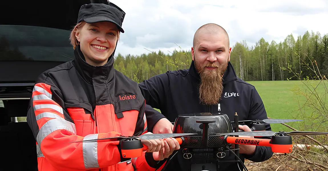
Eltel, a Nordic field service provider for power and communication networks, conducted in 2019 a pilot study with Loiste a Finland-based energy company.

Knowledge 20200127
LiDAR remaps Diamond Vista Wind Farm in Tornado Alley : Saves $1M

Discover how Juniper reduced post-processing time to 3 days using YellwScan solution while it takes up to 42 days with a traditional survey.

Powerline-monitoring-using-lidar
Powerline Monitoring Using LiDAR
Nov 23, 2021 52 min

Key benefits

YellowScan LiDAR systems generate accurate and cost effective aerial imagery using lightweight UAV LiDAR solutions.

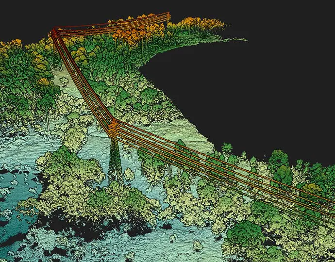
Vegetation encroachment

The only technology that gives the true distance to the vegetation in near real-time. Scan fast-growing vegetation sections as often as needed.
Industries energy scan

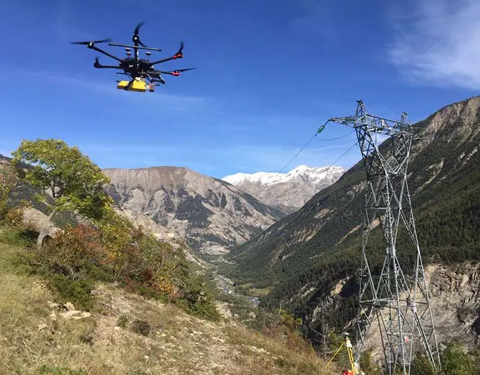
Optimized maintenance operations

Ideal for surveying limited sections of the network which has not/can’t be scanned with airborne LiDAR (leftovers, hard-to-access, fast-growing vegetation sections…)
Industries energy maintenance

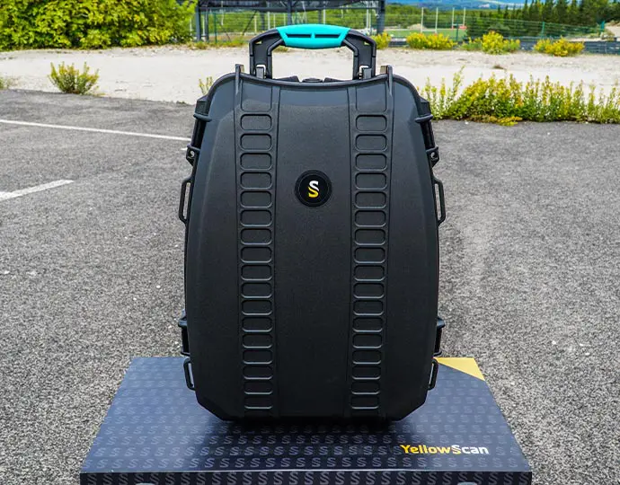
Low mobilization and demobilization

Easy to deploy and cost-effective tools for mapping areas of interest.
690x540 pelicase front

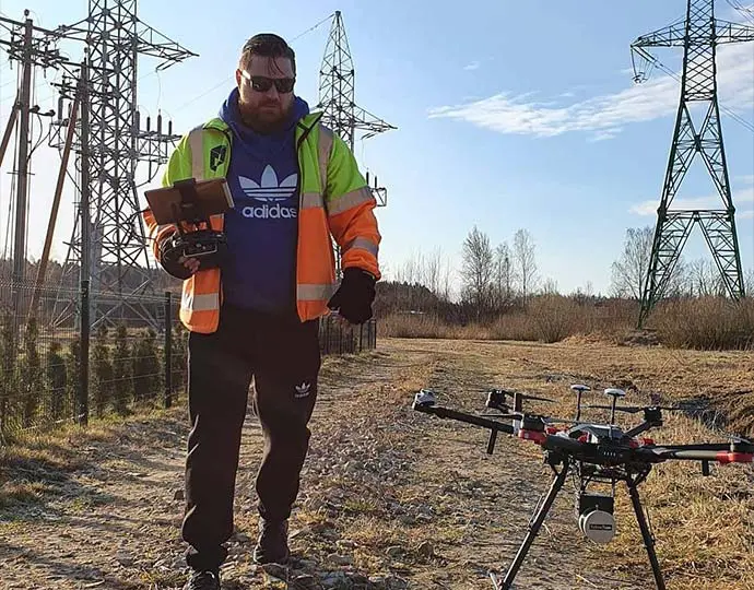
Security

YellowScan systems allow for quick & complete acquisition while eliminating manned airborne or on-the-ground logistics

Industries energy security