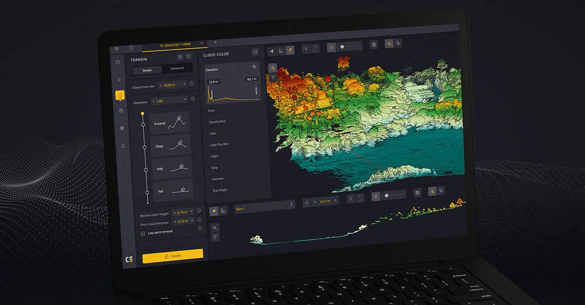
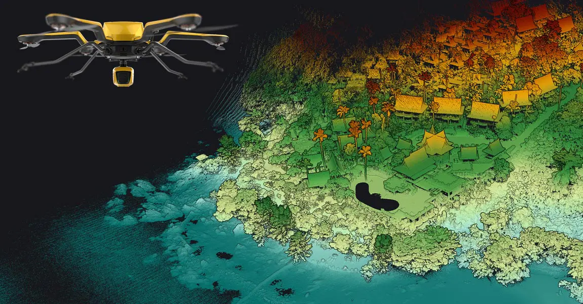
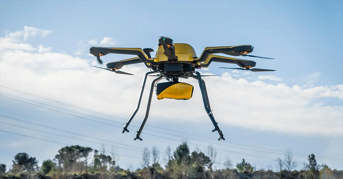
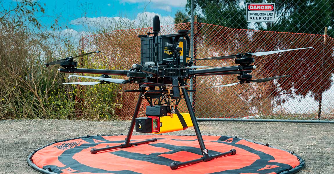
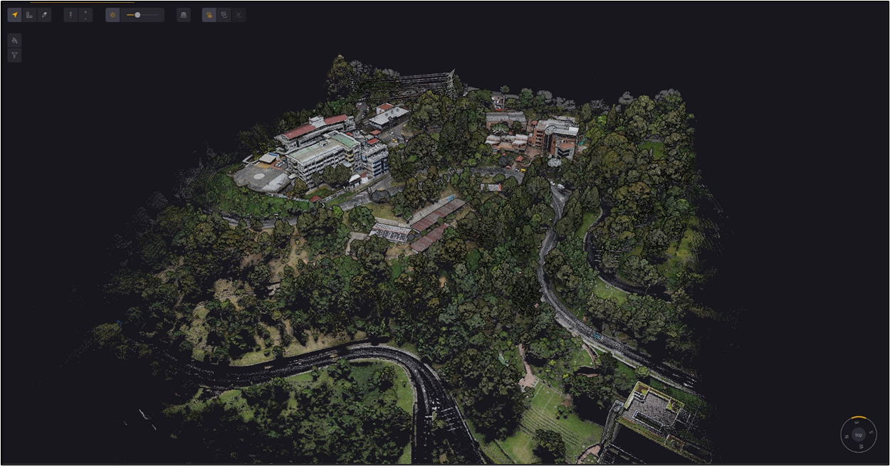
Ys success stories catalog constructionengineering mockup.png

SUCCESS STORIES

Want to read about our customers real-world case studies?

Discover why our YellowScan LiDAR solutions are the best tools for high-accuracy and high-resolution 3D data collection.

Download catalog

Need help with your LiDAR project?

Let’s talk! Our team of experts can help you clarify your needs and propose the most suitable solutions for you to successfully complete your mission.

Using LiDAR for Construction & Engineering.

Contribute to the smart cities of the future.

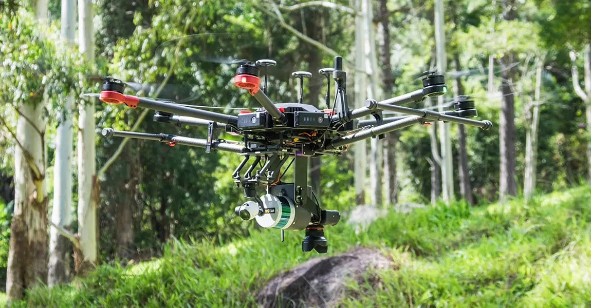
From the initial planning stages to the final project delivery, LiDAR systems are an asset to the architecture, engineering and construction (AEC) industry.

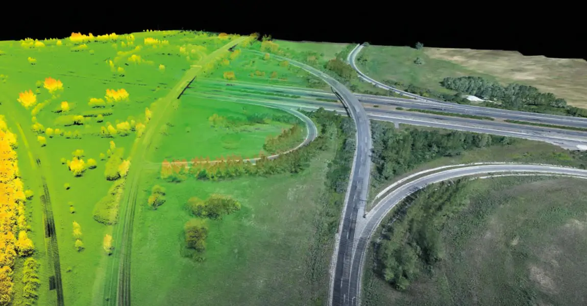
Construction companies and civil engineers use UAV LiDAR solutions in diverse projects to create Digital Terrain Models (DTM), Digital Surface Models (DSM) or Digital Elevation Models (DEM).

Key figures Test

Knowledge base

Discover our solutions by reading about our users’ experience in the field.

View all articles

Knowledge 20240702
LiDAR vs Photogrammetry: Key Differences and Applications

This article compares two popular technologies for creating 3D models and maps: photogrammetry and LiDAR. The focus lies on key differences between both: how they work, the different outputs created for each, and popular use cases. The article finishes with a discussion of why investing in LiDAR can be a better choice, despite higher costs.

LiDAR point clouds basics
LiDAR Point Cloud Basics

This article explains what LiDAR point clouds are and how they are used for 3D mapping applications. Learn the basics of LiDAR point clouds!

Knowledge 20240430
Understanding LiDAR Scanners

LiDAR scanners are used for capturing 3D point clouds. But how do they work? This and more are explained in the article below, which covers the operating principle of different LiDAR scanners and explains how distance measurements are transformed and combined into 3D point clouds. These provide the basis for many 3D mapping products used for different industry applications.

Knowledge 20240306
Drone Flight Planners: The Continuing Integration of LiDAR & UAVs

A LiDAR drone is an unmanned aerial vehicle (UAV) equipped with Light Detection and Ranging (LiDAR) sensors. A LiDAR is an active sensor that uses inertial measurement to correlate where it is on the earth’s surface, resulting in a direct measurement of the earth.

Acquiring-ground-topography-data-efficiently-withUAV-LIDAR
Acquiring ground topography data efficiently with UAV LiDAR

In recent years, advancements in unmanned aerial vehicle (UAV) technology have enabled the collection of accurate and rapid data for various applications. One such application is ground topography determination, crucial for a range of fields such as agriculture, urban planning, and environmental monitoring.

Navigator-picture-banner-press-release
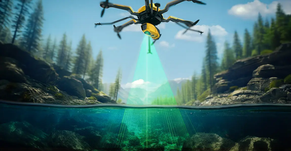
Does LiDAR work underwater?

How does laser scanning work underwater? How can a laser penetrate water? Discover this innovative technique for marine surveys and research.

Knowledge 20221207
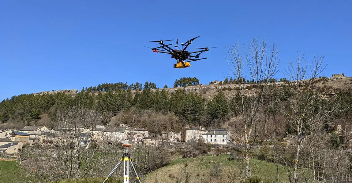
Risk assessment of rockfall hazards on road networks.

L’Avion Jaune were mandated by the Departmental Council to conduct a risk assessment study of rockfall hazards on their road networks.

Knowledge 20221012
Building the digital twin of the Chain Bridge in Budapest

This LiDAR project, led by our customer Ventus-Tech, aimed to establish a baseline & record the status of the Chain Bridge in Budapest

Knowledge 20220531
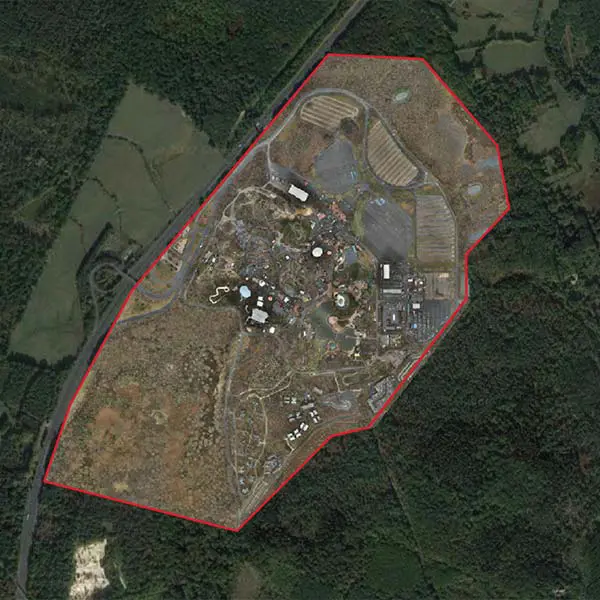
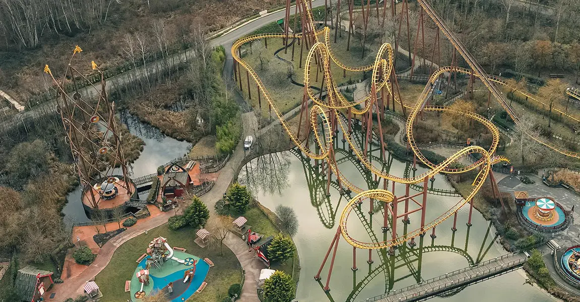
High-Resolution Topographic Data for Theme Park Expansion

Discover how Drone Expertise Centre produced highly accurate topographic data of the Parc Astérix theme park in France.

Knowledge 20201124 2
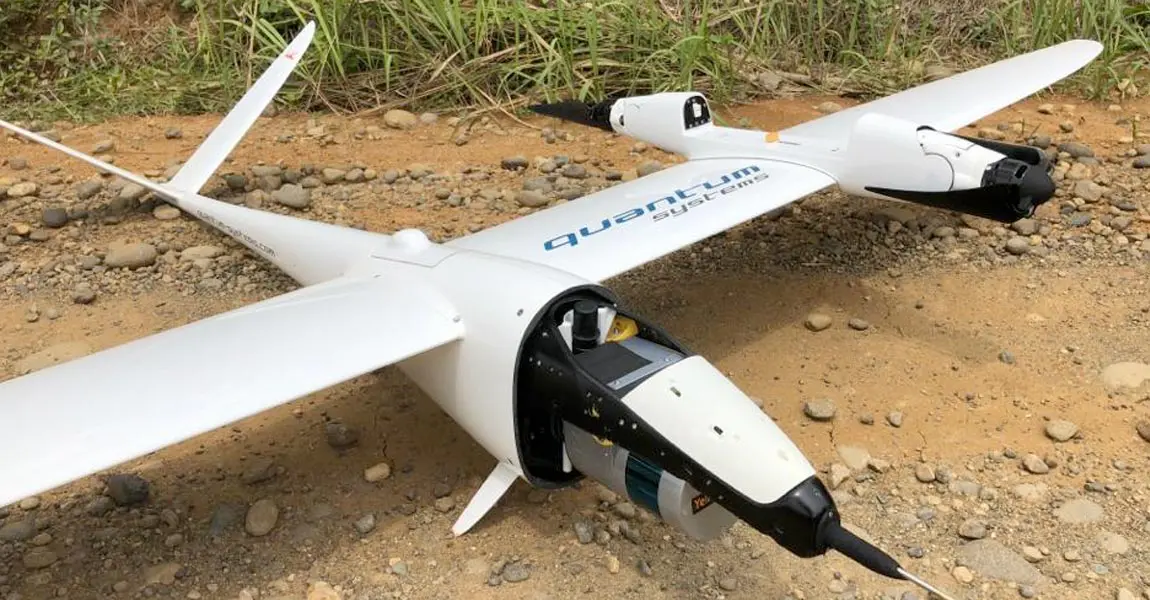
VTOL fixed-wing UAV mounted-LiDAR maps 2200km for Trans-Sumatra highway construction in Indonesia

Hutama Karya, a state-owned company building infrastructures, has been assigned to toll-road construction, on Sumatra island.

Knowledge 20200921
How Diodrone overcame geotechnical engineering challenges in Australia for a 170km long rural road monitoring

Discover how YellowScan solutions helped Diodrone to collect high quality of data covering an area of 400ha of mountainous terrain.

Knowledge 20200513
YellowScan Vx-15 Makes European Start-Up a Major Player in Indonesia

Discover how flying LiDAR gives French company a competitive edge for Bali civil engineering and mining surveys.

Knowledge 20200127
LiDAR remaps Diamond Vista Wind Farm in Tornado Alley : Saves $1M

Discover how Juniper reduced post-processing time to 3 days using YellwScan solution while it takes up to 42 days with a traditional survey.

Knowledge 20200127 2
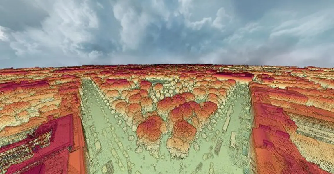
Mapping Major Cities with LiDAR: The Future is Here

Drone-mounted and airborne LiDAR are changing the way architects, city planners and construction surveyors map the world’s major cities.

Knowledge video 20190807
Image-30.png
Straight to the Point – LiDAR Application: Verification of Vegetation Cover and Building Inventory
Nov 07, 2024 30 min

Key benefits

YellowScan LiDAR systems offer high-accuracy and high-resolution 3D data collection and provide quick access to urban landscapes.

The pointclouds produced enable the creation of BIM models (Building Information Modeling) which contribute to the decision making and the real-time quality control of the construction.

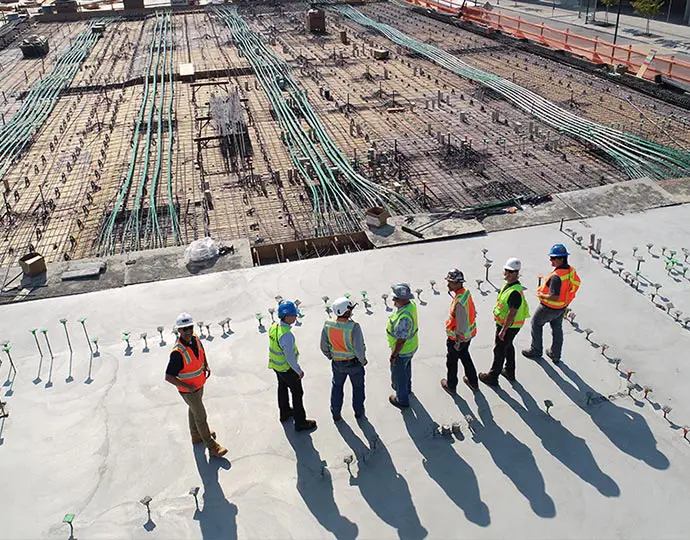
Ensure proper planning and decision making

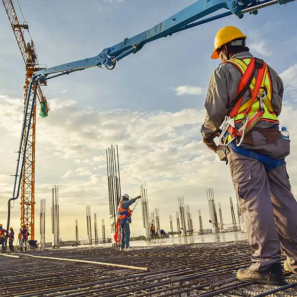
Record conditions at any stage of the construction project and oversee earthwork planning (quantity survey, mass excavation and structural excavation)
Industries construction planning

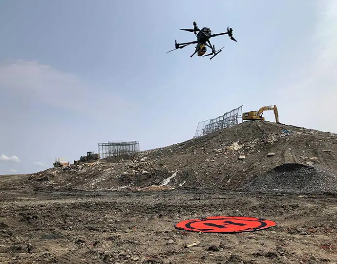
Optimized operations

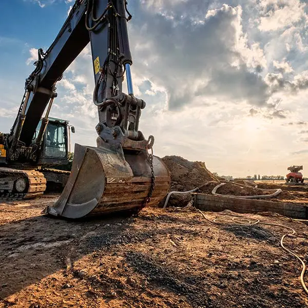
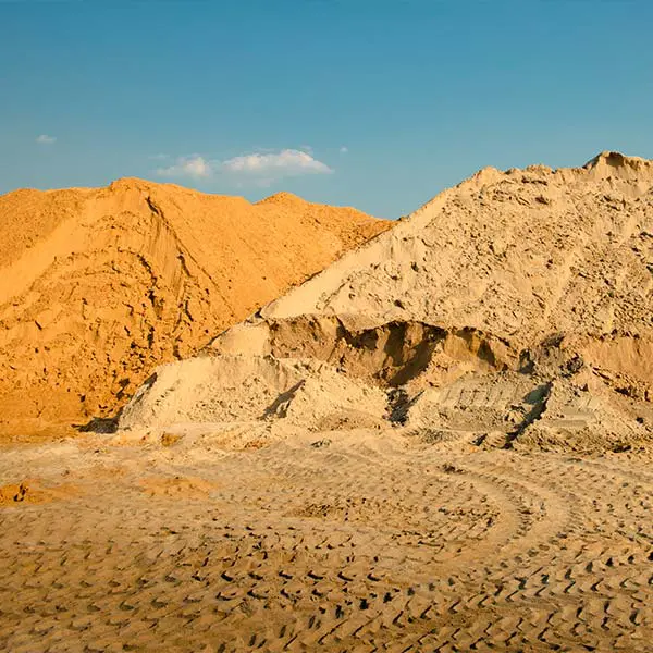
Get the data you need to manage your day-to-day raw material stock, cut & fill volumes, site arrangements and work out the construction materials needed.
Industries construction operation-1

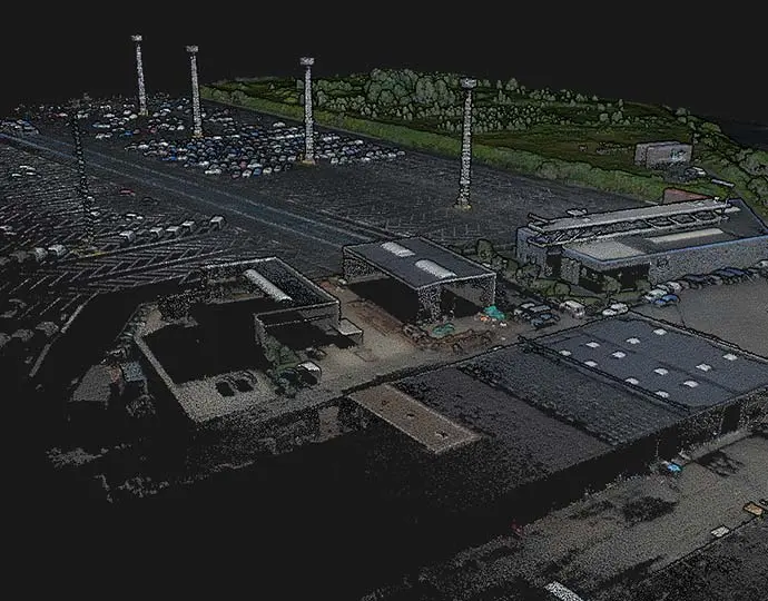
Modeling and analysis

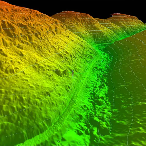
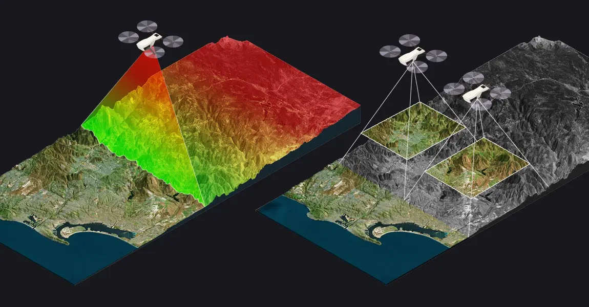
Our system can generate detailed 3D data that depicts the terrain and construction progress to be incorporated into a CAD/GIS system. This will help you monitor and anticipate construction impacts
Industries construction progress

Rugged & Reliable

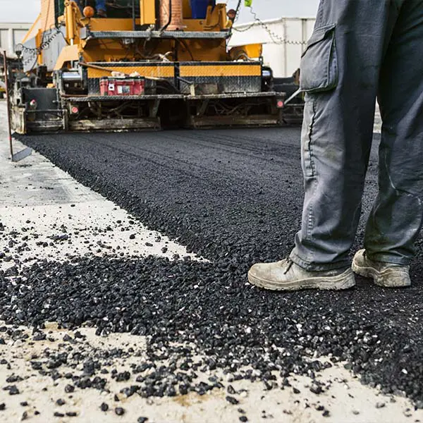
UAV LiDAR mapping offers a wealth of data and cuts costs. Our 3D mapping solutions can help you with earthworks, project planning and infrastructure optimizations.
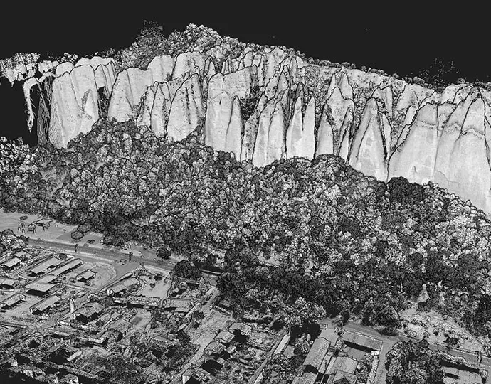
Industries construction reliable

Reduce human risks

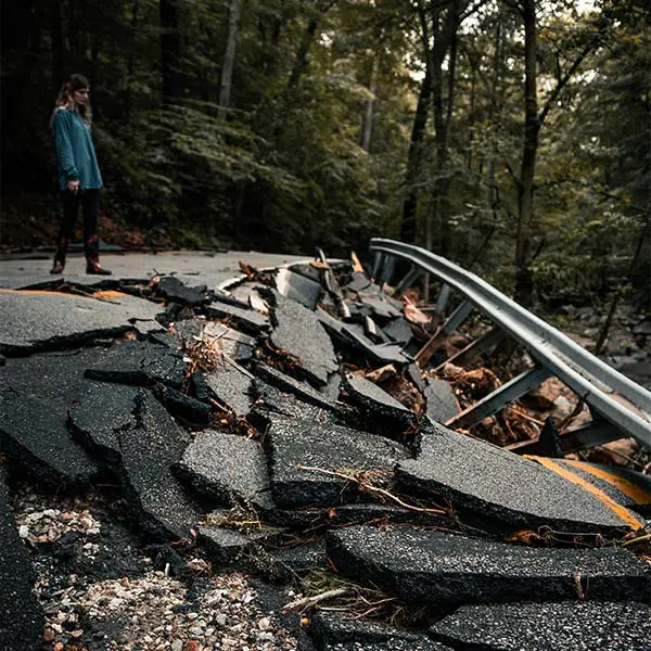
Our systems will allow you to map an entire project, while eliminating on-the-ground logistics and dangers
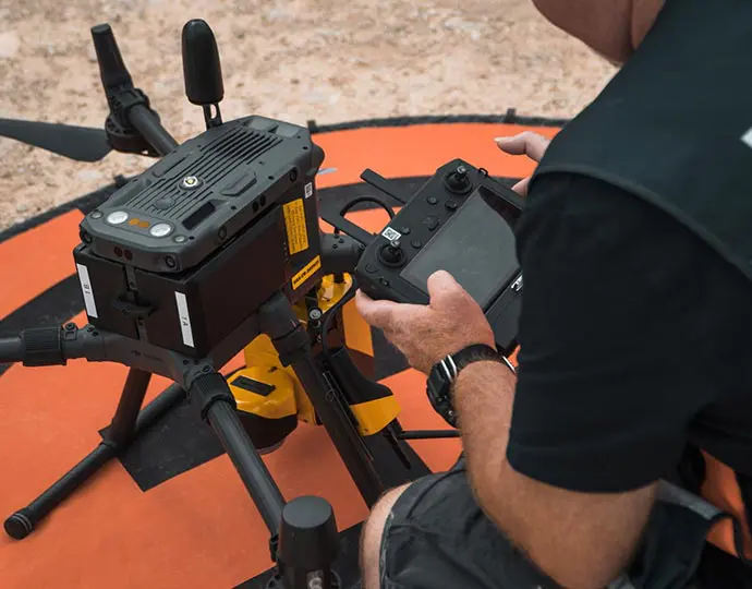
Industries construction risks