How Digital Terrain Models Helped Find Archaeological Features Under Vegetation
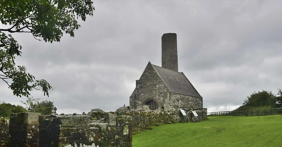
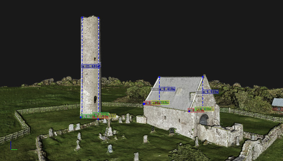
GeoAerospace, an Irish geospatial Data-as-a-Service provider, was contracted to provide high density LiDAR and high resolution orthophotography maps of Holy Island, a historic monastery on an island in Lough Derg, Ireland. The final data would become part of an archaeological assessment of the monastery.
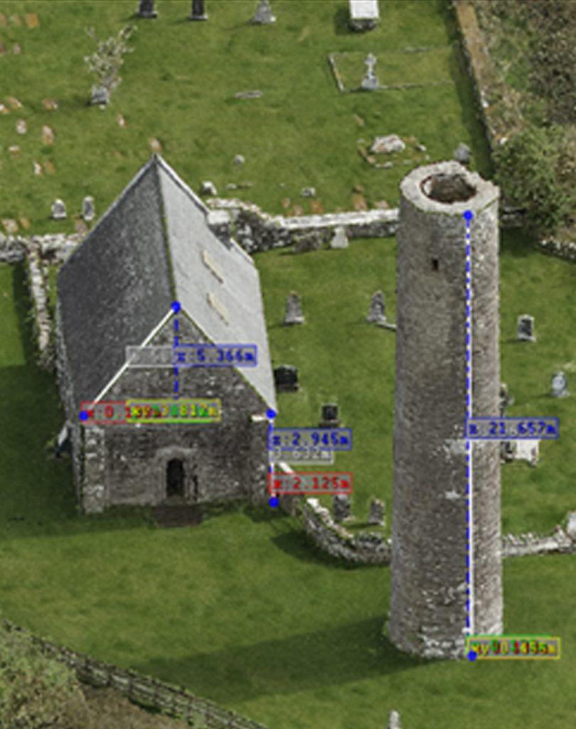
Digital Replica of Holy Island mission,
© GeoAerospace 2021
What is the challenge?
Gaining access for a survey team and associated equipment to survey the island was a challenge, so aerial surveys were preferred in this case. Using remote sensing drone technology reduced any requirement to set foot on the island and enabled the aerial survey to be completed safely from the mainland.
Solution
Typically, this type of archaeological survey is carried out by ‘boots on the ground’ i.e., surveyors & engineers travelling to the island by boat and surveying the landscape and buildings using traditional methods. The project could have been done with photogrammetry alone, but a Digital Terrain Model was required to penetrate the vegetation and help identify any archaeological features under the canopy, so LiDAR was the preferred method for this site.
Mission Parameters
To carry out a LiDAR survey of Holy Island (known as Inis Cealtra in Gaelic), Ireland. The minimum requirements were 8ppm and a 50cm DTM and DSM. GeoAerospace delivered 10cm DTM & DSM, point cloud with up to 250ppm and 2cm GSD orthophoto.
- 50ha survey area (island)
- 0.5 day planning (risk assessments/flight planning etc.)
- 1hr 40mins on site (40mins LiDAR / 1hr RGB)
- 2 flights (1 RGB & 1 LiDAR flight)
- Altitude: 70m – Overlap: 50% – Swath width: 40m
- FOV: 60-degree (30 degrees off Nadir)
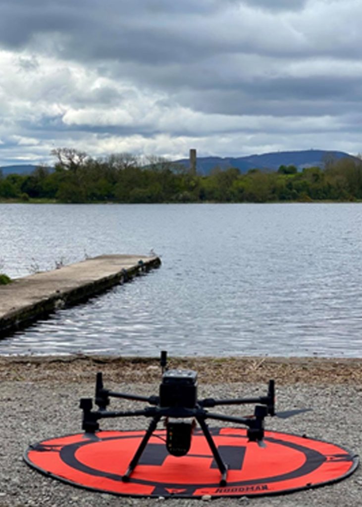
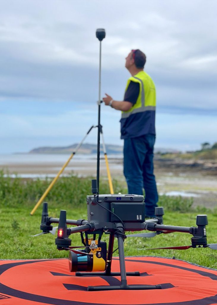
- DJI M300 with Yellowscan Surveyor Ultra and M300 with P1 (45mp) RGB sensor
Acquisition
The speed at which the Surveyor Ultra enables high quality data acquisition over inaccessible sites, allows the drone team to capture multiple sites in a single day. Historically, this type of survey work could take days to complete but with advanced aerial sensors like the Surveyor Ultra, time on site is significantly reduced. In this case of this particular 50-hectare site, the drone team were on site for less than 2hrs between set up, data acquisition and shut down. Not only does this rapid acquisition enable companies increase operational efficiency, but it also allows public sites to remain open, or to reopen quickly should they have to close during the survey.
Results
With the support of the Yellowscan tech team, GeoAerospace greatly improved their approach to data collection, using the Yellowscan Surveyor Ultra.
Benefits of Surveyor Ultra
- 360° Field of View, ideal for vertical mapping
- Productivity solution optimized for VTOL fixed-wing
- Suitable for mobile mapping with YellowScan
- Fly&Drive
- High point-density
- Low-weight
- Turn-key: simple to operate and self-powered
- Can be mounted quickly on most UAV’s
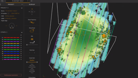
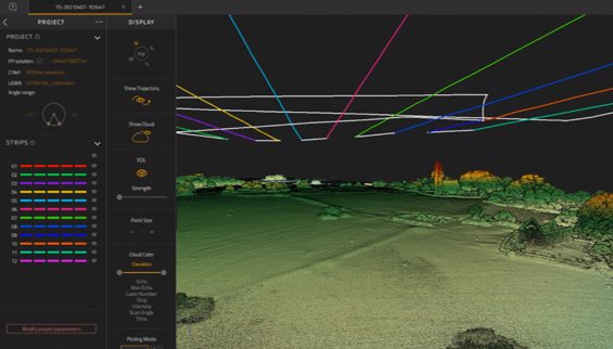
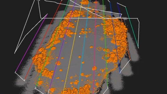
Working with the Yellowscan support team allowed us to greatly improve our data acquisition and processing workflows. Through the course of a number of projects, we have validated the Yellowscan Surveyor Ultra data by measuring against high quality terrestrial scanner data. This showed accuracies in x, y and z of +/-5cm and has allowed us to stand over the quality of our data, which is critical to meeting our client requirements.

Fearghus Folye
CEO, GeoAerospace
Note: The Yellowscan Surveyor Ultra was purchased by Maynooth University as part of NATDaP, a Science Foundation Ireland funded Research Infrastructure programme (18/RI/5810).
