Using LiDAR for bathymetry.
Reveal underwater landscapes with precision mapping.

Need help with your LiDAR project?
Let’s talk! Our team of experts can help you clarify your needs and propose the most suitable solutions for you to successfully complete your mission.
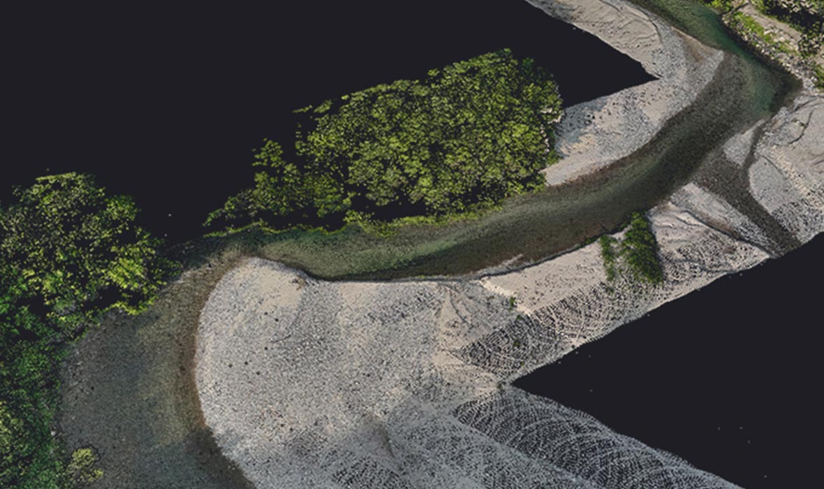
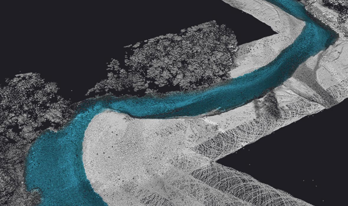
Bathymetric LiDAR, which uses visible green light to measure underwater topography, enables seamless mapping of coastlines above and below the water. This technology has become a go-to method for accurate bathymetric surveys, as aerial LiDAR can penetrate water to capture detailed data of the seafloor and riverbeds.


A variety of mission profiles


Detailed topographic models
Calculate accurate underwater terrain models, map riverbeds, and assess sedimentation with high precision.

Freedom of surveying
Aerial LiDAR surveys offer flexibility and can cover large areas quickly, making them ideal for coastal and inland waterway surveys.

Extreme shallow-water capability
Map shore areas up to a few centimeters’ depth, without draught or swath limitation.

Marine ecosystem monitoring
Track and monitor marine environments for early detection of changes in aquatic habitats.

Increased productivity
LiDAR data processing is faster and more efficient than traditional methods like echo sounding and land surveying. The survey is continuous and consistent between land and water.

High-density point clouds
Our LiDAR systems deliver dense and localized data points, even in turbid waters.

Rugged & reliable
YellowScan systems are built to withstand harsh marine environments, including saltwater exposure, temperature fluctuations, and high humidity.
