Using LiDAR for Archeology.
Unearth hidden gems.
Need help with your LiDAR project?
Let’s talk! Our team of experts can help you clarify your needs and propose the most suitable solutions for you to successfully complete your mission.
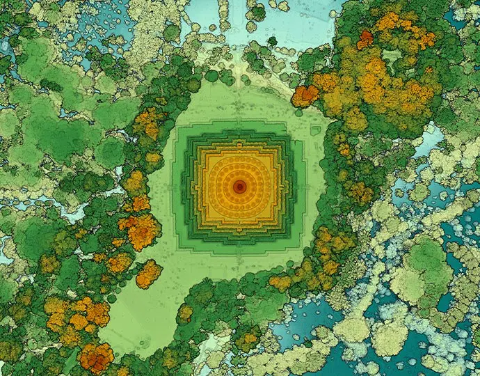
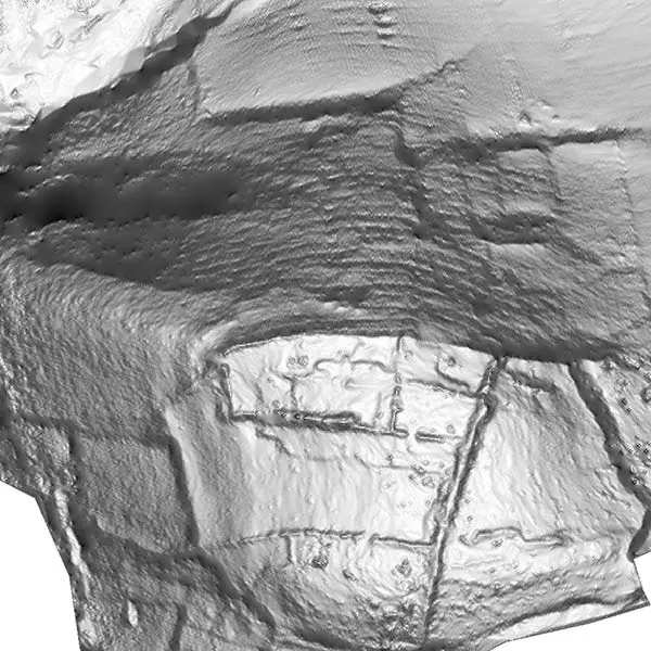
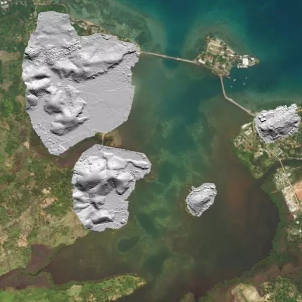
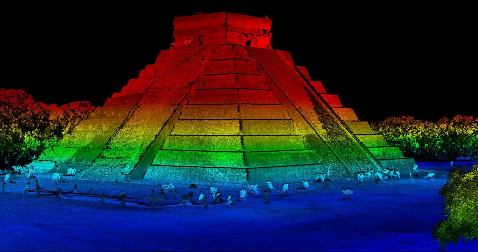
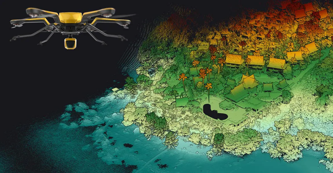
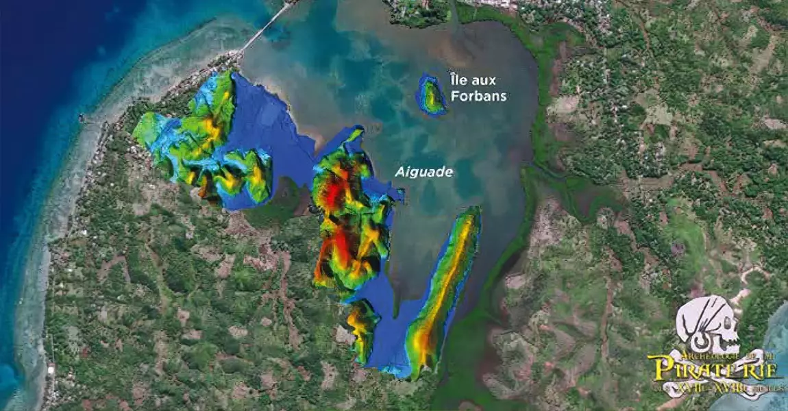
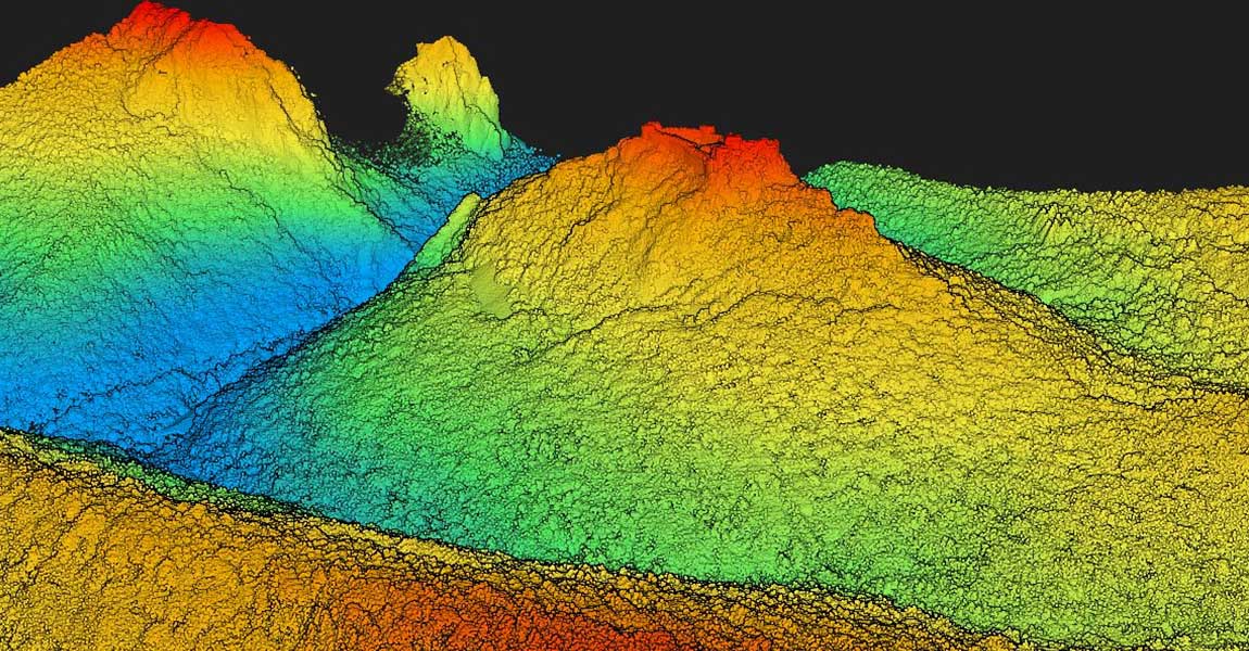
LiDAR technology has changed the face of archeology by making it possible to measure and map detailed landscapes that would otherwise remain hidden under centuries of vegetation.
But it doesn’t just reveal what is hidden: it can also document what has already been found.
It has transformed how researchers and archeologists approach unsurveyed land.
Archeology
LiDAR applications
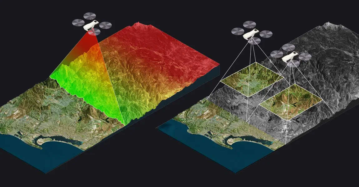
When compared to a traditional archeological excavation, creating DEM with a YellowScan LiDAR system is faster and less costly. Scan up to
1000ha* of land a day
*2500 acres
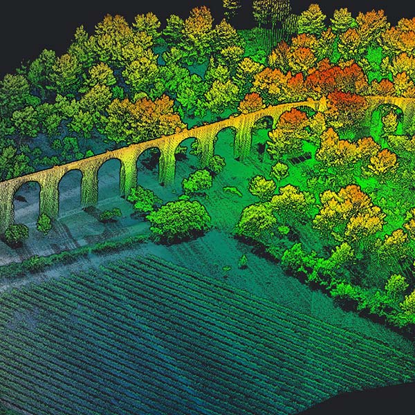
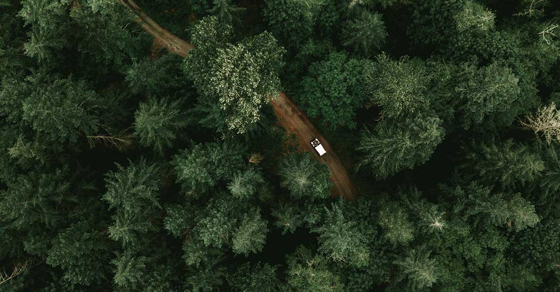
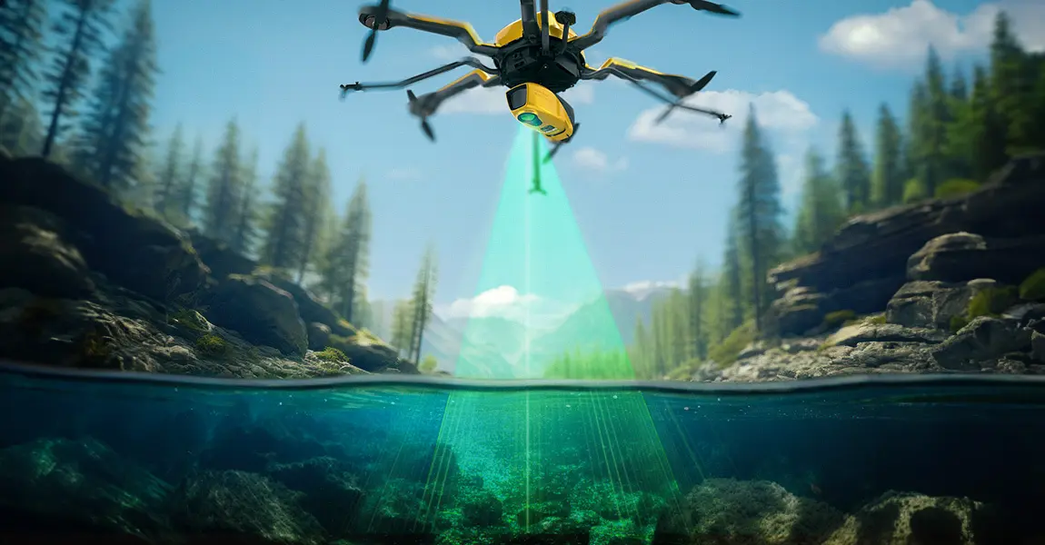
Scan through vegetation
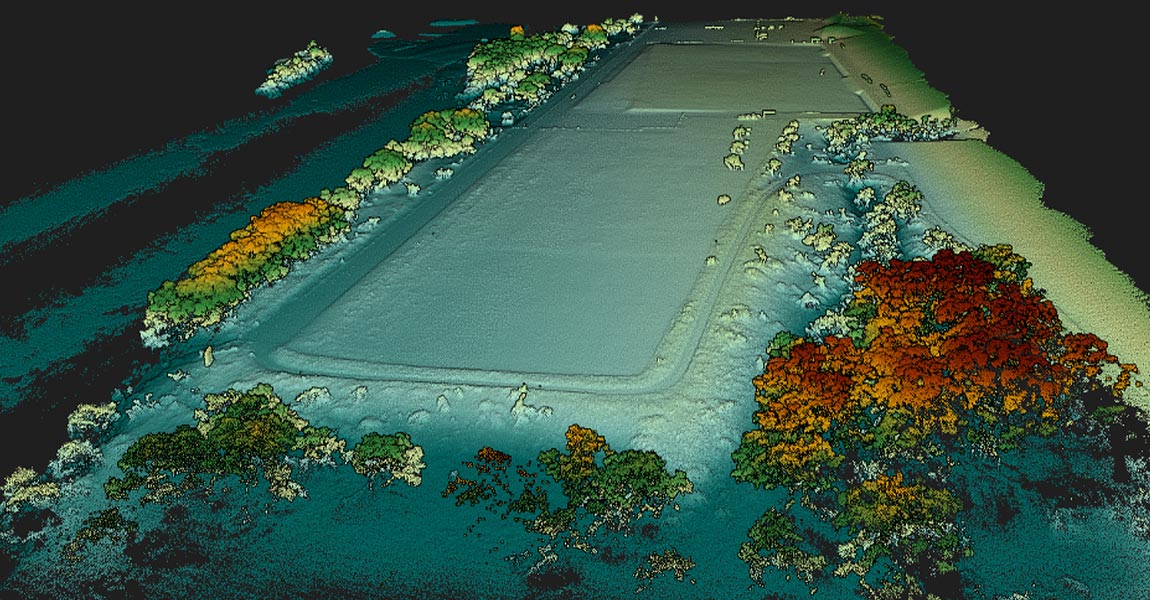
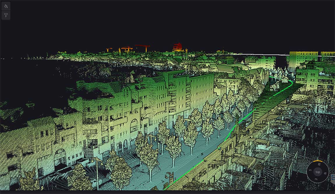
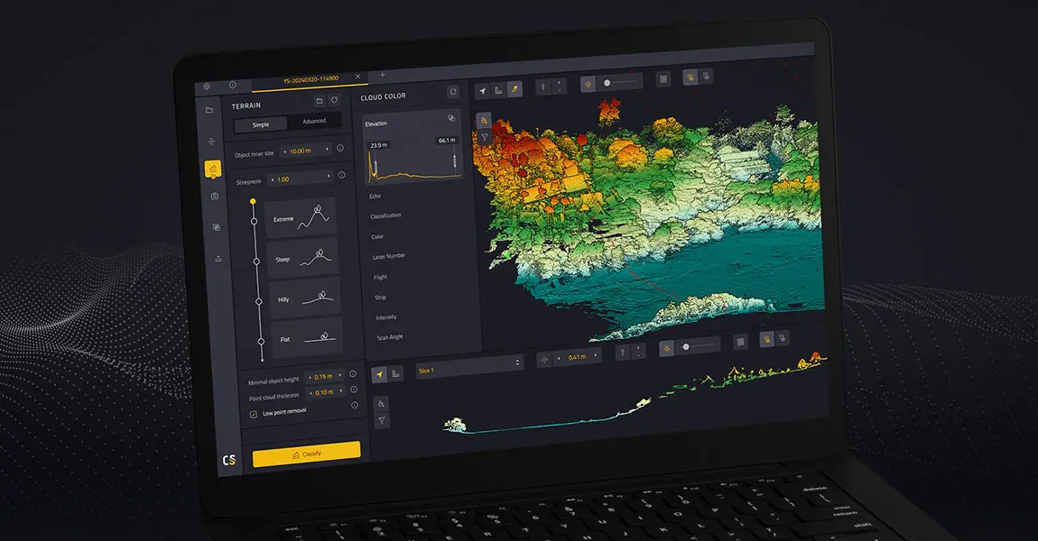
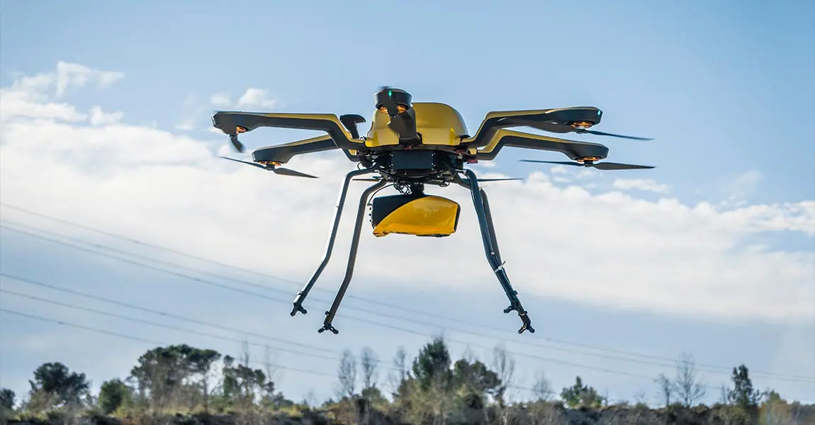
Our lightweight and easy-to-use LiDAR systems enable quick, accurate 3D surveying even through forests.
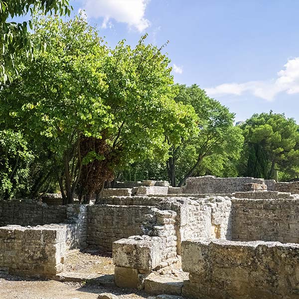
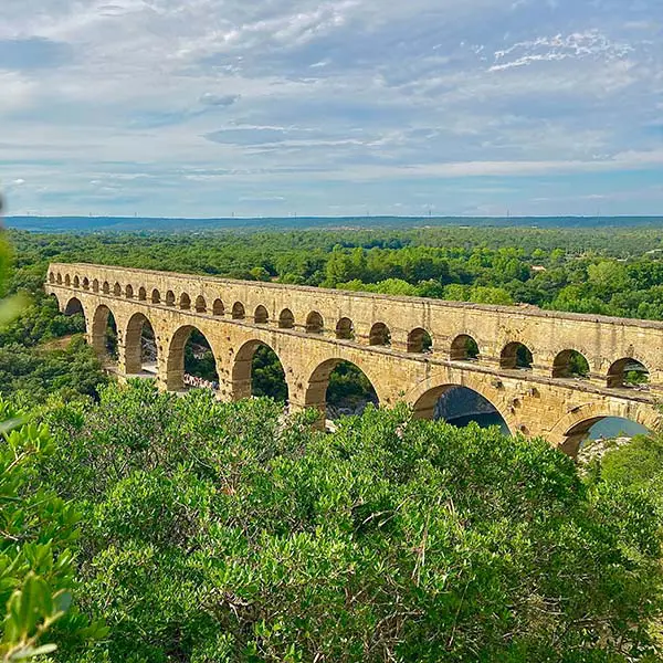
Discover ancient human societies
Gain a better understanding of historical landscapes and their past uses by ancient civilizations.
Uncover the undiscovered
Find previously unseen items or ruins in sites that have already been searched.
