YellowScan et Delair annoncent une nouvelle intégration avec le YellowScan Voyager
Première mondiale au salon INTERGEO 2024 à Stuttgart.
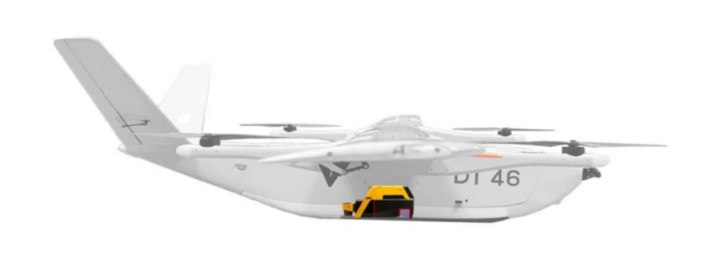
Le fabricant de drones DELAIR et le spécialiste du LiDAR YellowScan dévoilent le drone LiDAR DT46 : le premier drone à voilure fixe permettant des inspections à longue distance et la production de jumeaux numériques de haute précision.
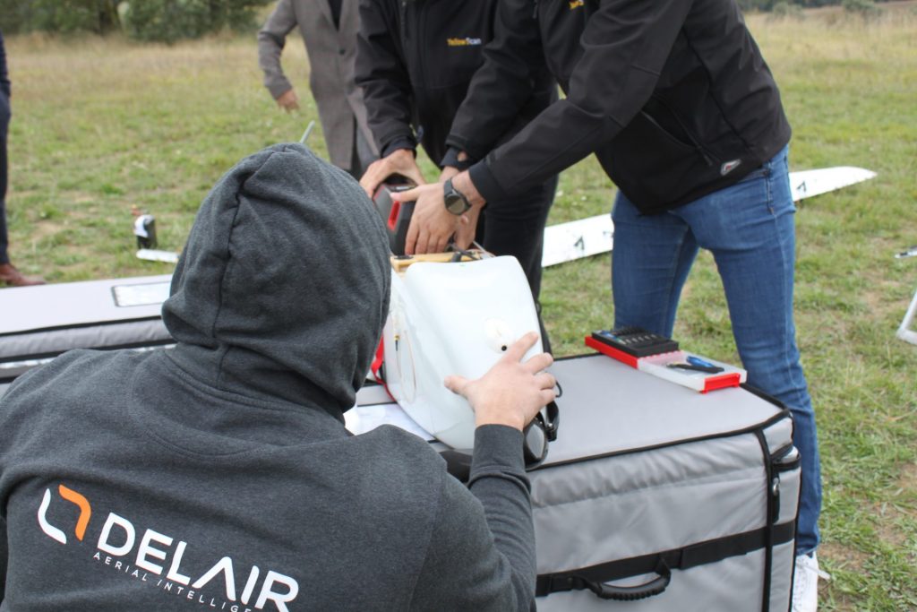
13 septembreeMontpellier – Le fabricant de drones toulousain DELAIR intègre le YellowScan Voyager LiDAR, un scanner laser haute performance couplé à une caméra RVB haute résolution, dans le DT46, le dernier modèle de sa gamme de drones, développé par la PME montpelliéraine YellowScan.
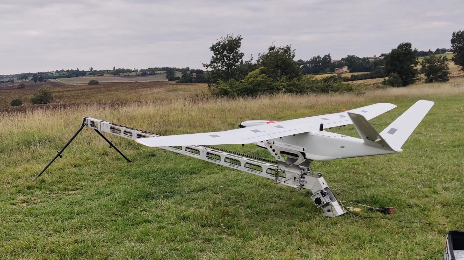
DELAIR DT46: Le drone VTOL à très longue portée, dernier né de la gamme Delair
- Jusqu’à 300 km parcourus par vol, selon le mode de décollage utilisé (Vtol ou catapulte)
- Transportable dans un pick-up et déployable en moins de 15 minutes sans outils
- Portée de communication de plus de 100 km
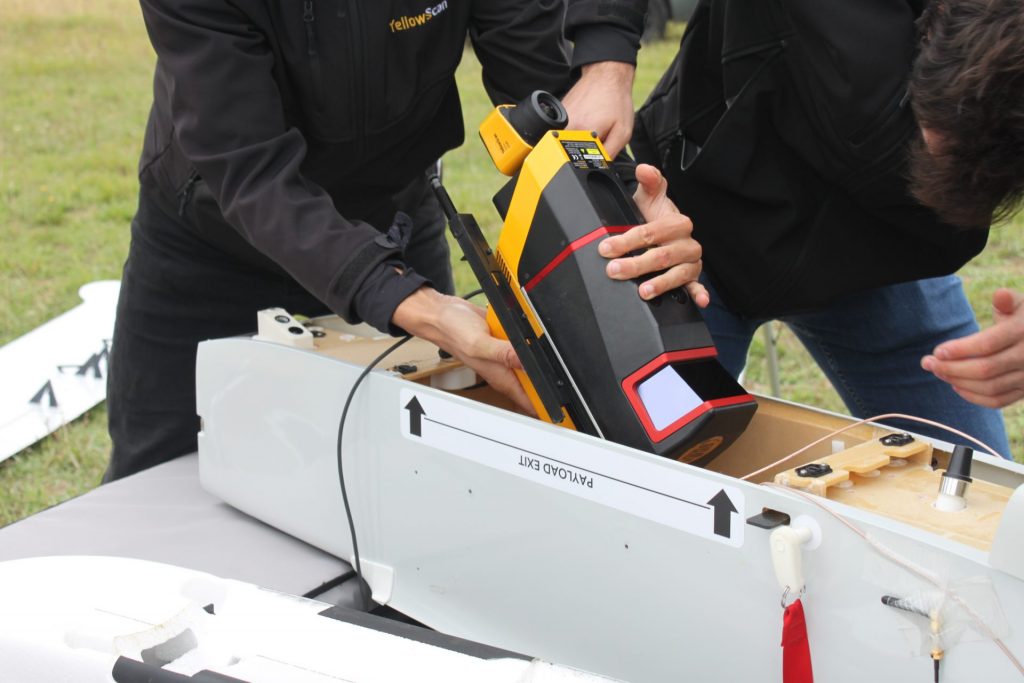
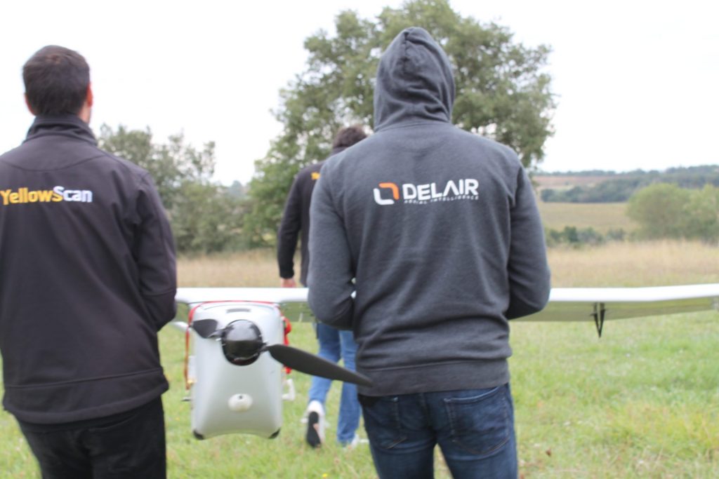
Le YellowScan Voyager : Un outil de haute précision
Le YellowScan Voyager se distingue par sa capacité à capturer des données avec une précision exceptionnelle. Équipé d’un scanner laser avec un champ de vision de 100° et un taux d’acquisition allant jusqu’à 2400 kHz, il offre une densité de points optimale pour les projets exigeants.
« Précision, haute efficacité, excellente rentabilité – nous sommes très heureux d’intégrer le système LiDAR YellowScan Voyager dans notre drone DT46 et d’offrir des résultats quasi réalistes et des détails de haute intensité inégalés », déclare Bastien MANCINI, président de DELAIR.
« Avec sa longue endurance, sa capacité de charge, sa facilité d’utilisation et sa robustesse, le DT46 LiDAR va révolutionner les missions d’inspection des infrastructures industrielles et les levés topographiques « , ajoute Michel ASSENBAUM, président de YellowScan.
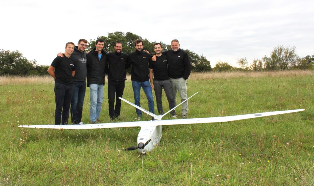
Un travail d’équipe réussi
Les deux entreprises de la région Occitanie associent leur expertise pour proposer une solution complète et autonome capable de réaliser des inspections et cartographies précises sur de longues distances, depuis l’acquisition des données par le drone jusqu’à leur traitement.
Découvrez plus d’informations sur Delair ici : delair.aero
