Ys success stories catalog environmental research mockup.png

SUCCESS STORIES

Want to read about our customers real-world case studies?

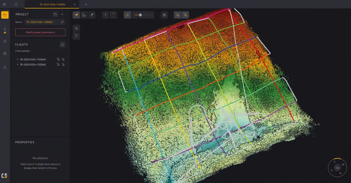
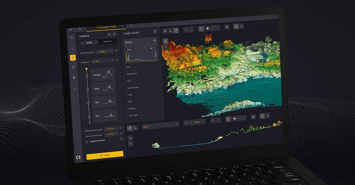
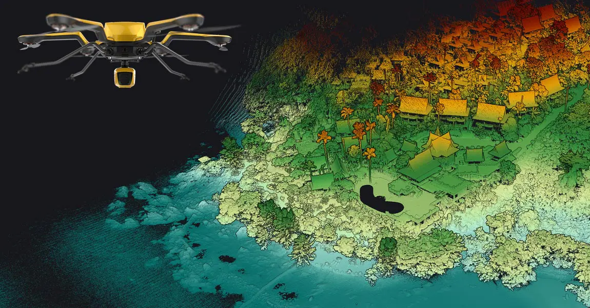
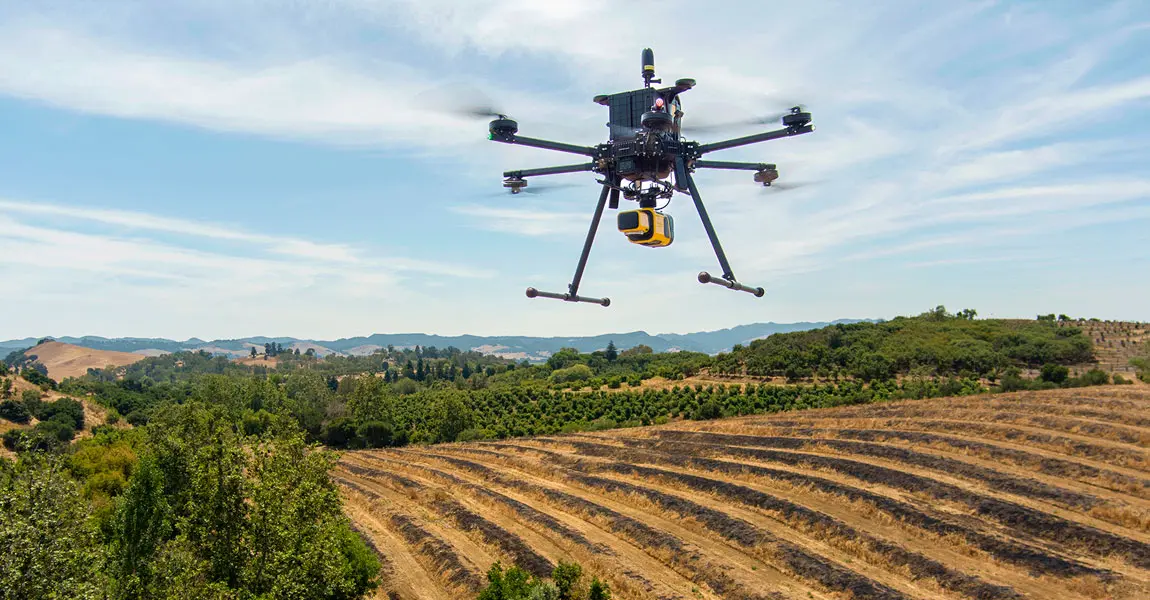
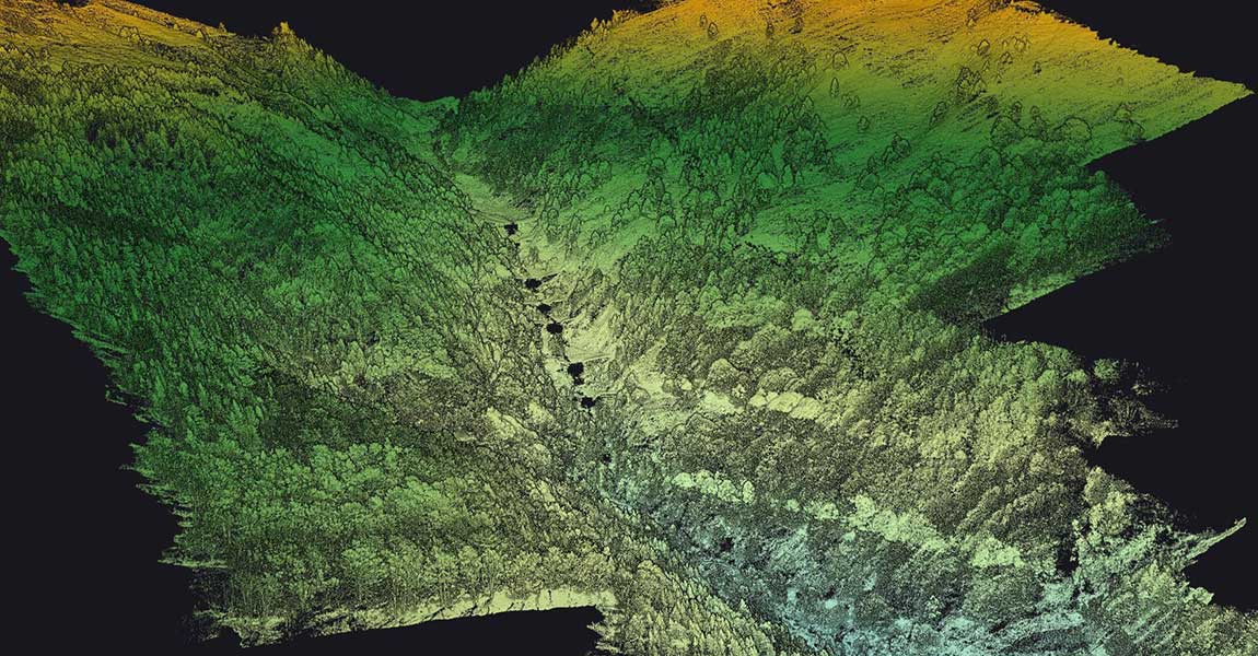
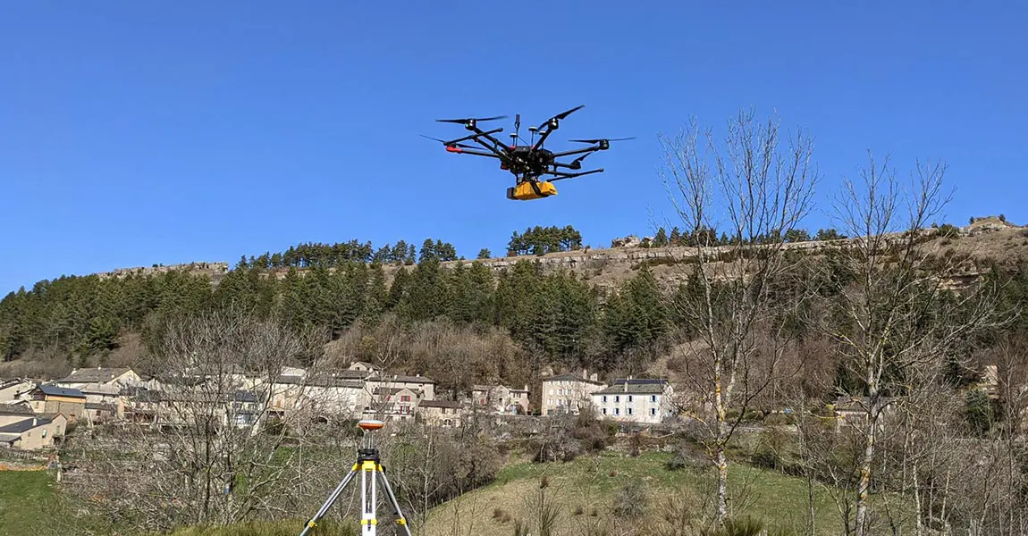
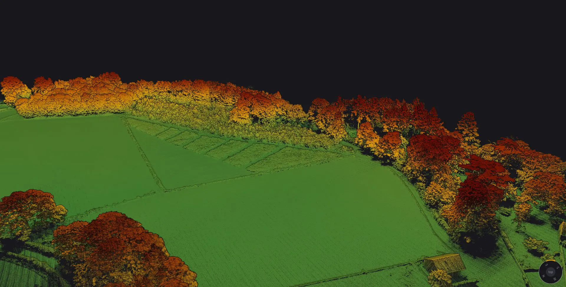
Discover how our YellowScan LiDAR solutions can help capture different levels of vegetation, from the canopy to the ground, which helps analyze forest ecosystems, tree growths, the spread of disease and parasites, and more.

Download catalog

Need help with your LiDAR project?

Let’s talk! Our team of experts can help you clarify your needs and propose the most suitable solutions for you to successfully complete your mission.

Using LiDAR for Environmental Research.

Contribute to a better environment for all living beings.

LiDAR systems are effective tools for monitoring environmental changes on a large scale.

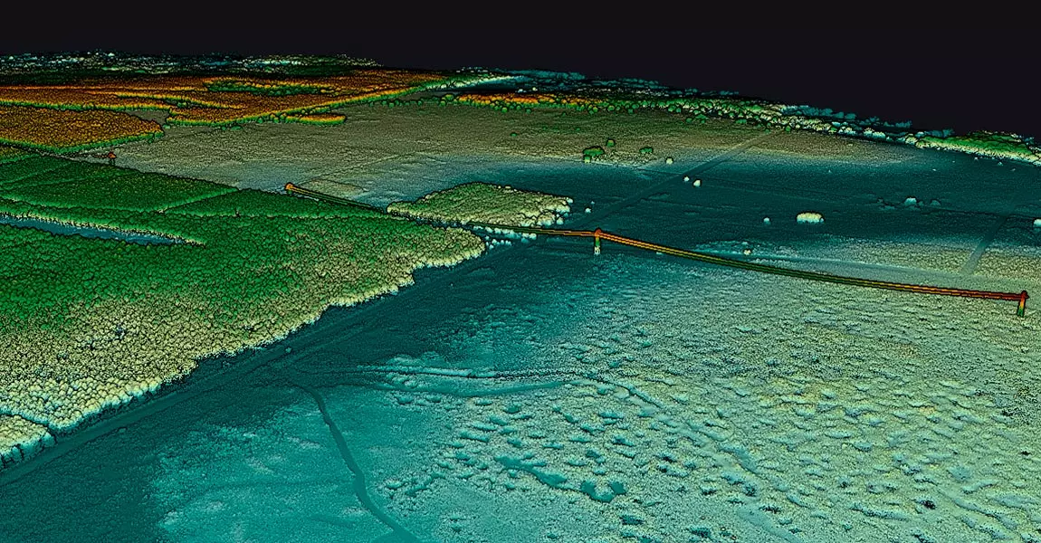
This technology has revolutionized conservation and environmental research by providing useful information, as 3D pointclouds, in the quest to save forests, animals, and humans.

Key figures Test

Knowledge base

Discover our solutions by reading about our users’ experience in the field.

View all articles

Castle-Mill-DTM
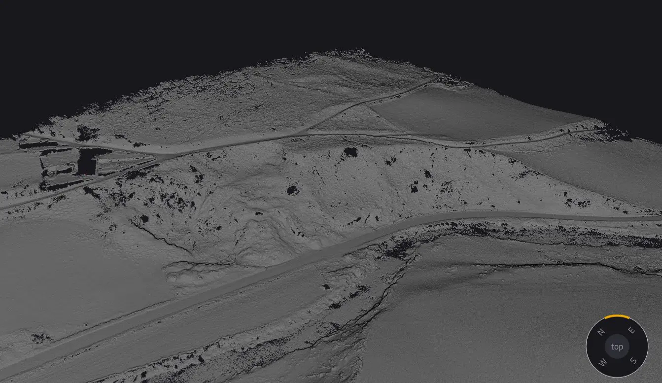
Using LiDAR for Landslide Identification in North Wales

Discover how LiDAR technology helped assess landslide risks in a large woodland prone to terrain instability and erosion.

Knowledge 20240912
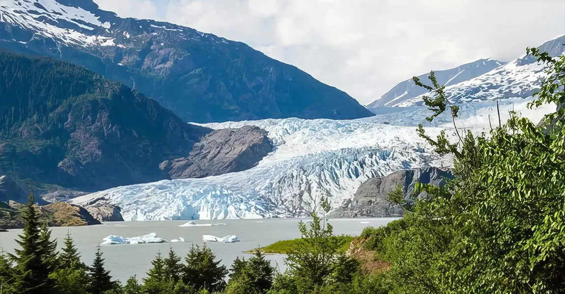
Using LiDAR for Emergency Response in Alaska

Frontier Precision faced a critical challenge when their long-term client, the Alaska Department of Transportation (DOT), needed to rapidly and accurately map the area affected by the Mendenhall Glacier flood in Juneau, Alaska.

Knowledge 20240702
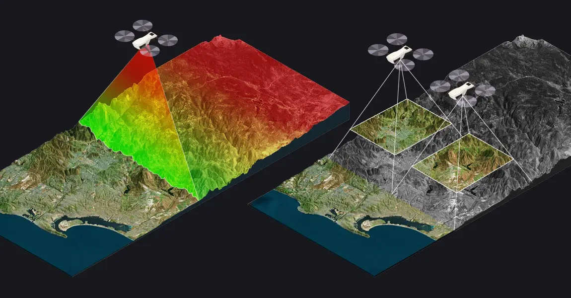
LiDAR vs Photogrammetry: Key Differences and Applications

This article compares two popular technologies for creating 3D models and maps: photogrammetry and LiDAR. The focus lies on key differences between both: how they work, the different outputs created for each, and popular use cases. The article finishes with a discussion of why investing in LiDAR can be a better choice, despite higher costs.

Knowledge 20240523
Landslide monitoring using UAS LiDAR

The University of Vermont (UVM) in the USA became involved in this project through its connections with the Vermont Geological Survey (VGS) and the Vermont Agency of Transportation (VTrans). UVM is one of the few organizations in the state with access to UAS LiDAR technology, making it a priority contact for capturing accurate elevation data and models for landslides, especially when rapid data collection was required.

LiDAR point clouds basics
LiDAR Point Cloud Basics

This article explains what LiDAR point clouds are and how they are used for 3D mapping applications. Learn the basics of LiDAR point clouds!

Knowledge 20240430
Understanding LiDAR Scanners

LiDAR scanners are used for capturing 3D point clouds. But how do they work? This and more are explained in the article below, which covers the operating principle of different LiDAR scanners and explains how distance measurements are transformed and combined into 3D point clouds. These provide the basis for many 3D mapping products used for different industry applications.

Knowledge 20240306
Drone Flight Planners: The Continuing Integration of LiDAR & UAVs

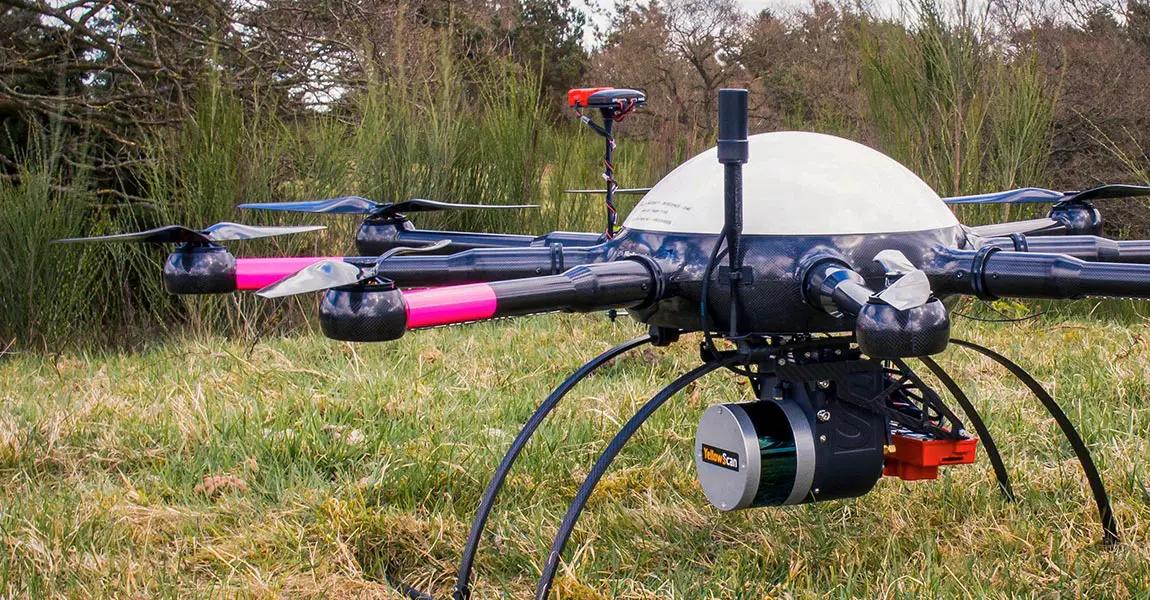
A LiDAR drone is an unmanned aerial vehicle (UAV) equipped with Light Detection and Ranging (LiDAR) sensors. A LiDAR is an active sensor that uses inertial measurement to correlate where it is on the earth’s surface, resulting in a direct measurement of the earth.

Knowledge 20231117
Protecting European Hamsters in Agriculture with LiDAR Technology

European Hamsters are a protected species living in agricultural areas, often alongside field mice, which are considered pests. Lack of awareness about hamster presence leads to unintentional harm by farmers, endangering the European Hamster population.

Environmental-Monitoring-and-Analysis-using-LiDAR-Technology
Environmental Monitoring and Analysis using LiDAR Technology

In the realm of environmental monitoring and analysis, the accurate assessment of vegetation plays a crucial role in understanding ecosystems. Drones equipped with advanced imaging technologies have revolutionized this process by providing efficient and precise data collection methods.

Navigator-picture-banner-press-release
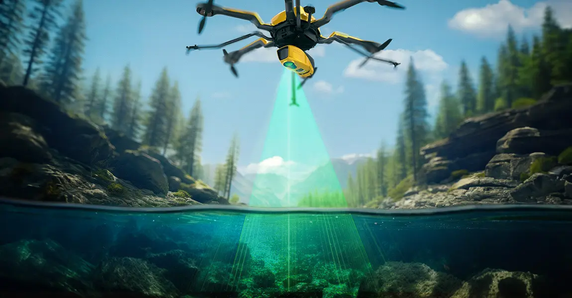
Does LiDAR work underwater?

How does laser scanning work underwater? How can a laser penetrate water? Discover this innovative technique for marine surveys and research.

Knowledge 20230706
Comprehensive LiDAR Survey for Modeling Pyrenees Avalanche Corridors

This mission was started by Instadrone in response to a request from the Departmental Directorate of Territories, which lacked LiDAR equipment and therefore outsourced the entire data capture process to drone companies.

Knowledge success story 20230505
Aerial mapping and climate change: LiDAR survey for ecological restoration

L'Avion Jaune, a company specialized in the production of earth observation data (multispectral imagery and LiDAR), tooks part in a study to model the hydrographic network and the hydraulic functioning of a wetland, within a nature reserve in New Aquitaine, France.

Knowledge 20221207
Risk assessment of rockfall hazards on road networks.

L’Avion Jaune were mandated by the Departmental Council to conduct a risk assessment study of rockfall hazards on their road networks.

Knowledge 20220727
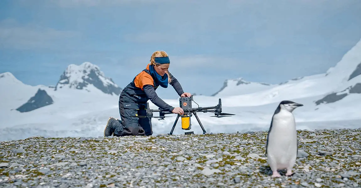
Mapping Penguin Colonies in Antarctica

Learn how the YellowScan Mapper LiDAR system was used in Antarctica to study the spatial distribution of penguins in their environment.

Knowledge 20211102
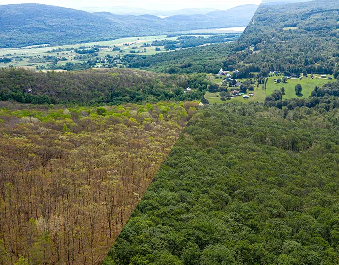
Using LiDAR to quantify effects of Climate Change in Vermont Forests – Documenting Caterpillar Damage

Developing an understanding of changes to the forest structure caused by the gypsy moth outbreak with YellowScan’s Mapper LiDAR sensor.

Knowledge 20200928
Detecting shrub encroachment in seminatural grasslands using UAS LiDAR

Discover how Bjarke Madsen from Aarhus University in Denmark, used YellowScan Surveyor for its biodiversity research work.

Knowledge 20200507
UAV LiDAR mapping under forest to find Iron Age Roman archaeological remains in the South of France

Discover how the UMR 5608 TRACES Lab Research team uses YellowScan LiDAR solutions to map micro-reliefs of archaeological interest.

Knowledge video 20190716

Key benefits

Our LiDAR solutions can capture different levels of vegetation, from the canopy to the ground, which helps analyze forest ecosystems, tree growths, the spread of disease and parasites, and more.

It also captures the 3D structure of the terrain and the vegetation above it, making it a valuable technique in many fields.

Snow cover evaluation

Compare bare and snow-covered terrains to work out the thickness of the snow and to find out where it accumulates. You can also follow the evolution of glaciers or pack ice.

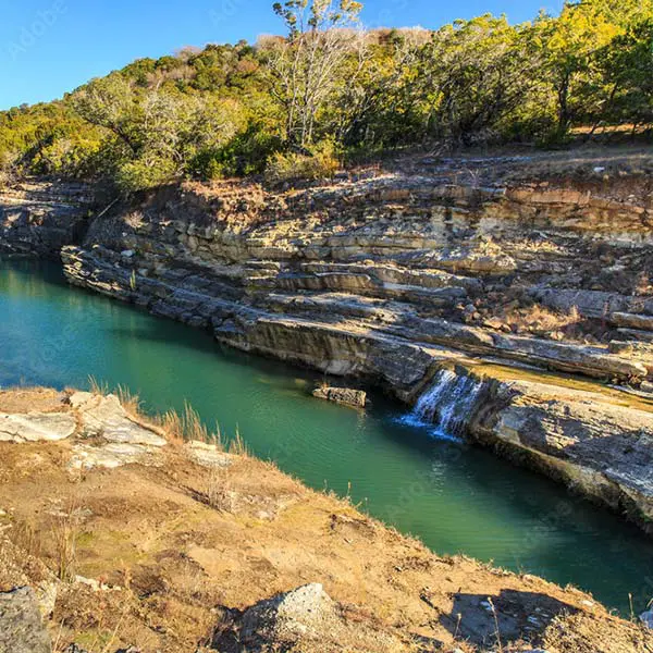
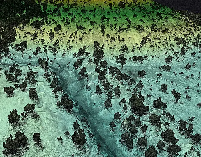
Geologic history

Study the Earth’s surficial processes and landforms.
EnvironmentalResearch Geologic-history

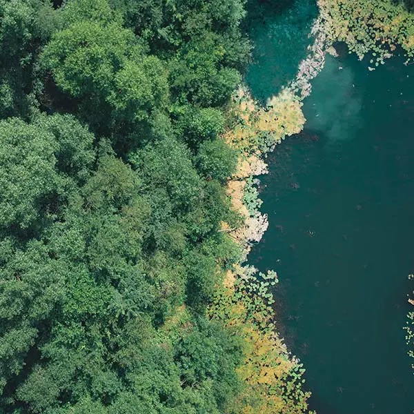
Mapping biodiversity from above

Obtain spatially accurate and comprehensive biomass evaluation for hazard prevention, effective planning and nature management.
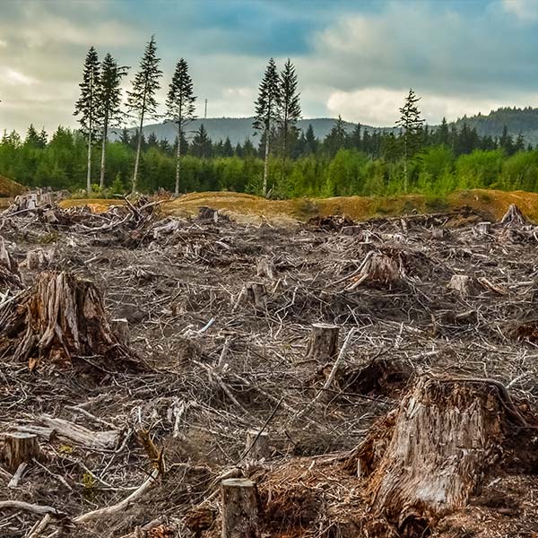
Industries forestry pest

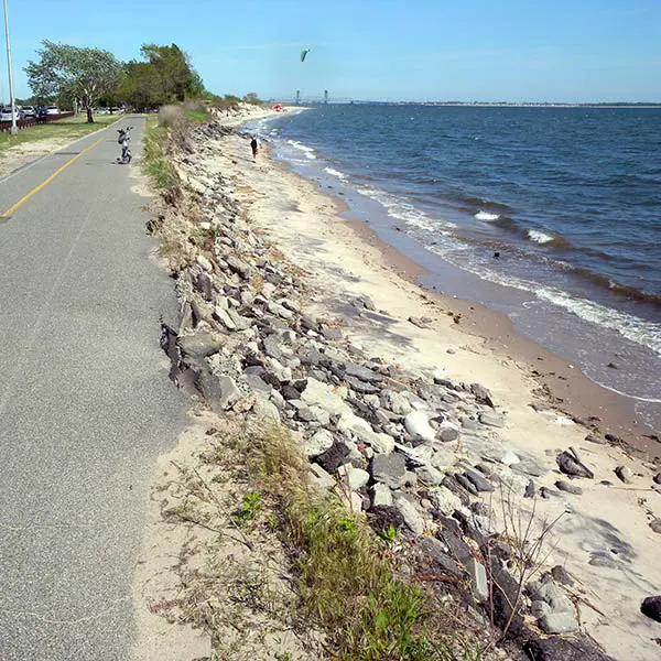
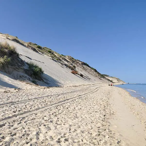
Erosion monitoring

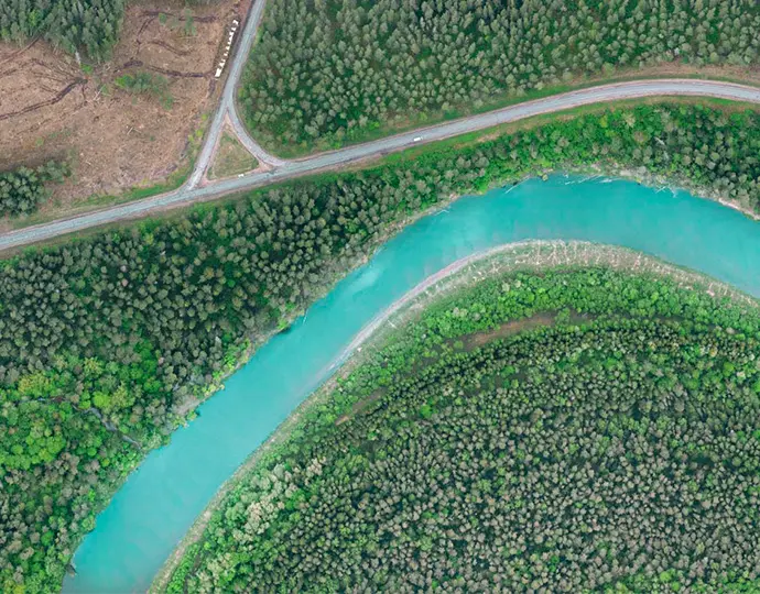
Follow the action of water in fast changing environments, such as coastal cliffs, rivers, canyons and gorges, and more.
EnvironmentalResearch Erosion-monitoring

Wildlife habitat suitability

Assess and characterize suitable wildlife habitat by getting detailed 3D landscape information not available from other remote sensing applications.