How LiDAR Mapping Uncovered Archeological Ruins in Mexico
Challenge
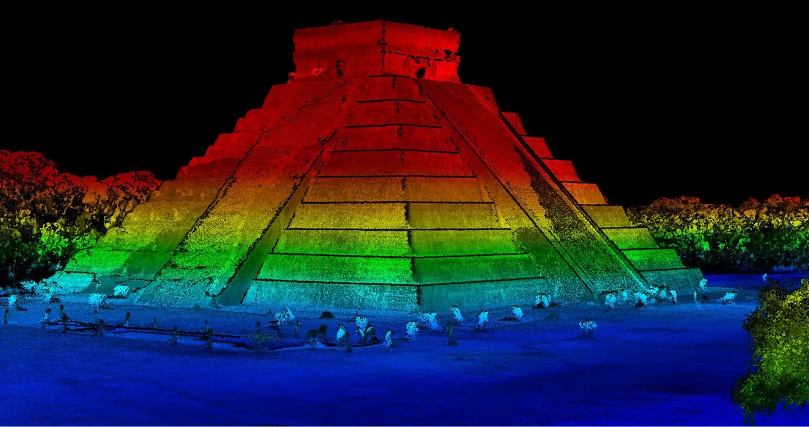
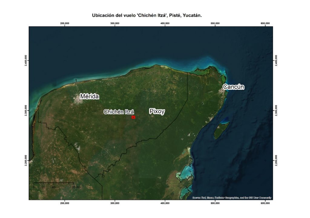
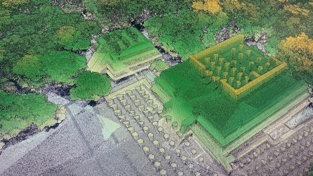
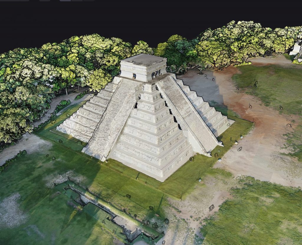
Our Mexican distributor, Geoearth held several meetings with the Mexican federal government, which led to a project aimed at searching for possible archaeological remains within the protected area of Chichen Itza. Geoearth conducted some studies to search for archaeological remains using traditional methods and flights with a drone, to obtain precise and verifiable results.
The main objective was to have the precise location of possible archaeological vestiges within the archaeological zone of Chichen Itza that had not yet been explored.
Solution
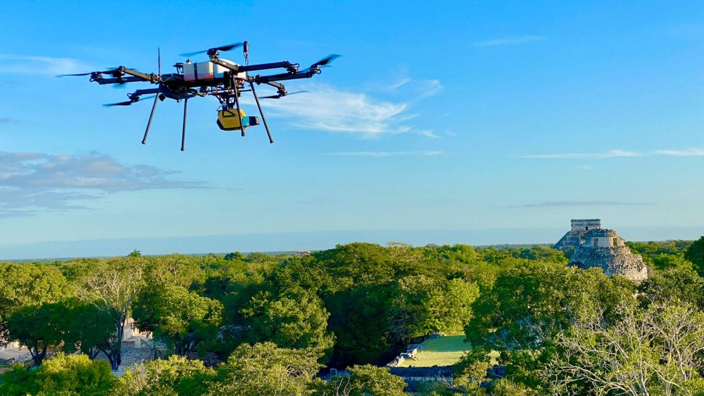
Geoearth used the YellowScan Explorer LiDAR sensor mounted on a Skyfront Perimetre 8 drone. The LiDAR sensor’s ability to provide 5 returns allowed them to obtain better data even in very dense vegetation. This LiDAR system was chosen for the mission due to its advanced features, including 5 returns and a 360° scanner, which enable higher-quality, more detailed data collection. The battery performance provided by the system was also a key factor in choosing it for this mission.
Mission Parameters
- Survey area: 30 sq km
- Duration: acquisition: 3 days, data processing: 2 days
- Number of flights: 6
- Flight speed and altitude: 8 m/s at 120 m AGL
- Equipment:
YellowScan Explorer LiDAR system
Skyfront Perimeter 8 drone
YellowScan CloudStation Ultimate software for point cloud processing, including strip adjustment, point cloud classification into ground and non-ground, and exporting point clouds in LAS and terrain models in TIFF formats.
Pospac MMS 9 software for correcting the sensor trajectories using the single base method.
Results
The results obtained by the Geoearth team were:
- Point density: 110 points per square meter
- Horizontal accuracy (XY) = 1.5 cm, Vertical accuracy (Z) = 3 cm
- 30 cm resolution digital terrain models
- Contour lines at 50 cm (masters) and 1 m (secondary) for better interpretation of the information
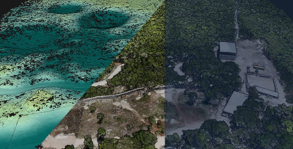
The YellowScan Explorer LiDAR sensor exceeded expectations, especially given the site’s dense vegetation, which originally made precise terrain data challenging to obtain. With this sensor, they achieved a density of 110 points per square meter, resulting in a high-quality point cloud. This allowed them to generate a 30 cm resolution digital terrain model and use contour lines to effectively interpret potential archaeological remains. As a result, they achieved better-than-expected outcomes, uncovering more remains than anticipated.
The YellowScan Explorer LiDAR system provided excellent data quality in terms of positioning and vegetation penetration, allowing them to obtain optimal results.
The data processing was carried out in a couple of days after the field work, using the YellowScan CloudStation software, which had received some updates that were very helpful in processing the information in such a short time.
Geoearth was able to provide the precise coordinates of where these potential ruins were located, allowing the GIS center and the National Institute of Anthropology and History (INAH) to verify this information in the field and confirm that the study results were accurate and properly interpreted.
The main benefit of using a YellowScan sensor is its power for obtaining data in dense jungles, as well as the battery life that allows up to 2-3 hours of continuous flight to acquire large amounts of data without damaging the environment. It is also important to note that the Applanix card integrated in the sensor for obtaining high-precision LiDAR data has the best quality and different processing methods.

David Samadi Castilla
CEO – Geoearth
