Need help with your LiDAR project?
Let’s talk! Our team of experts can help you clarify your needs and propose the most suitable solutions for you to successfully complete your mission.
Surveyors.
Highly productive LiDAR systems that deliver superior results for demanding end customers.
Success story
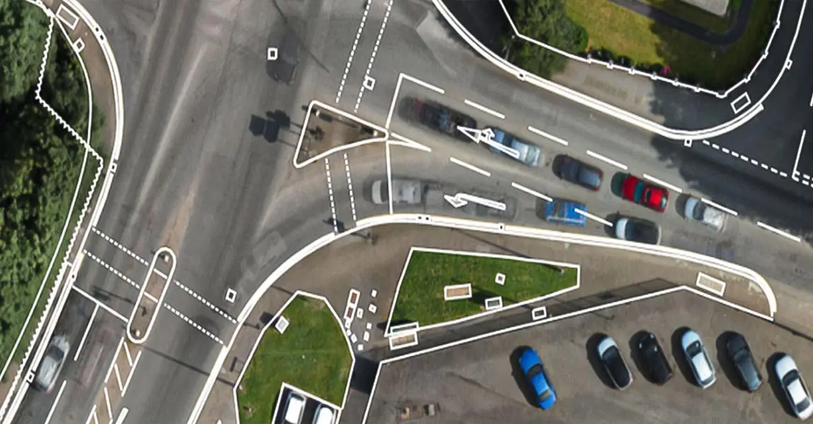
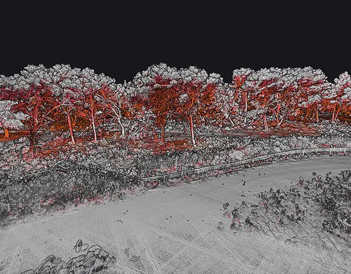
Roadway inspection: Old Mill Road, Cheshire for Eurovia Infrastructure
YellowScan’s partner FlyThru, one of the UK’s leading providers of unmanned LiDAR surveys, was mandated by their client, the digital construction team at Eurovia Infrastructure to survey an area for a project.
Read the success storyScan up to 1000ha (2500 acres) of land a day
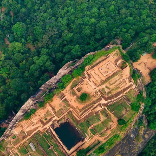
When compared to a traditional archeological excavation, creating DEM with a YellowScan LiDAR system is faster and less costly.
Low mobilization and demobilization
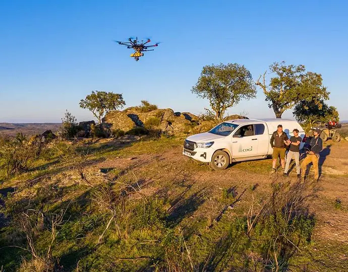
Our solutions are easy to deploy and cost-effective tools for mapping areas of interest.
Data generation in a few clicks
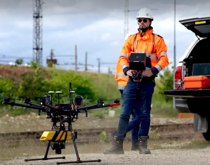
Handle your pointclouds with our very own, all-in-one software solution. Extract, process, and display raw data immediately after flight acquisition.
Accuracy
LiDAR systems collect extremely dense data which means that the results are highly accurate. This data in the shape of 3D pointcloud allows professionals to plan detailed projects needing high-level precision.
Safety
LiDAR systems can be operated remotely, making them the perfect choice for locations that may be unsafe for humans to operate or stay for extended periods. It can deliver data from places where humans cannot physically go such as dense jungles.
