YellowScan LiDAR Convention 2024
Welcome to the 5th edition of YellowScan LiDAR Convention!
It’s a great opportunity to engage in discussions about the industry’s latest developments, connect with industry peers, and gain insights into customers’ needs.
A high-end program
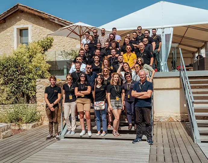
This YellowScan event focuses on the trends that will shape tomorrow’s companies by covering a variety of topics ranging from the advantage of using LiDAR to what to expect for this market in the next few years. This event is your opportunity to join experts to share experiences, receive feedback from your peers, and be inspired by users and the YellowScan team. Learn how industry leaders are using the YellowScan CloudStation and LiDAR portfolio.
An exquisite location
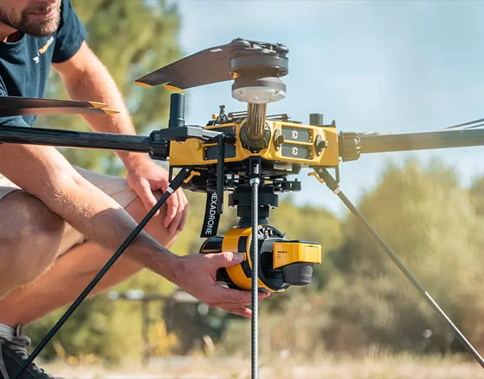
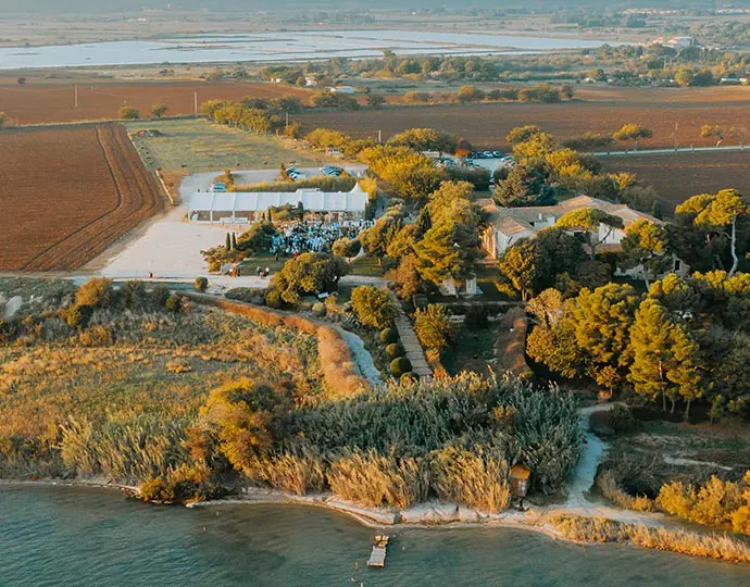
The event will take place at the beautiful Domaine des Moures, located near Montpellier, France.
Key figures
Keep it provoking: it’s important to sharpen minds to let every attendee go full of new ideas and insights!

Our sponsors

Trimble Applanix is a world leader in advanced GNSS-Inertial solutions for UAVs. Their extensive experience and expertise with Direct Georeferencing solutions make them a leader in mobile mapping and survey applications. Technical tracks are planned during the YellowScan LiDAR Convention to allow participants to discover the many Trimble Applanix technologies, all designed to maximize your survey productivity, accuracy and performance.
Trimble Applanix solutions have been integrated with our YellowScan LiDAR and CloudStation Software since 2016. Trimble Applanix is YellowScan’s preferred Direct Georeferencing solution.
Founded in 2007, SBG Systems designs, manufactures and supports a wide range of cutting-edge inertial sensors such as Inertial Measurement Units (IMU) and Inertial Navigation Systems with embedded GNSS (INS/GNSS).
Since 2023, YellowScan and SBG Systems have been working together within the La French Tech ecosystem. The Quanta Micro IMU is now integrated in three YellowScan LiDAR and the Quinertia post processing software is available in the YellowScan CloudStation.
Emlid team makes the surveyor’s daily work easier and more efficient. We believe that professional GNSS hardware and software can be modern, intuitive and easy to use. To achieve this, we rely on the experience and feedback of land surveyors and drone mappers and provide personalized support at all times. Emlid is already a trusted choice for drone mapping pilots needing RTK base stations or placing GCPs.
Partners
UAV partners

Technological partners


Press partners

Get event updates!
As new details emerge and announcements are made about this year’s YellowScan LiDAR Convention, stay updated and well-informed.
